MAY 26, 2024: The sunshine was short-lived. We woke up to an overcast day.
Originally the plan was to visit the Jewish cemetery in Inverness, then continue to Loch Ness and visit the Urquhart Castle, then return to a campground near Inverness. This involved lots of driving and we decided not to go to Loch Ness (we had been there before) and instead, hike the section of the Moray Trail that we did not do last Thursday.
After the usual motorhome morning maintenance routine (we made a long checklist and taped it to the door to make sure we do not forget anything), we drove to the nearby town, Buckie, and went to the Tesco Superstore. We are still finding a place for everything, and we picked up a garbage can and some more boxes for organizing.
Just as we returned to the motorhome, it started pouring heavy rain.
As we started the car, my phone started blaring – there are rockets in Raanana! And now also Tel Aviv! After four months of quiet, we hoped that we were done with the rockets. After making sure everyone was okay, we continued on our way.
Walking in this rain would not be fun and our hearts were elsewhere, so we decided to skip the hike and continue straight to Inverness, about 1 ½ hours away.
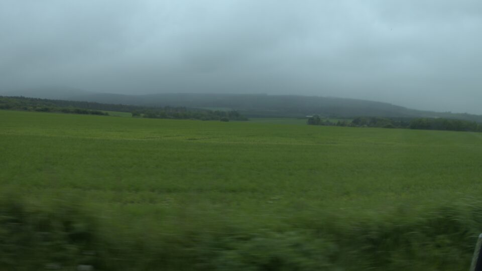
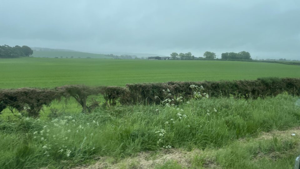
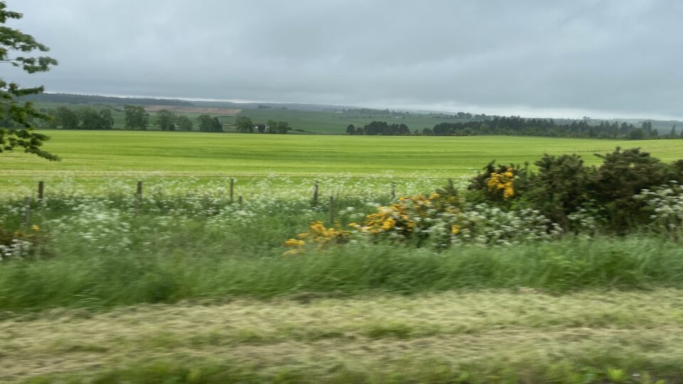
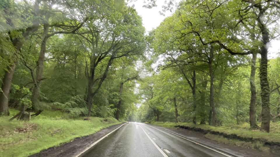
Besides driving on the left, there are many road rules we need to follow. When we first got the motorhome, and a motorhome passed us in the opposite direction, the driver and passenger waved hello. A second motorhome passed, and the same thing happened. Then we understood- when a motorhome passes another motorhome coming in the opposite direction, you wave hello. Since there are lots of motorhomes, we wave hello often.
The roads here, even the main thoroughfares, are usually two lanes, one in each direction without shoulders. The speed limit is usually 60 mph (about 97 kilometers per hour). This is the speed of divided highways in Israel. Here however there are crossroads, there are entrances to driveways, sometime even pedestrians. With the motorhome, we cannot drive so fast, so often a long line of cars get stuck behind us. We then spend much time looking for the “P”, a sign that indicates there is a parking place alongside the road. We pull in there, and let everyone pass. We count the cars as they go pass. For a long time, the most was 10. Today we reached 37.
And then there are the one-track roads. These are narrow roads with room for only one car, but they are used for both directions. About every 100 meters, there is a passing place. If you see a car coming in the opposite direction, you wait at the passing place until he has driven by and then you can continue. So far, our experience has been that cars generally wait for us. They see us coming, pull into a passing place, flash their lights so we know they are waiting, and we continue. Occasionally we waited for the other car to pass. The system works well, but it does add some driving time, because you do some waiting.
One more thing we discovered is that all the signs are in miles (that we expected) but when you buy gasoline, you buy it in liters, not gallons. The UK completed their transition to the metric system in 1995. Only two things still use the imperial system – the miles on the road and the pints of beer on tap sold in the pubs.
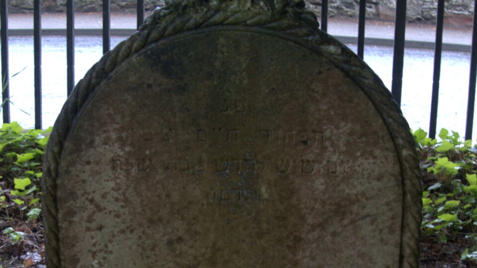
We finally made it to Inverness, where there is a large cemetery, Tomnahurich Cemetery Hill, on the outskirts of the city. It has a Jewish section. There was never a large Jewish community in Inverness and the Jewish section of the cemetery is very small – barely a dozen graves. Most are from the past 30 years, but there was one from 1886.
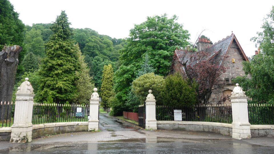
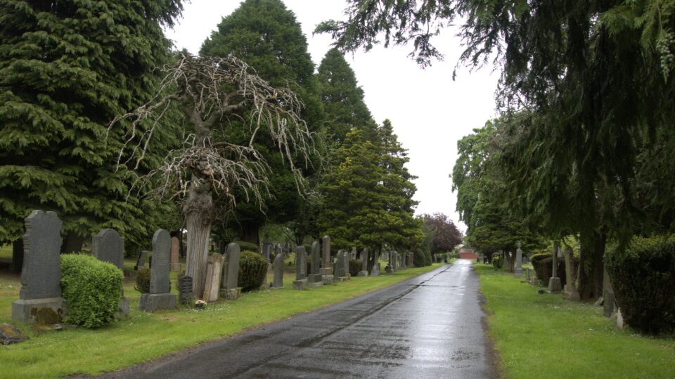
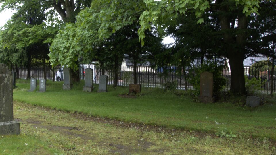
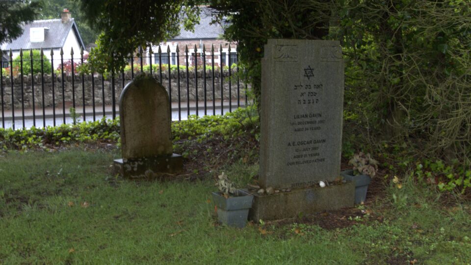
Inverness is the start of the next part of our trip – the NC 500, which stands for the North Coast 500. It is a 516-mile (830 km) scenic route around the north coast of Scotland, starting and ending in Inverness. It was launched in 2015 as a touring route of the north Highlands of Scotland to promote tourism in the region.
We would be doing most of the NC 500 over the next two weeks, taking a few days off to visit the Orkney Islands in the middle. Some of the route is not recommended for motorhomes, so we will need to skip over those places. Although the official route goes in a clockwise direction, we will be doing the route counterclockwise. This was recommended in a YouTube video I watched. The western side of the Highlands is much more spectacular than the east, so doing it counterclockwise, you are saving the best for last.
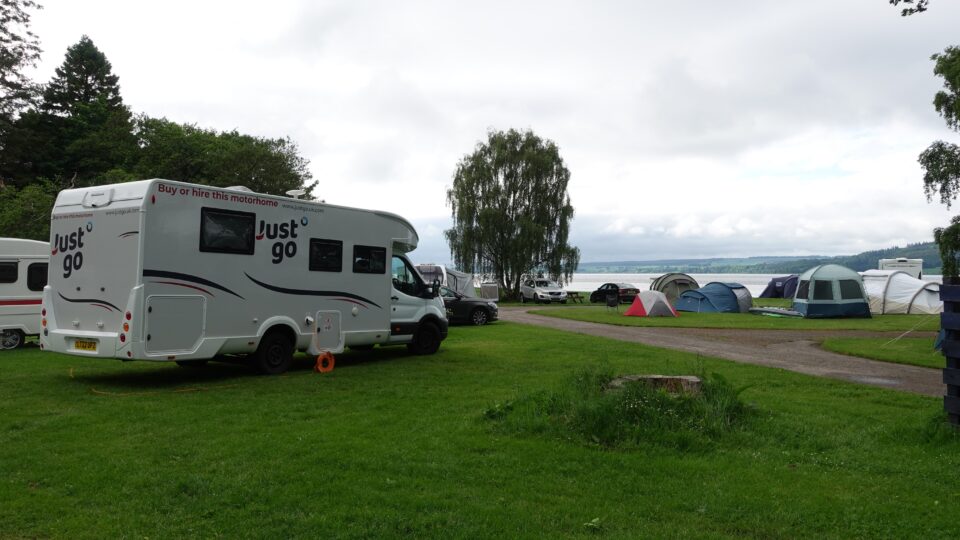
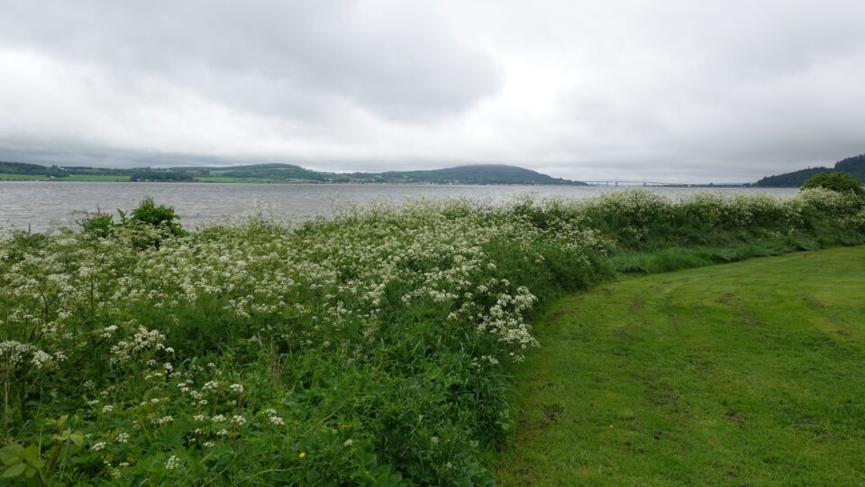
After the Inverness cemetery, we went to our campground in Bunchrew, a few miles west of Inverness. We were not the only ones who arrived early – the place was already quite full although it was early in the afternoon. The location was stunning. It was on the water, on the Beauly Firth, and you could see the Kessock bridge in Inverness, that we would drive over tomorrow, in the distance.
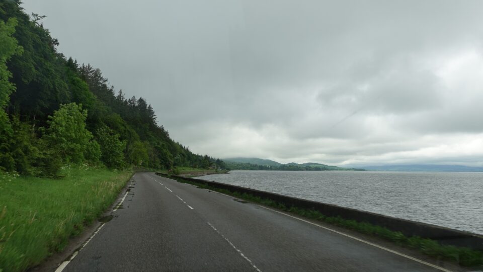
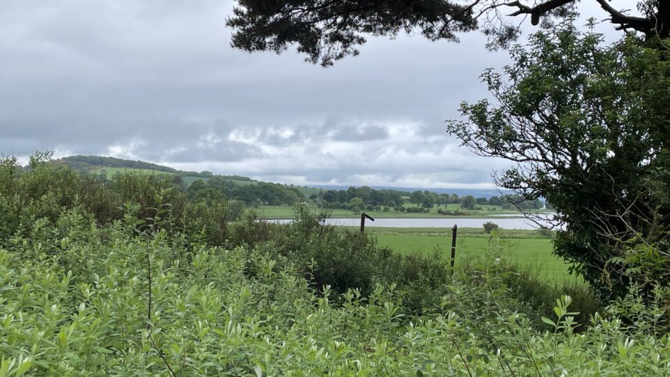
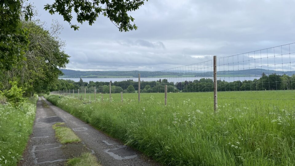
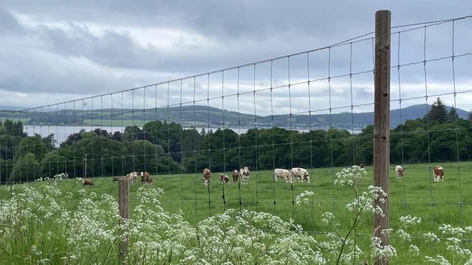
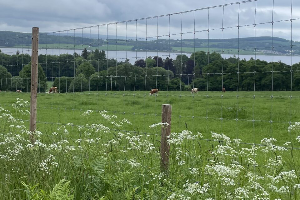
The weather cleared up and we asked at the office if there were any walking trails nearby. He recommended that we walk up the road on the hill across the street. We had a pleasant walk. At one point, the cows in the field discovered we were there, and came running across the field and lined up looking at us. I guess not many people walk up this road.
Looking forward to our first day on the NC 500 tomorrow.
What explains the more recent growth of the Jewish community in Inverness?
Wow people actually sleep out in tents in this weather. Good that you have a motor home!