MAY 27, 2024: This morning, we woke up to sunshine. I said it looks like a sunny day. Mark answered that in Scotland we need to talk in smaller increments. Not a sunny day, but a sunny hour. He was absolutely right. Less than an hour later, I got a phone alert from my weather app that rain will start soon.
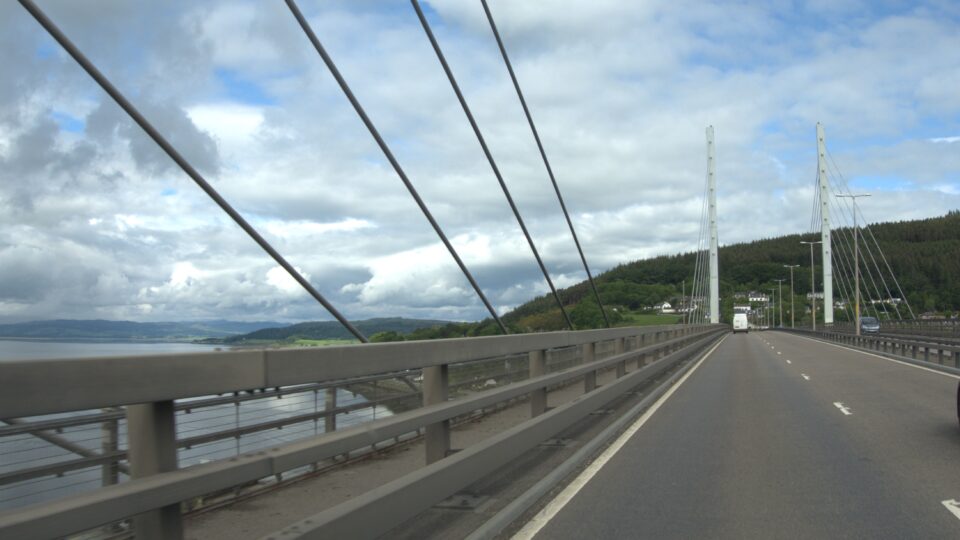
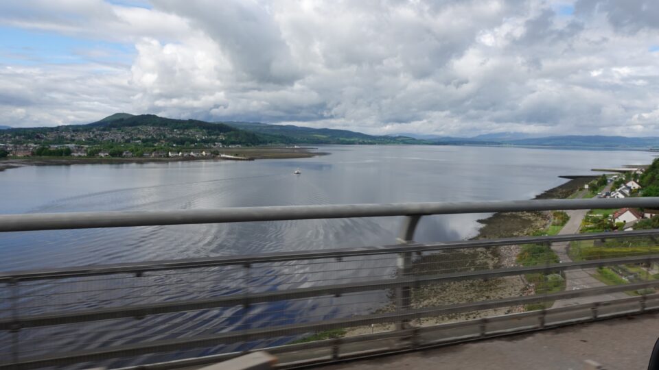
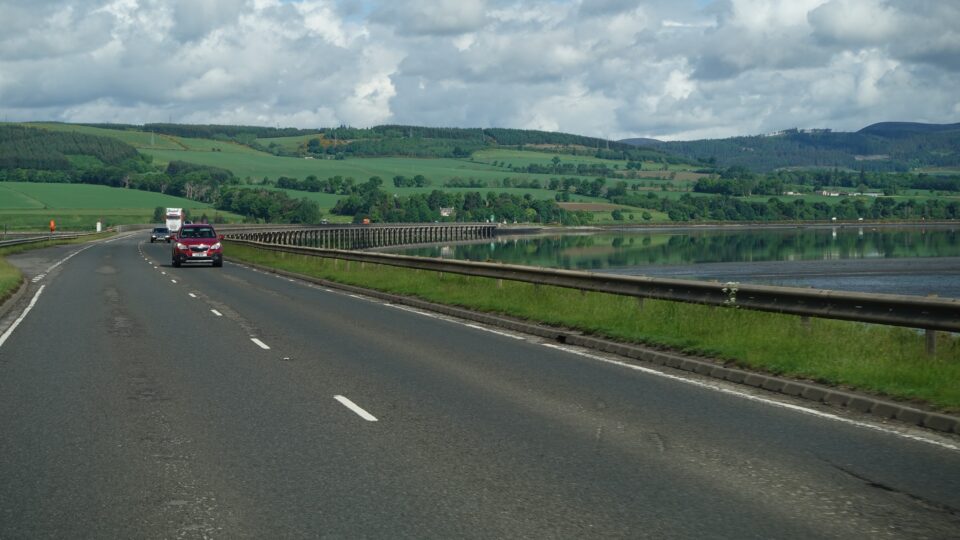
From the campground, we drove back to Inverness, crossed over the Kessock bridge and headed north. We were now on the NC500.
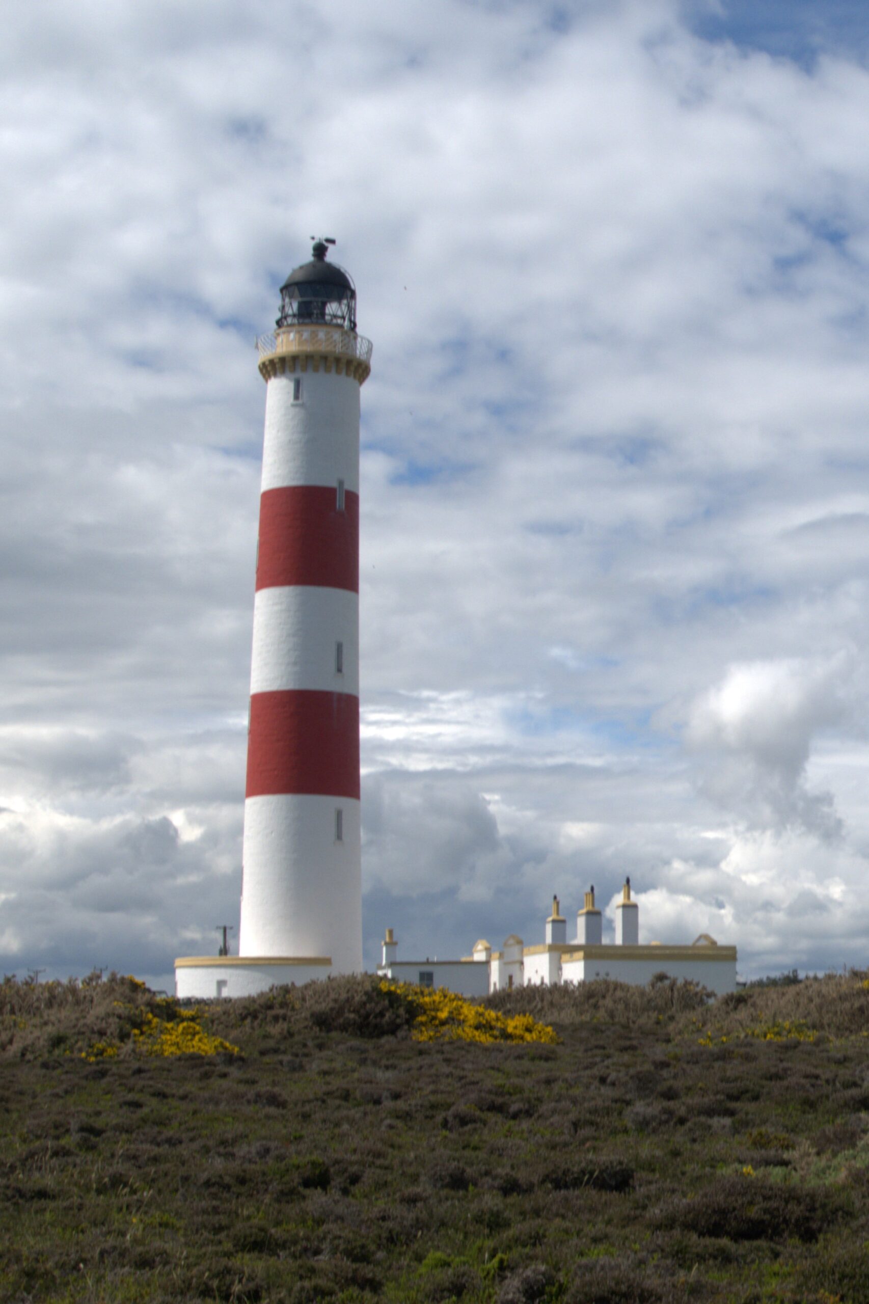
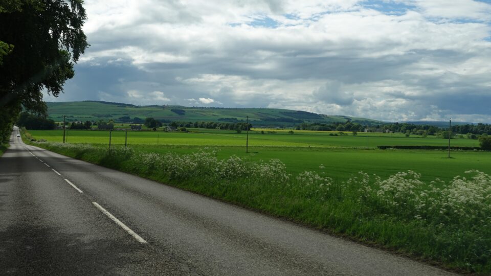
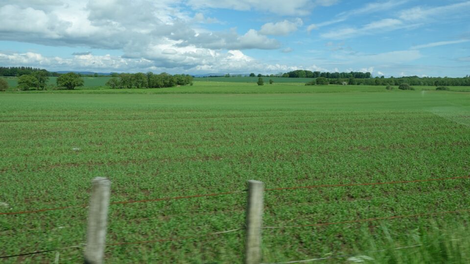
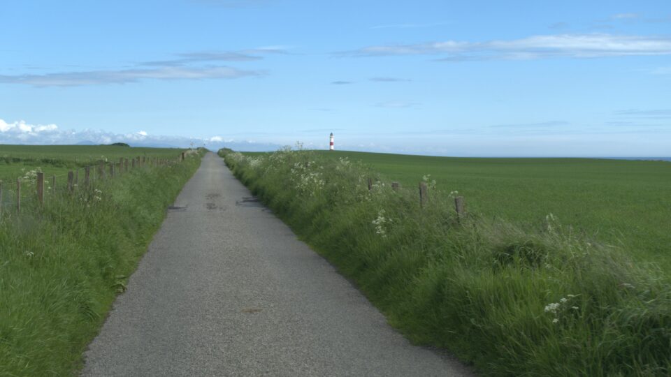
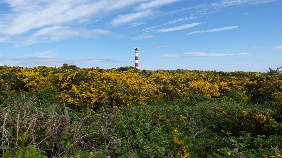
Our first destination was the Tarbet Ness Lighthouse, a few miles off the main road. The main highway is a two-lane road (one lane in each direction). To reach the lighthouse, we drove on secondary roads. Most of the way was just barely enough for two cars. The last mile was a one-track road. Sometime a one-track is preferable, because it has designated passing places. A narrow two-lane, is sometimes not big enough for two motorhomes to pass each other and we need to improvise.
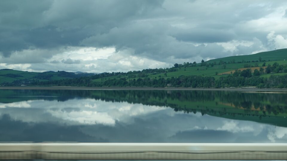
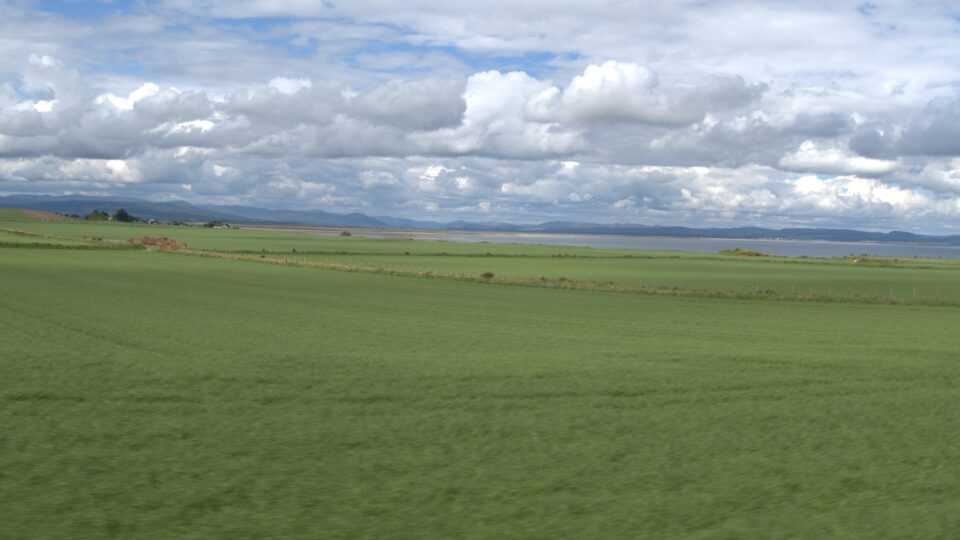
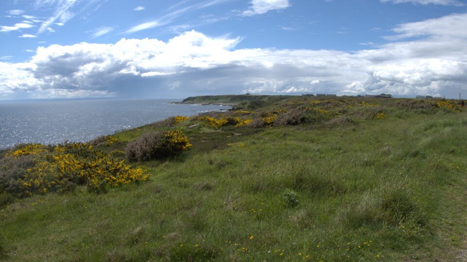
We drove through very green agricultural lands. The lighthouse sits at the tip of a peninsula and as we got closer, the coastal water appeared.
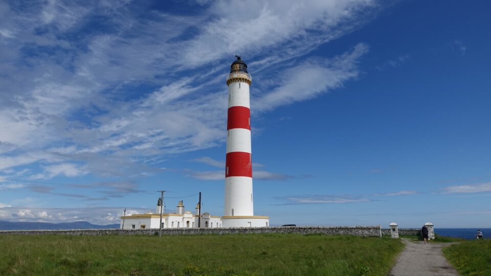
We were lucky that there was one place large enough for a motorhome in the lighthouse parking lot. It was a short walk from the parking lot to the lighthouse.
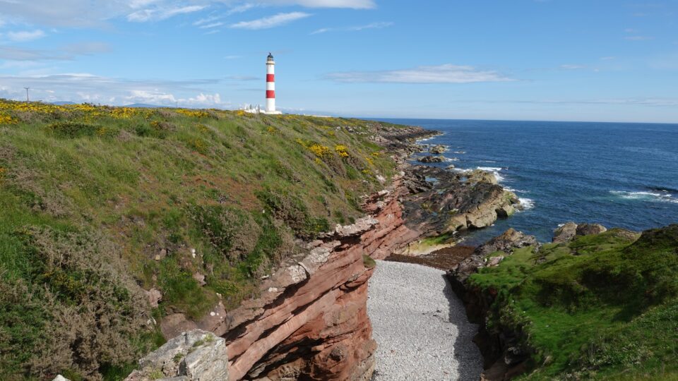
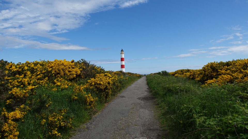
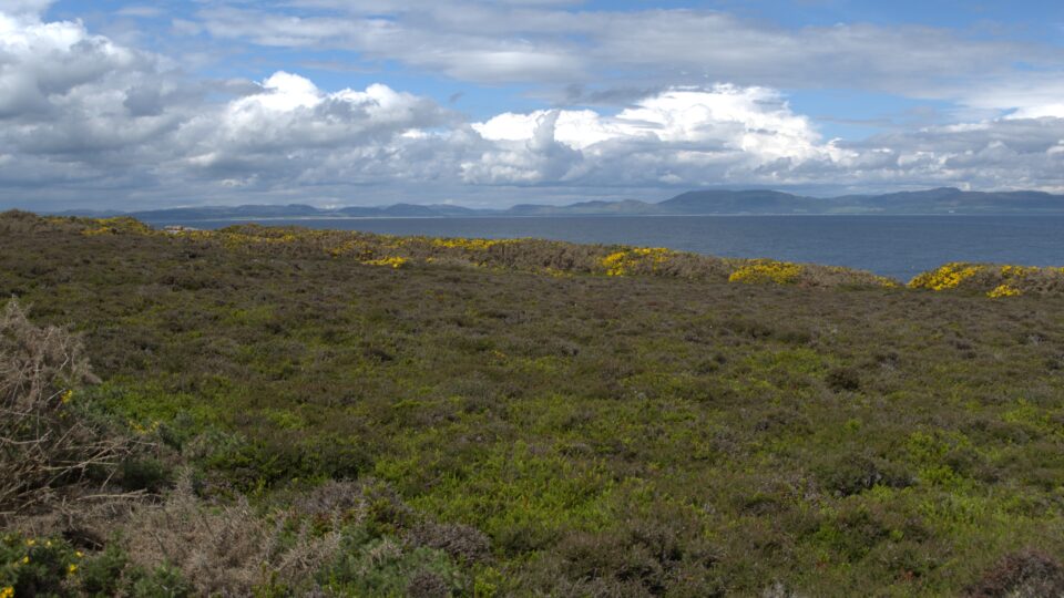
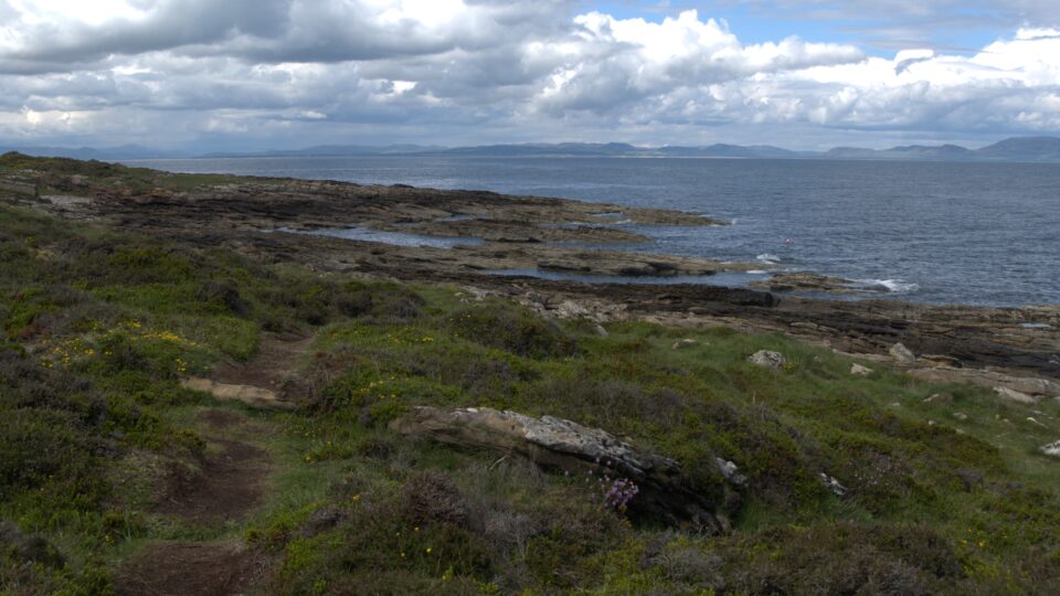
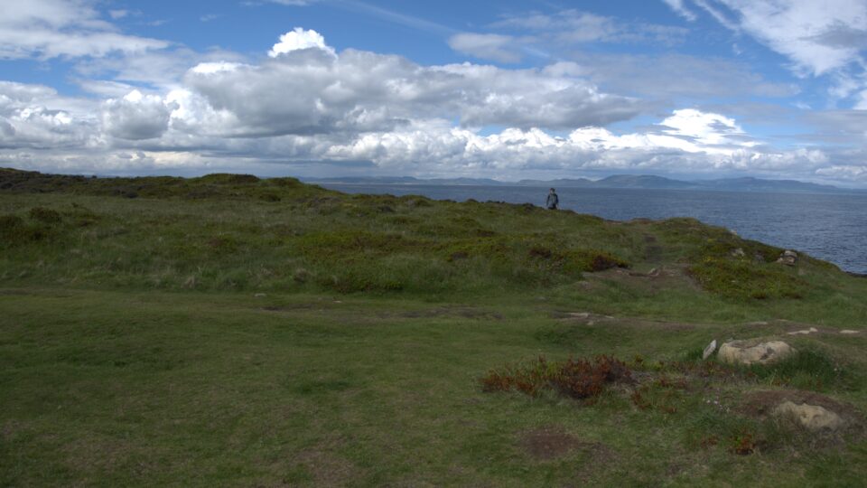
We walked all around the tip of the peninsula to get different views. Beautiful!
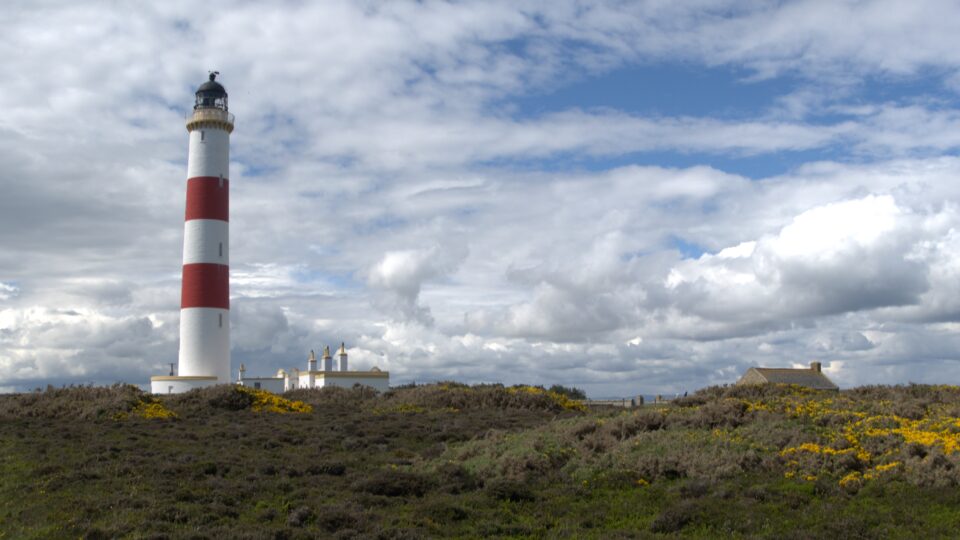
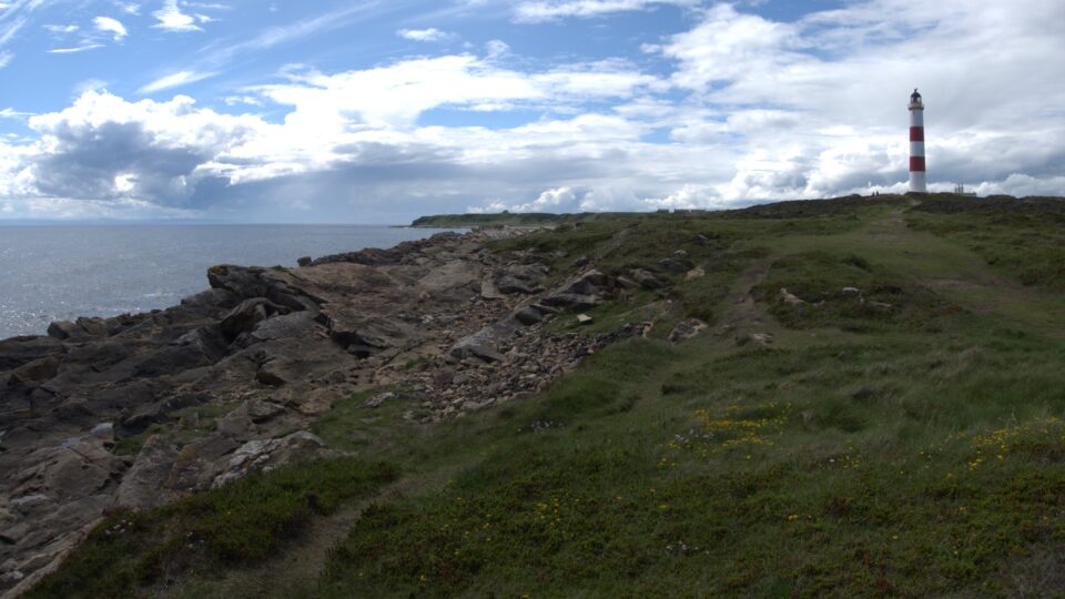
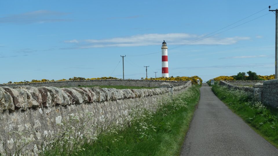
The lighthouse is one of the many planned by Robert Stevenson, who we learned about at the Museum of Scottish Lighthouses a few days before. For over one hundred and fifty years, Robert Stevenson and his descendants designed most of Scotland’s lighthouse. An information board here confirmed that Stevenson was the grandfather of Robert Louis Stevenson, the author. Visits to remote lighthouses are thought to have inspired the grandson to write Kidnapped and Treasure Island.
Tarbet Ness Lighthouse is Scotland’s second-tallest land-based lighthouse, standing at 41 meters (135 feet). It was automated in 1985 and today is monitored remotely by the Northern Lighthouse Board. The weather for the hour we were there was sunny.
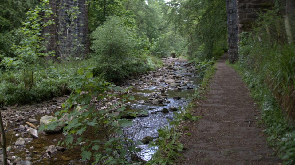
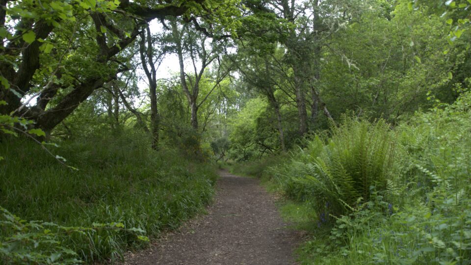
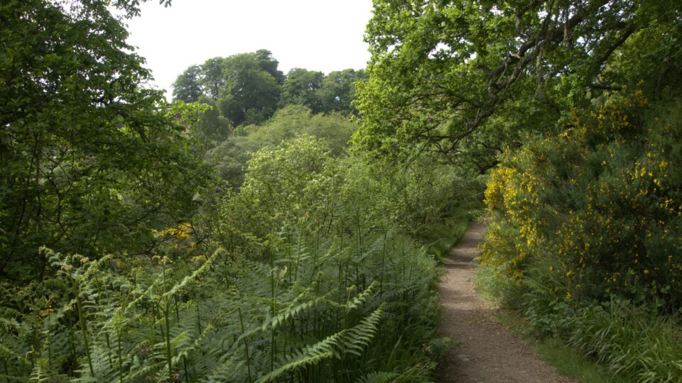
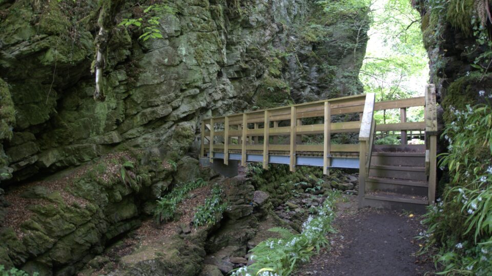
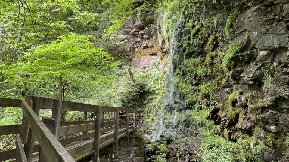
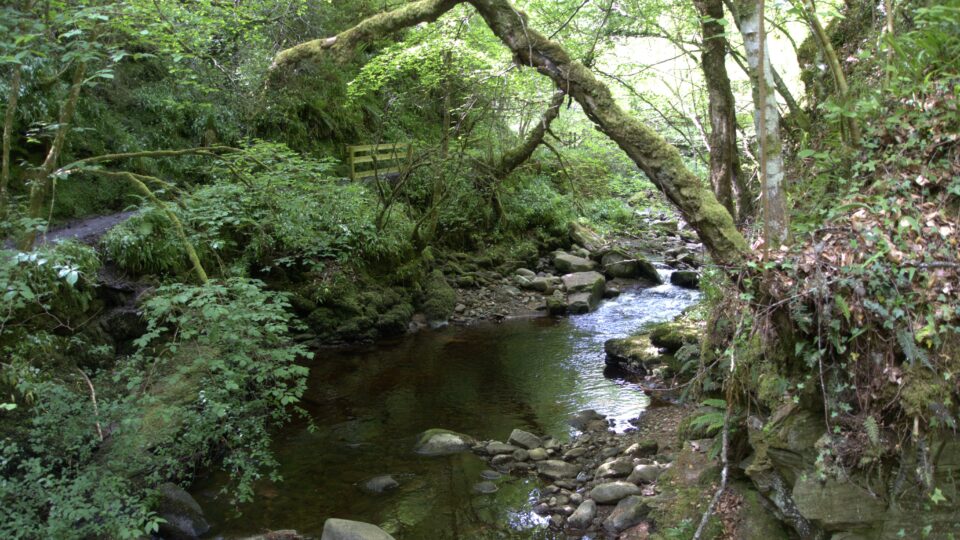
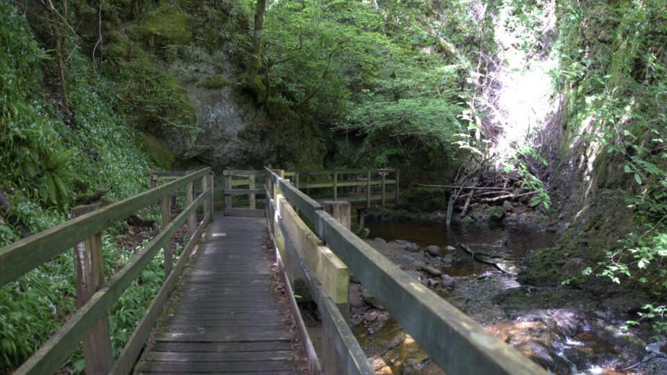
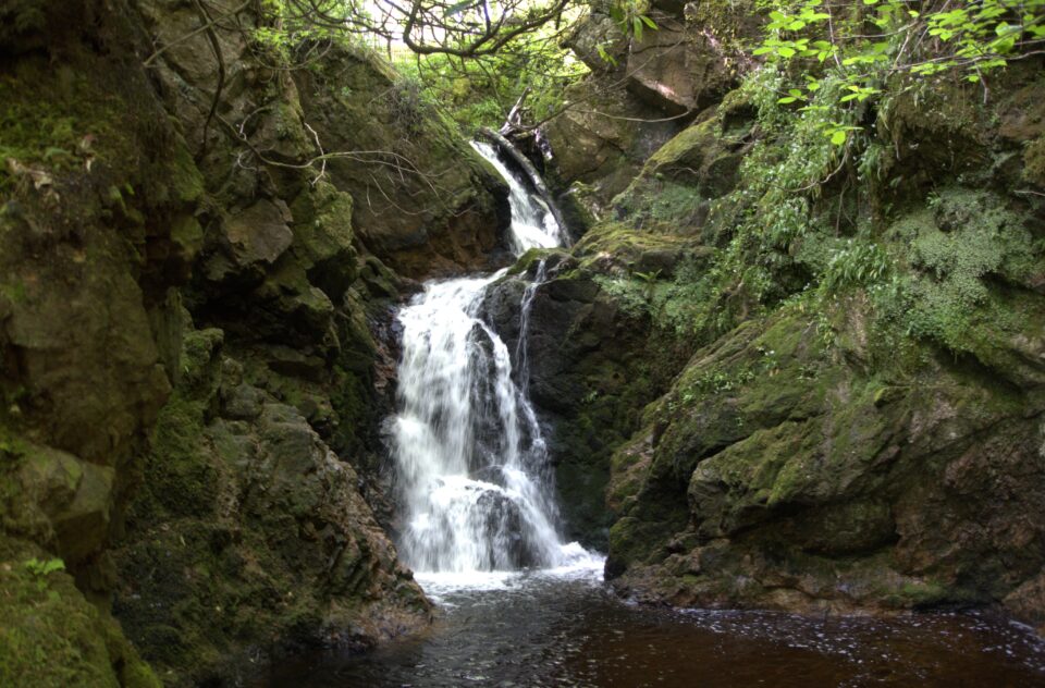
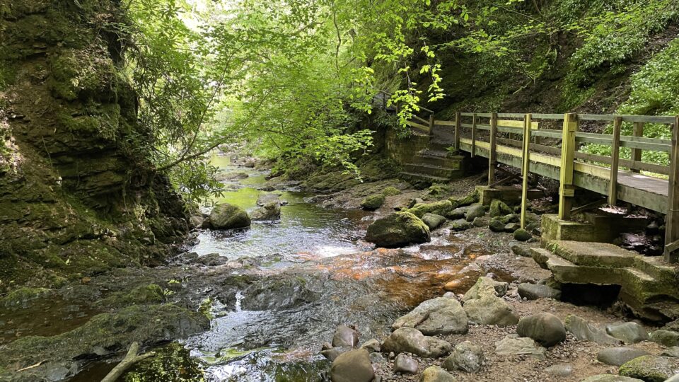
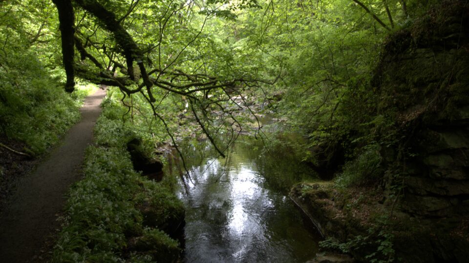
Our next stop was to the Big Burn in Golspie. In Scotland, a burn is a large stream or a small river. The parking lot was very small, and once again we were lucky to find a spot that we fit into (barely). We walked along a stream in a glen and crossed two bridges. There was a tall thin waterfall – I thought we had reached the end. Luckily Mark read the papers I had printed with details about the walk and he saw that we were supposed to cross five bridges back and forth over the stream until we reach a viewing platform. And so, we continued onward, and eventually reached the platform and saw a much larger waterfall. The hour of the walk was mostly sunny, with scattered drizzle.
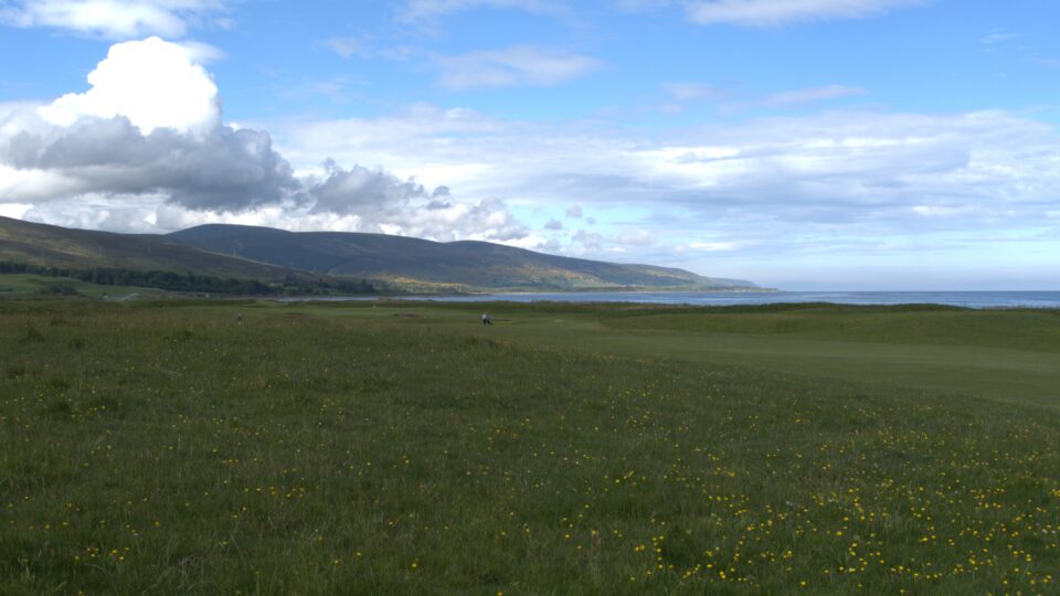
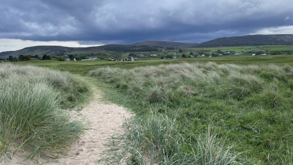
We then drove to our campground, just a few miles down the road. At the office, they told us there is beach access through the golf course. On Saturday we walked on a golf course as part of the Moray Costal Trail. Now once again we walked on a golf course, this time to reach a beach.
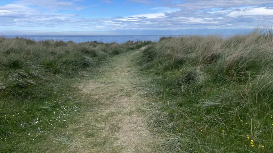
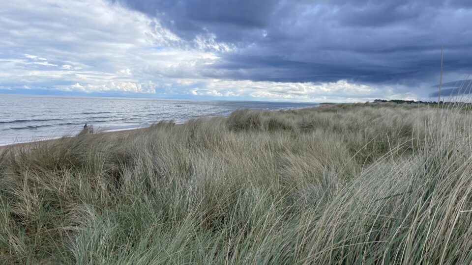
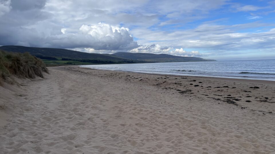
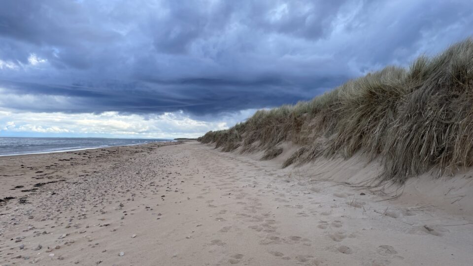
We arrived at the campsite at 4:30, when it was sunny. My weather app said that at 5:00 it was supposed to start raining. We did not stay long on the beach and returned to the motorhome just as the rain started.
Our first day on the NC500 went well. Several hour increments of sunshine and only a few increments of drizzle.
Do you find the weather app accurate?