JUNE 4, 2024: If yesterday, the scenery was wow, amazing, stunning, spectacular, gorgeous – today, even more so.
Our campground last night was on a pier in Kilohenries. We woke up to rain and a very strong wind that shook the motorhome. We heard the waves crashing on the shore nearby. Looking out the front window, all we could see was water. With the motion from the wind, the sound of the rain and the waves, and the view of the water, like in Stromness, it felt like we were on a boat.
Two hours later, after eating breakfast and getting ready to leave, the sun was shining brilliantly.
Our first destination was Oldshoremore Beach, considered one of the most beautiful beaches in the area and only a five-minute drive down the road. As we were driving the rain once again started pouring buckets. We unfortunately took a wrong turn and ended up on a very, very narrow road – not really meant for motorhomes – but luckily, we eventually found a place to turn around. From there we could see Oldshoremore Beach in the distance. It was pouring hard rain and we decided not to continue any closer to the beach.
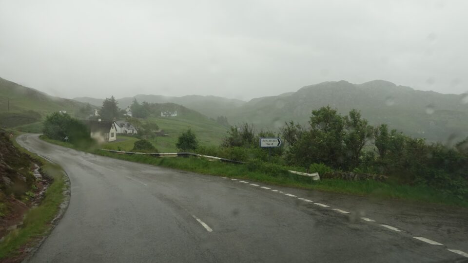
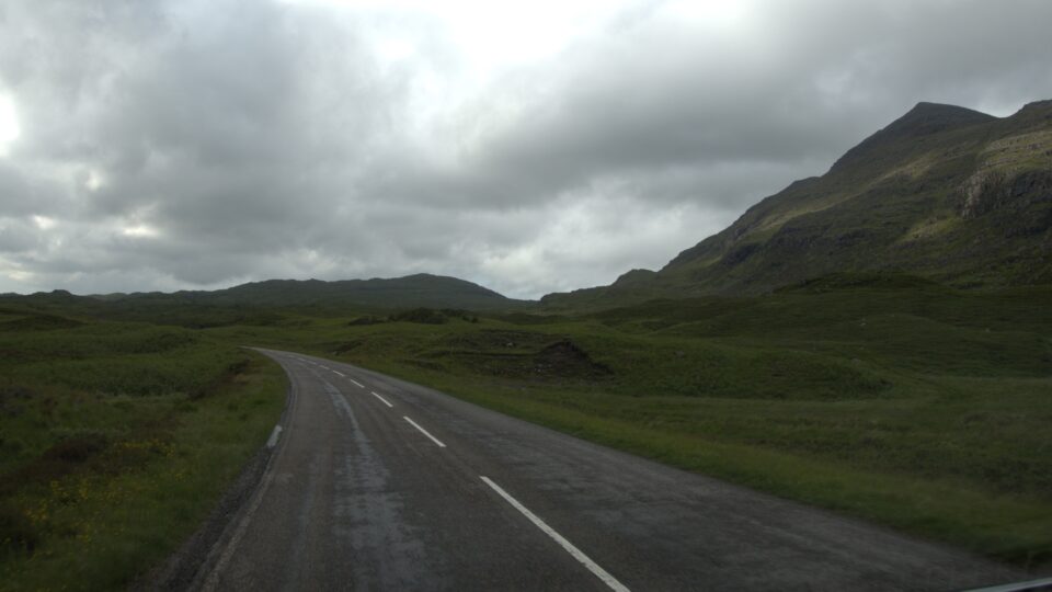
The roads we drive on in the highlands of Scotland, are numbered and usually prefixed with an A or B. A roads are usually major thoroughfares, and the B roads are secondary roads. The number that follows the A or B, also gives an indication of how large the road is. An A road followed by one digit, such as A9, is often a divided highway. An A road, followed by three digits, like A838, is a main road in the area, but because this is a remote area, then it is often narrow and occasionally one track. B roads are usually very narrow and often one track.
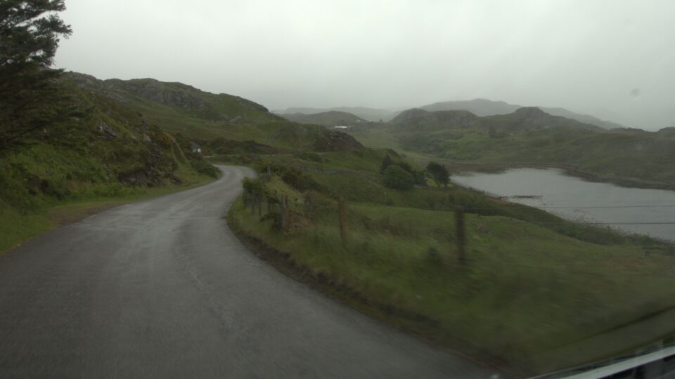
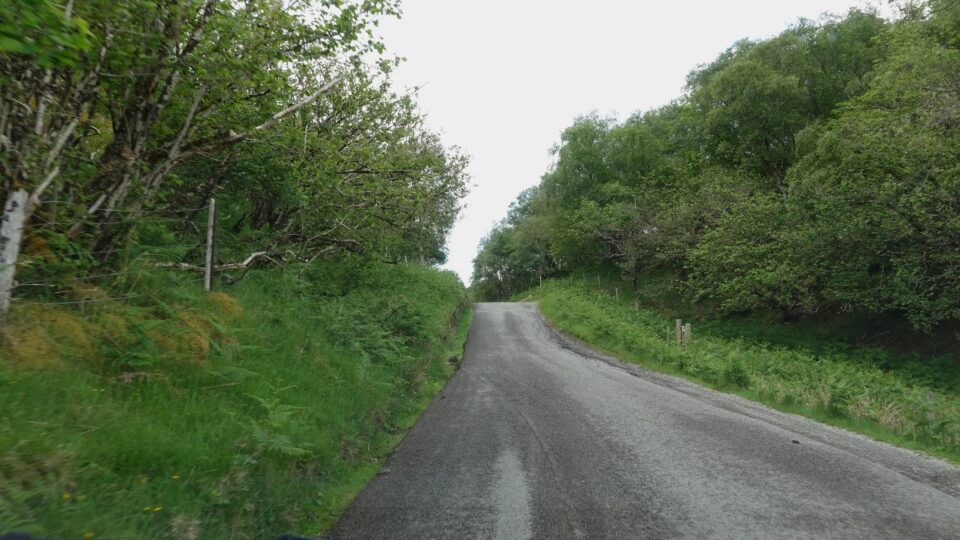
From Kinlochbervie, we were on a B road (B801) and heading towards the main road, A838, about 10 miles west. We drove on a beautiful windy narrow road, with mountain and sea views, but it was raining the hardest since we arrived in the UK – windshield wipers on high. It is very frustrating when you know the view is super beautiful, but you cannot see, nor photograph it clearly because of the weather.
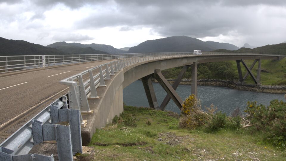
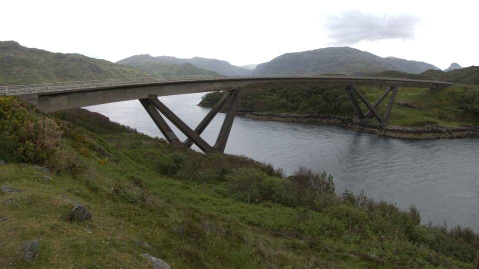
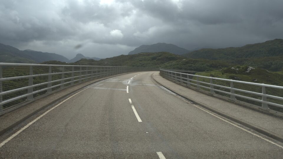
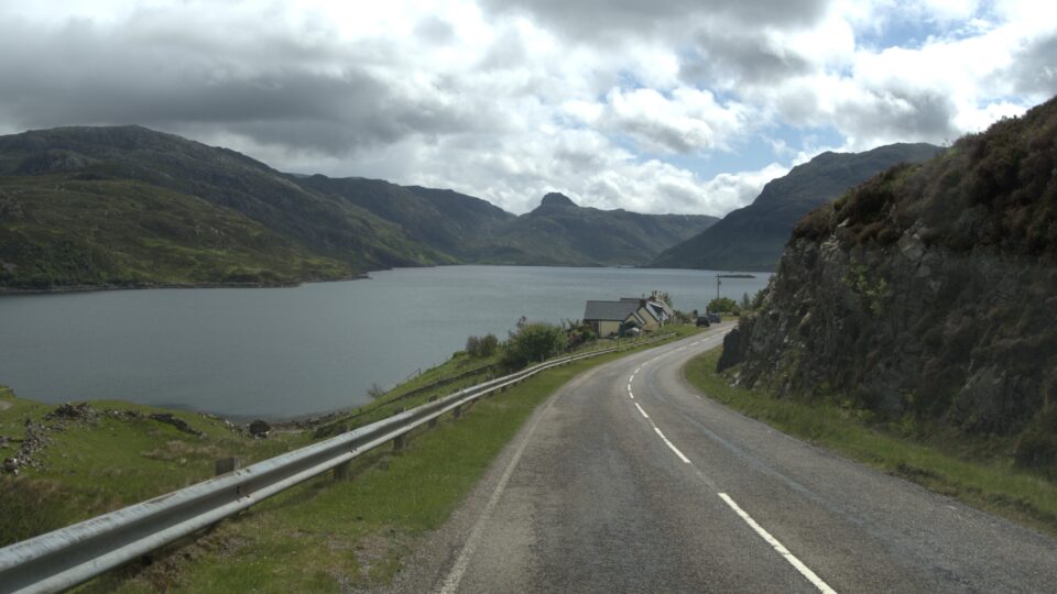
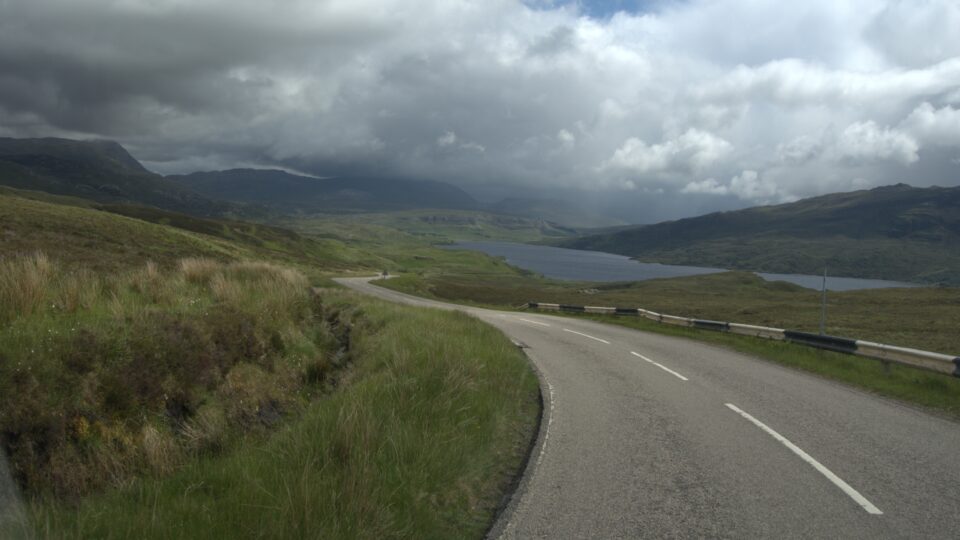
Once we reached A838, we had a spectacular ½ hour ride to our next destination – the Kylesku Bridge. As we were driving along, the rain stopped but it was still overcast.

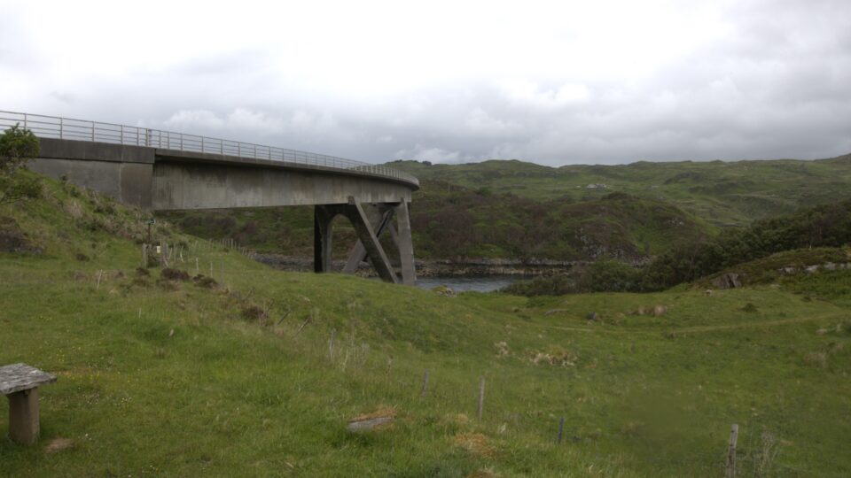
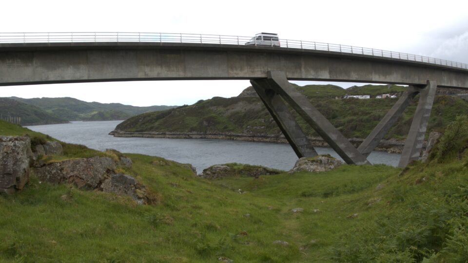
The Kylesku bridge has two viewpoints, one in the north and one at the south end. We stopped first at the north viewpoint. The small parking lot was full of other tourists. The bridge opened in 1984 and replaced a ferry crossing over the Loch a’ Chàirn Bhàin. In 2019, the curved bridge was classified by Historic Environment Scotland as a Category A structure, recognizing it as “visually striking and technically innovative”.
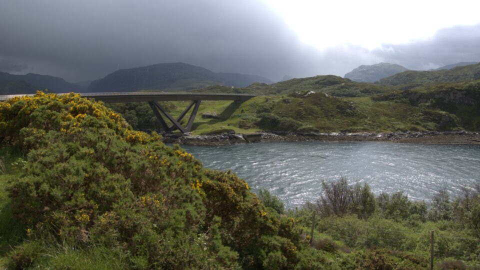
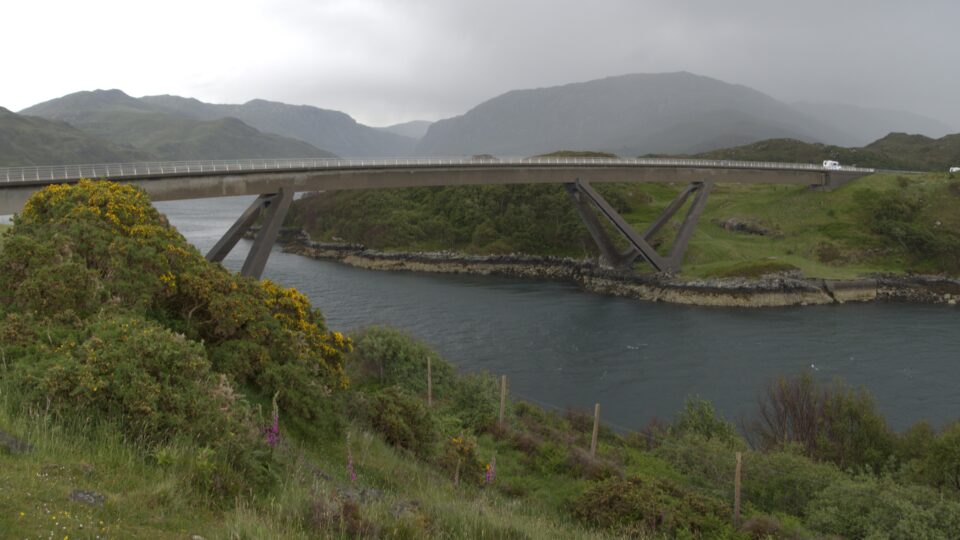
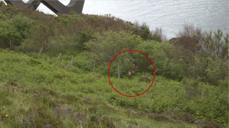
While parking, it started drizzling again. Looking at the clouds, we saw sunshine in the distance, and stayed in the motorhome waiting for it to arrive. When the drizzle stopped, we went out to photograph the bridge. A crowd was looking at a deer with large antlers eating from the bushes below. Mark said this was a rain deer.
After driving across the bridge, we stopped at the southern viewpoint. From here, the view was not as spectacular, and there was hardly anyone else there. We saw a path and took a short walk up the hill to see the wider view.

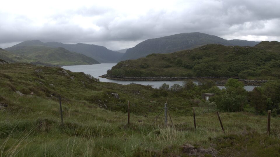
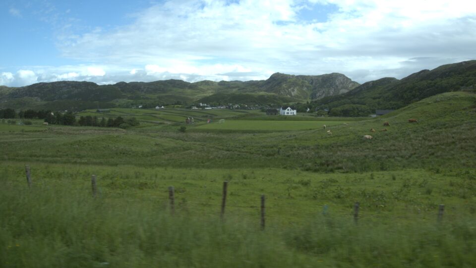
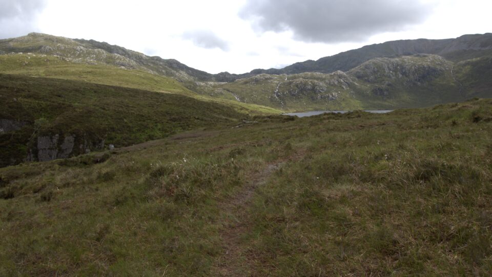
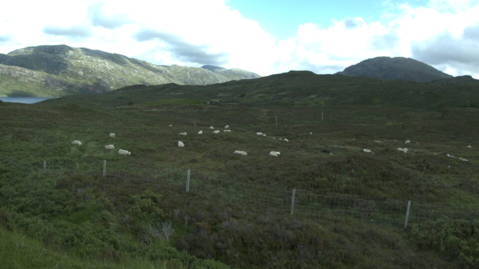
In previous blogs, I explained that the route of the NC500 is a rectangle. Yesterday we started driving south along the left side of the rectangle, about a quarter of the way down. From here, following the rectangle analogy, the route is not straight down. There are three small protrusions (peninsulas) and the route follows their shoreline. These would be like three smaller rectangles, like toes, sticking out from the lower left side of the main NC500 drive rectangle.
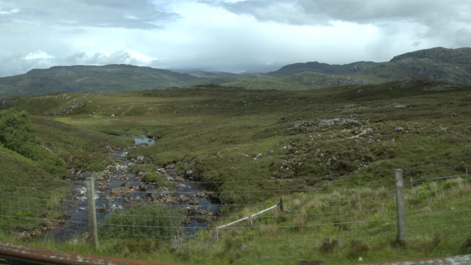
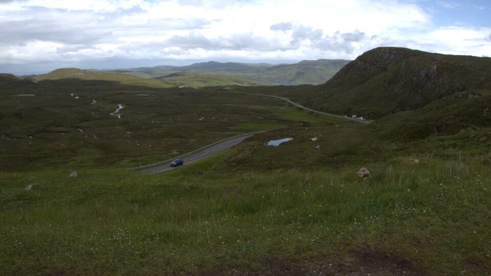
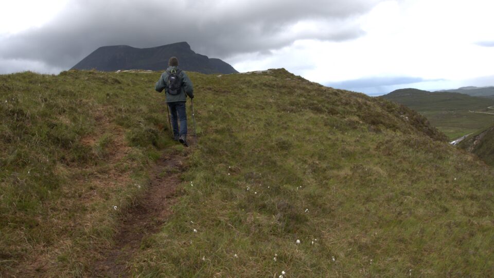
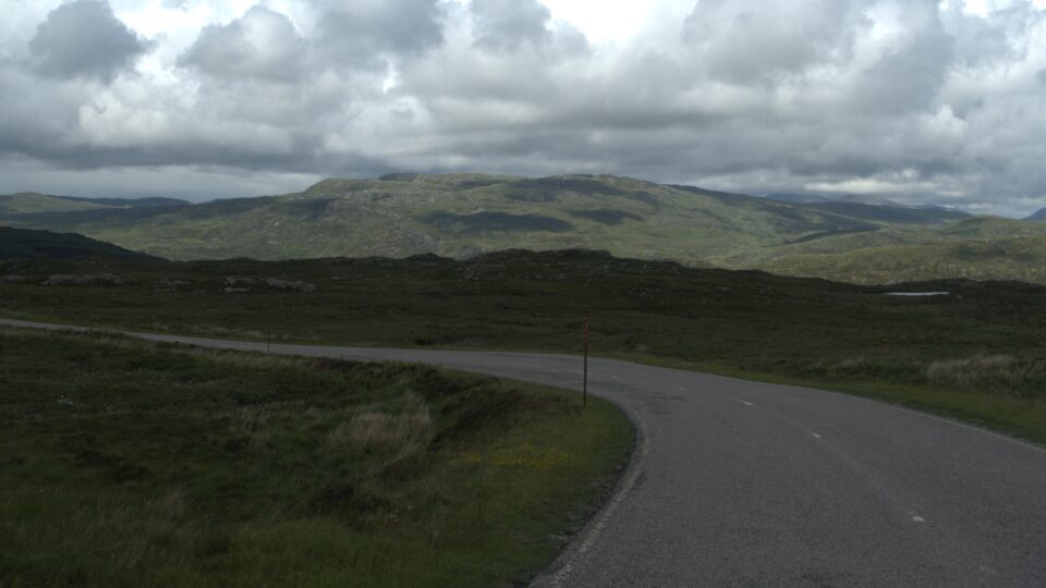
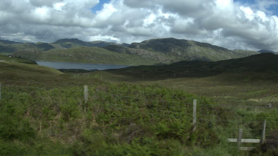
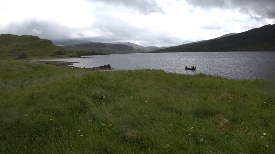
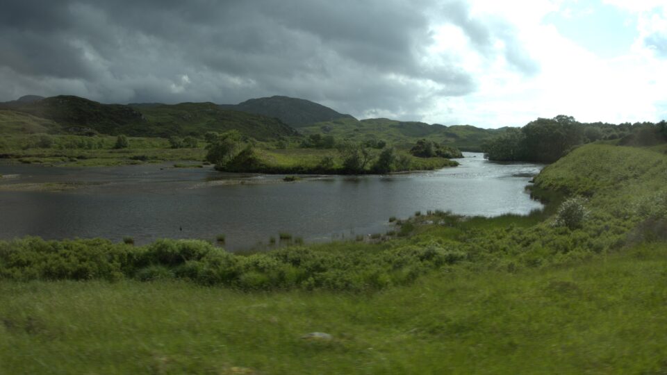
Of these three peninsulas, we could only see about half. The southernmost protrusion is supposed to include the most spectacular part of the NC500 drive, the Bealach na Bà, a winding single track road through the mountains, which is not suitable for motorhomes. We would need to skip it altogether. The northernmost protrusion, which starts a little bit beyond the Kylesku bridge is also not suitable for motorhomes, but only along its north and western sides. Instead of driving all around this peninsula, we planned to drive along its southern road back and forth, to at least see part of it. To reach this southern road, we continued our drive inland. The views continued to astound. Lots of lakes, lots of mountains.
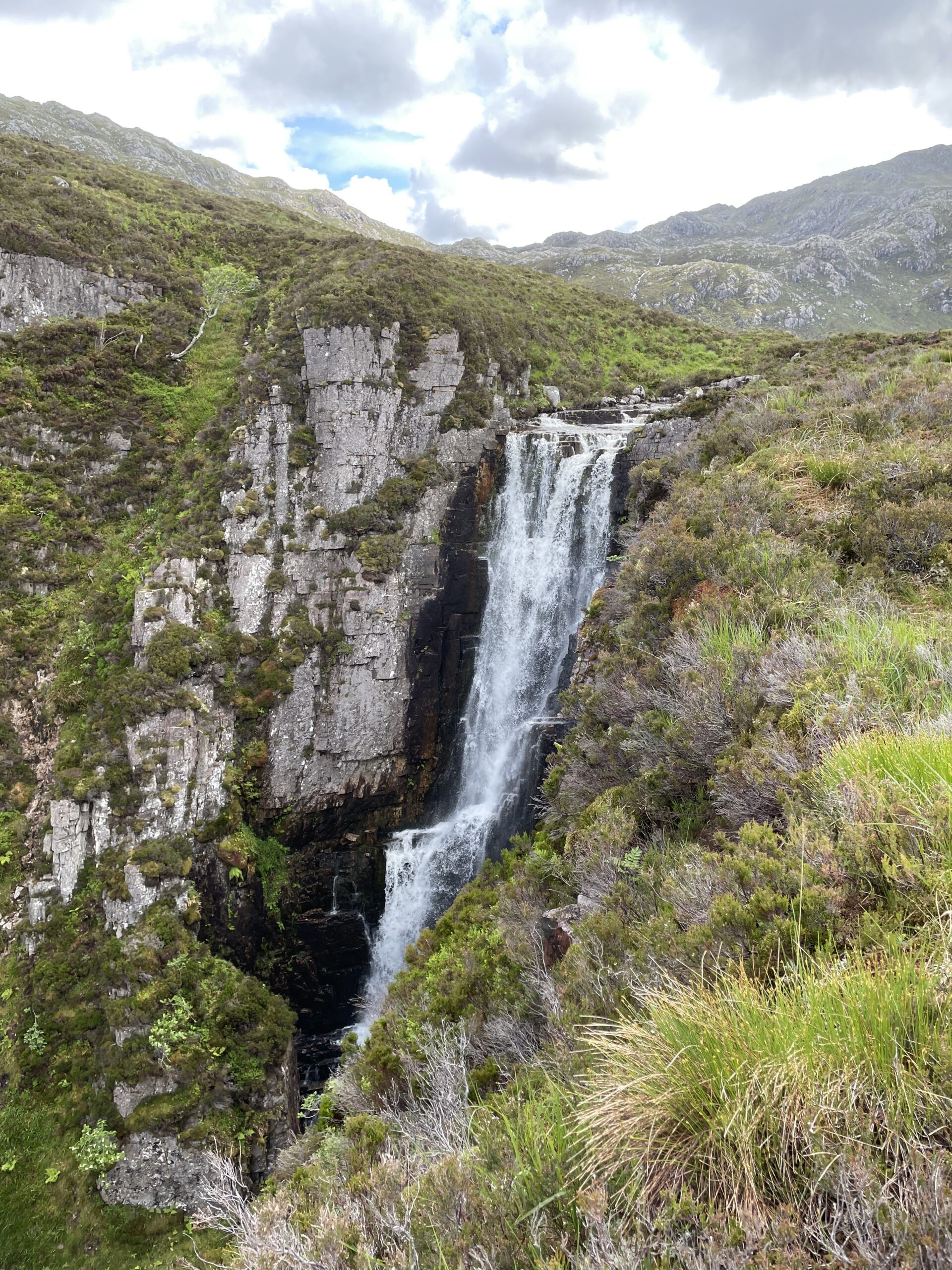
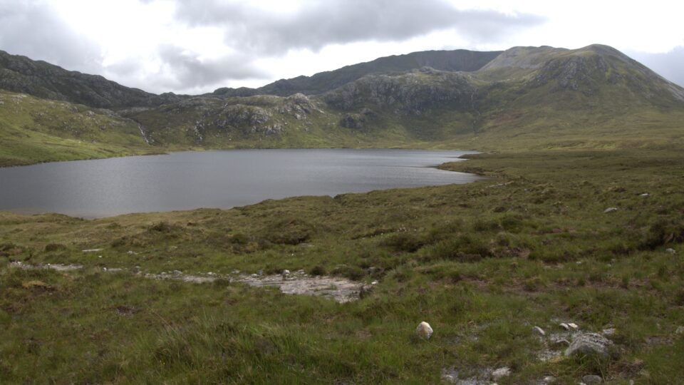
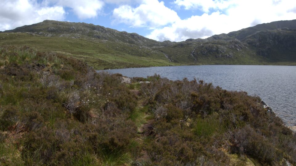
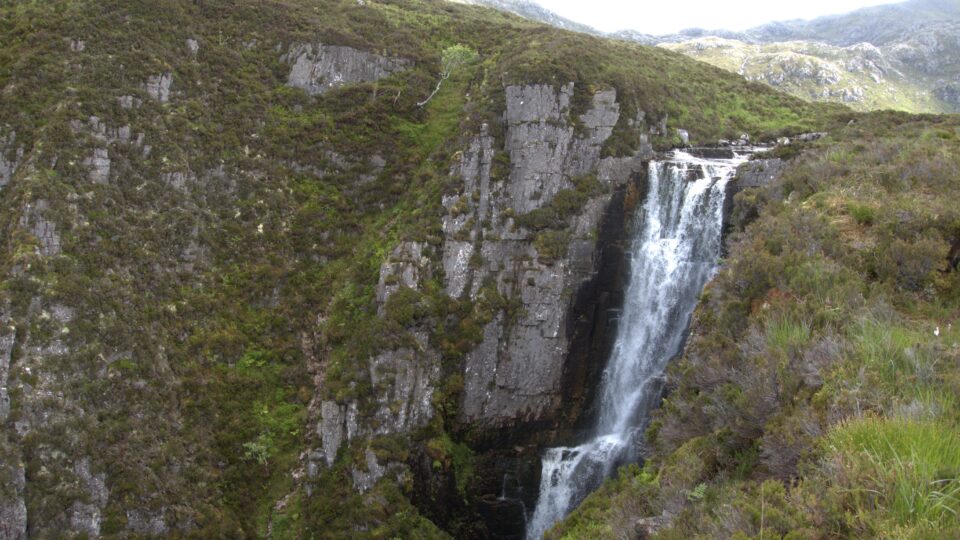
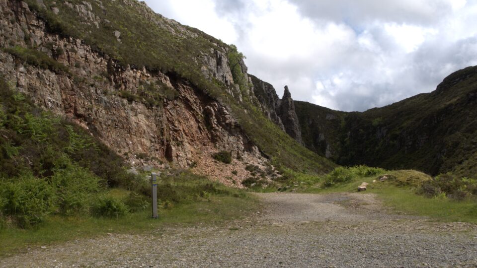
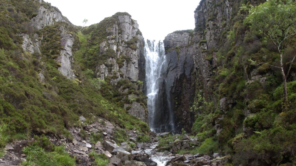
While driving inland, we stopped to see the Wailing Widow Waterfall, the highest waterfall in the UK. Near the waterfall, we saw a carpark with several motorhomes and parked there. It was not raining now, so we started the hike to the falls.
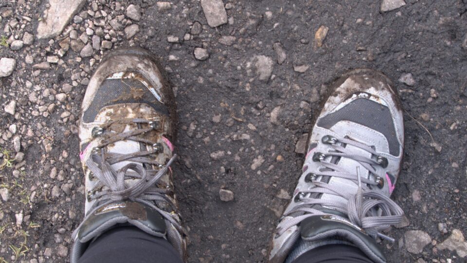
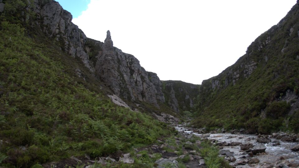
Although we had printed instructions how to reach the falls, we could not find the trail. Two young women came and had a more detailed map, so we basically followed them. There was no path, just slippery wet mud. The web site I use to plan our hikes, www.walkhighlands.co.uk, gives each of the walks a bog factor rating. This hike had a bog factor of 4 out of 5 : Underfoot conditions are likely to be very wet in parts all year round. At least I learned now that my new hiking boots really are waterproof – unless you sink so low in the mud that it comes in from the top of the shoe.
We eventually figured out that we were in the wrong place – we were at the top of the waterfall, not at the viewpoint at the bottom, where we thought we were going. We heard the falls, and finally could see the very top of them – maybe the top two meters, not the 30 meters all the way down that the water is supposed to fall. We carefully walked along the cliff until we found a view. It was very slippery and not very secure, so we did not stay long. After some more random wandering, we found a trail that returned to the carpark. While heading back, the rain started pouring. The wind was very loud and howled in our ears. It was cold. The rain pelted us so strongly, that it hurt. We were very happy to make it back to the warm motorhome.
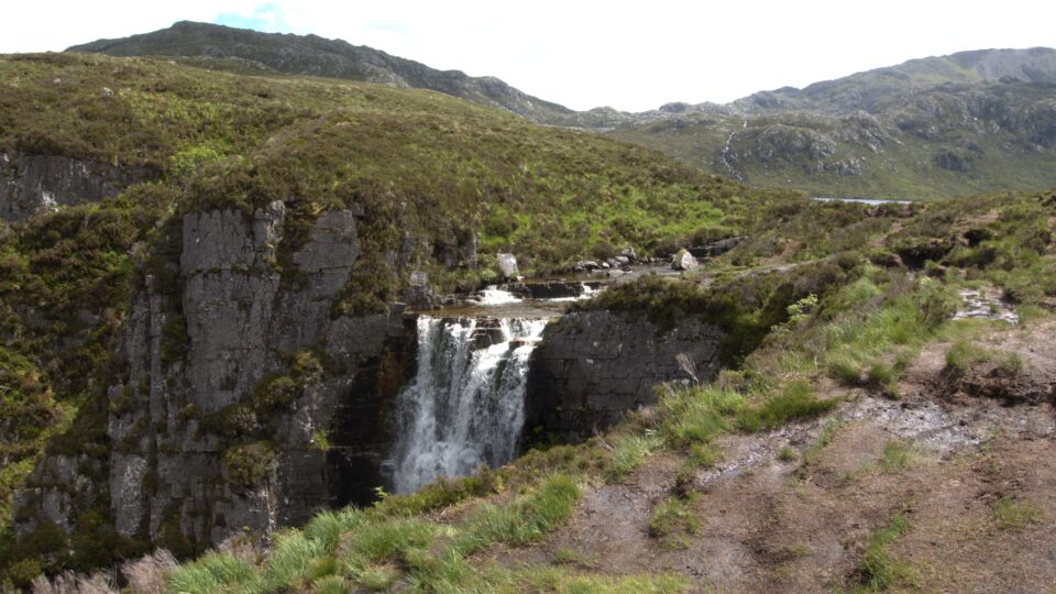
Of course, a little bit after we reached the motorhome, the sun came out. We made lunch, and decided if it is still sunny at the end of lunch, we will try to reach the bottom of the waterfall. During lunch it started raining once again. However, by the time we finished eating, the sun had returned, and we drove to a different parking area at the bottom of the hill.

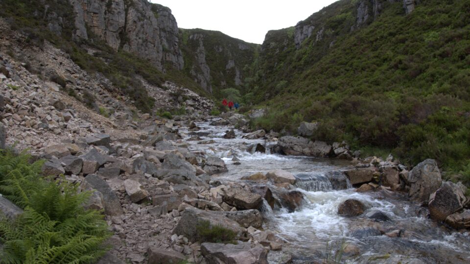
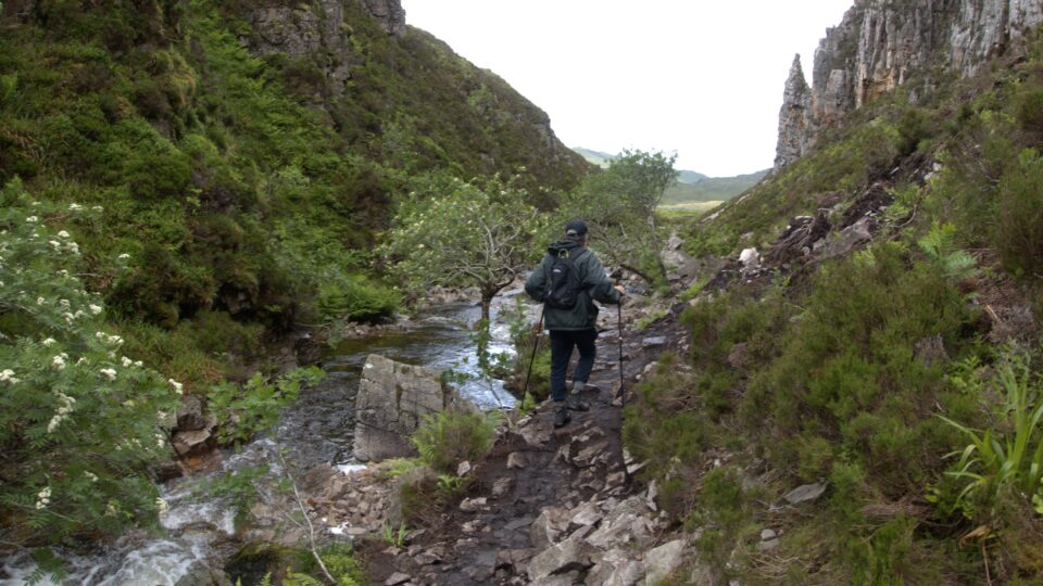
This time, the path to the waterfall was easily marked, but hard to walk – VERY slippery, muddy and full of rocks. The waterfall was only about 400 meters away, but it took a long time to get there.
On the way back to the motorhome, the rain started drizzling again, but this time not too bad.
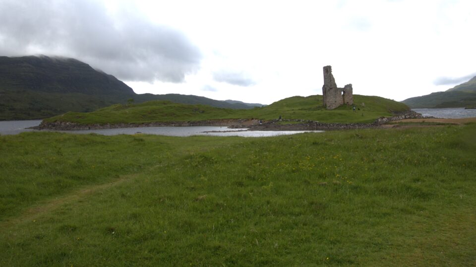
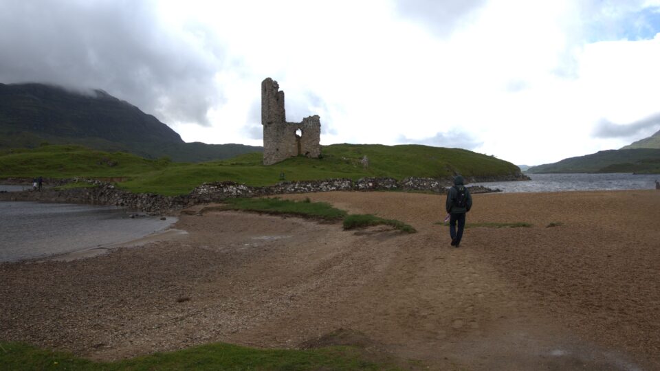
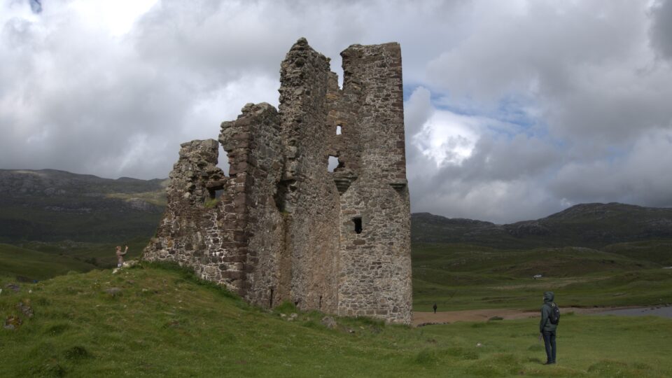
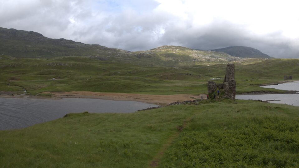
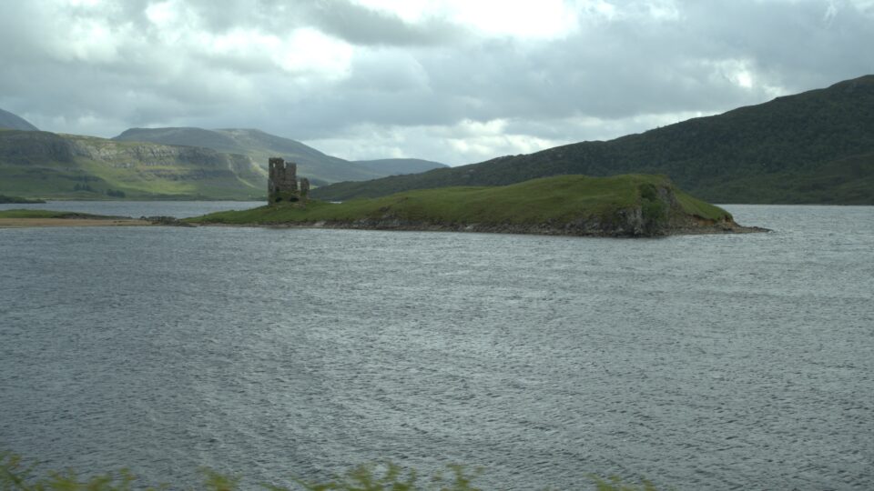
From the Wailing Widow Waterfall, we then had a short drive to our next destination – Aardvark castle. More and more beautiful views.
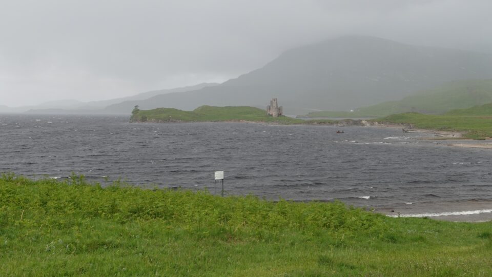
We arrived at Aardvark castle when it was not raining, but by the time we finished putting on our hiking shoes, it was once again pouring hard. By now we had learned – wait 10 minutes and it will stop. And so, it was. The rain stopped, and everyone in the parking lot came out of their cars to visit the castle.
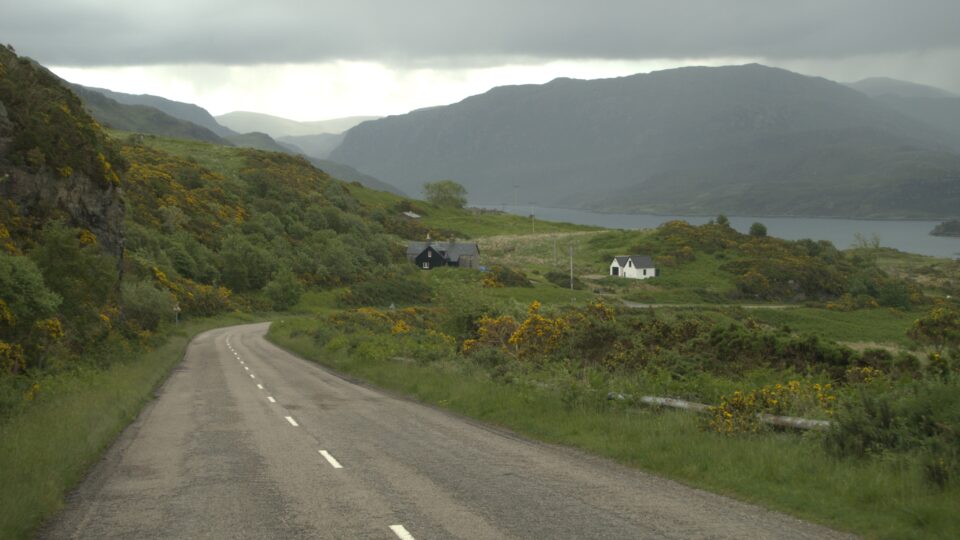
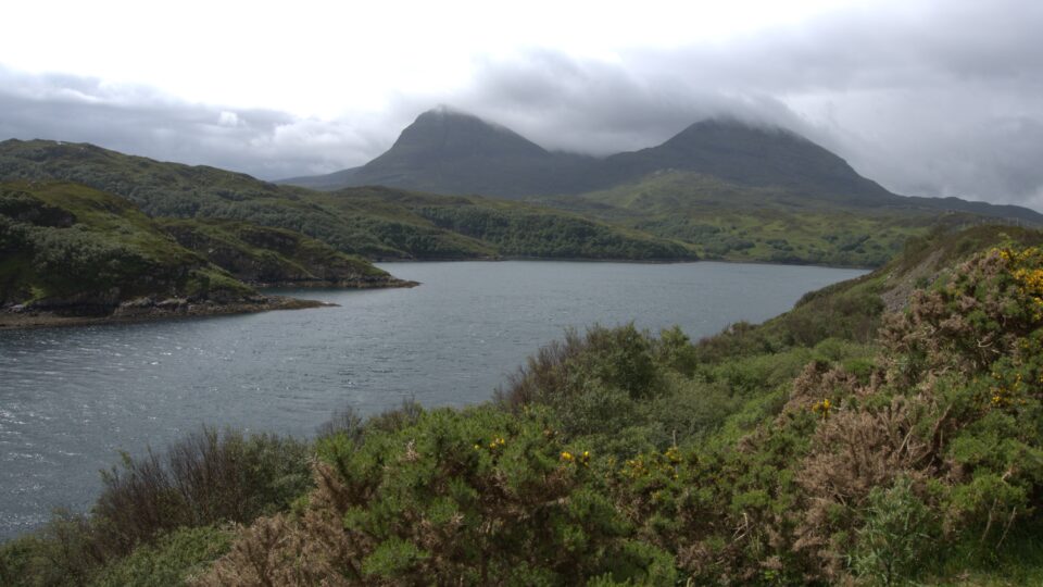
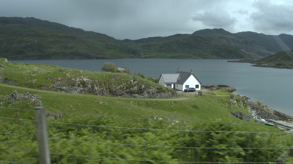
The castle was built in the 1400s and today stands in ruin. It sits on a high point of land protruding into the waters of Loch Assynt, a picture-perfect setting.
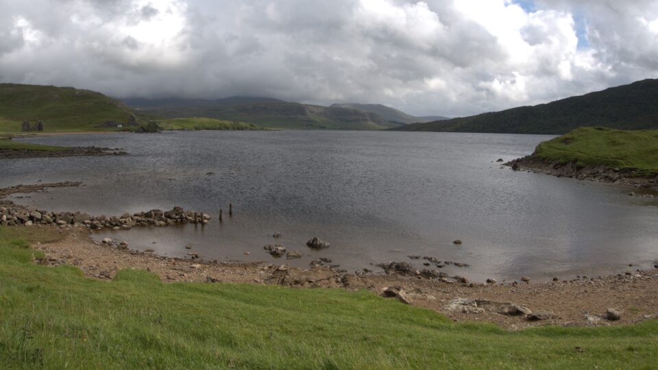
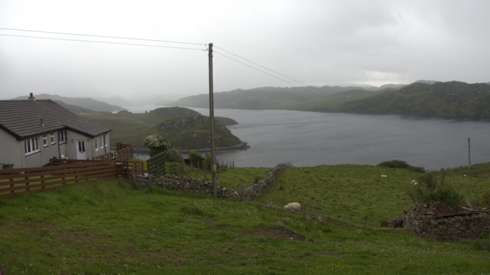
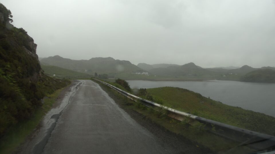
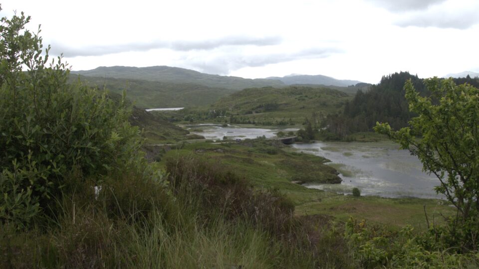
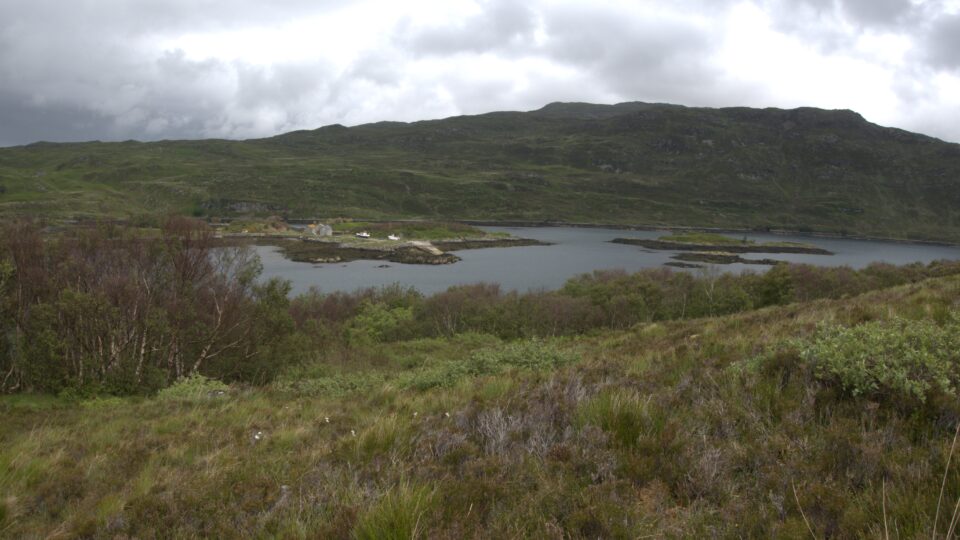
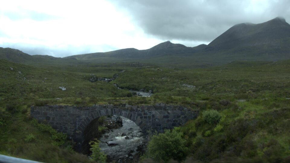
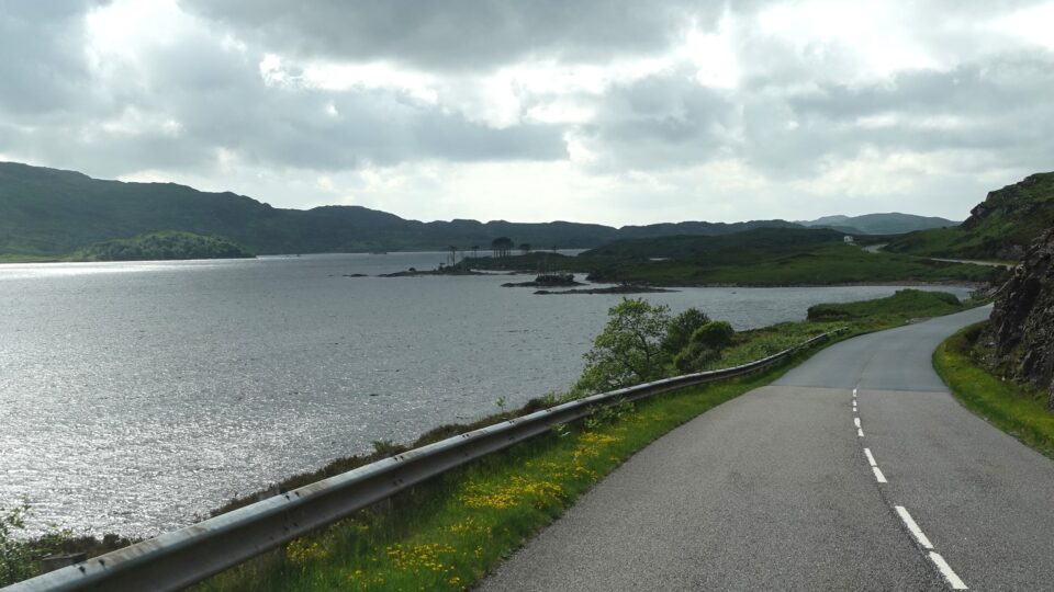
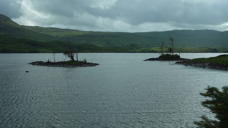
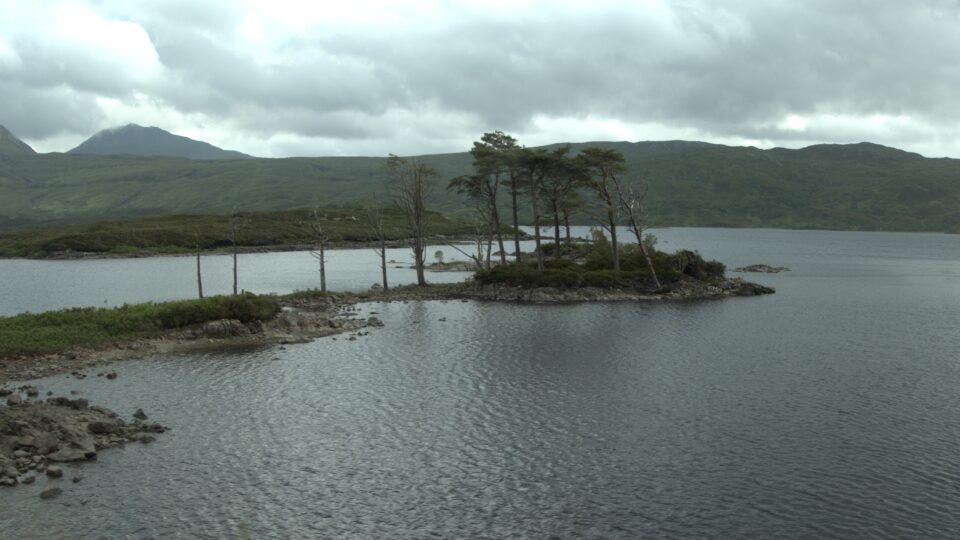
From the castle we had a ½ hour ride along the southern road of the peninsula, to our campground for the night. The first part of the drive was along Loch Assynt, full of small islands with trees. After a while, we hardly saw the loch. This area, unlike where we had been yesterday, was full of trees. The road was lined on both sides and all you saw were the trees.
The last two miles to reach the campground were tough – a very narrow, winding one-track road, with the trees preventing you from seeing if anyone was coming in the opposite direction. There was a cliff on one side of the road and the passing places were not very wide. At one point we needed to pass another motorhome – not easy. If this was the part of the peninsula road that was suitable for motorhomes, it made me glad we did not attempt to drive the unsuitable roads.
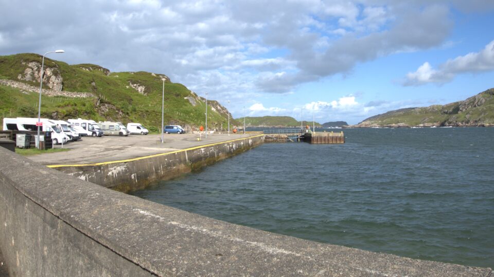
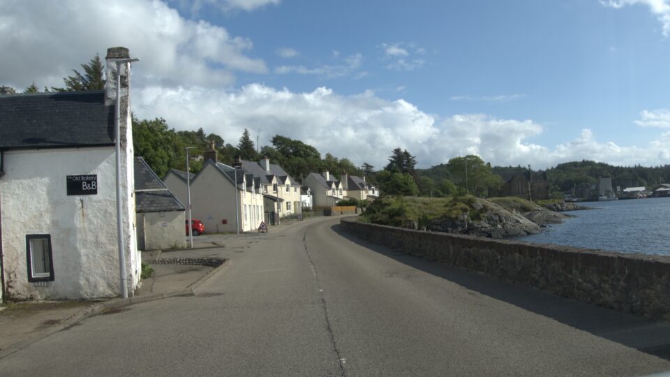
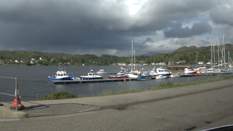
We missed the turnoff to the final road to the campground, and ended up in Lochinver, a small fishing village.
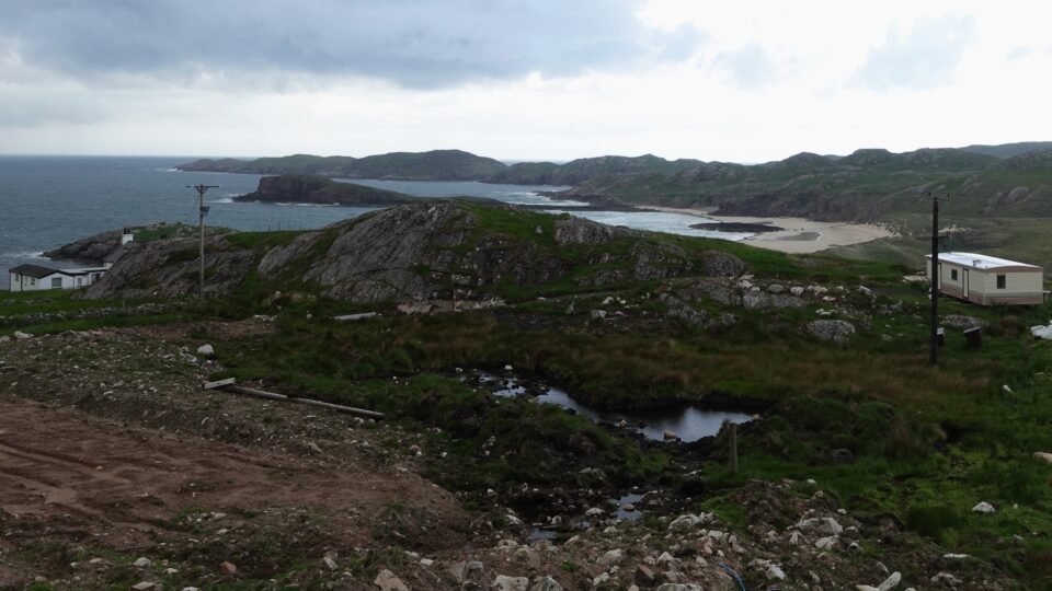
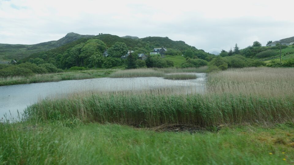
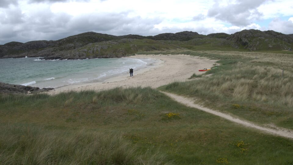
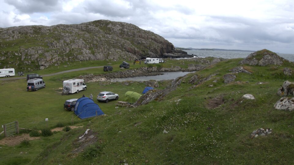
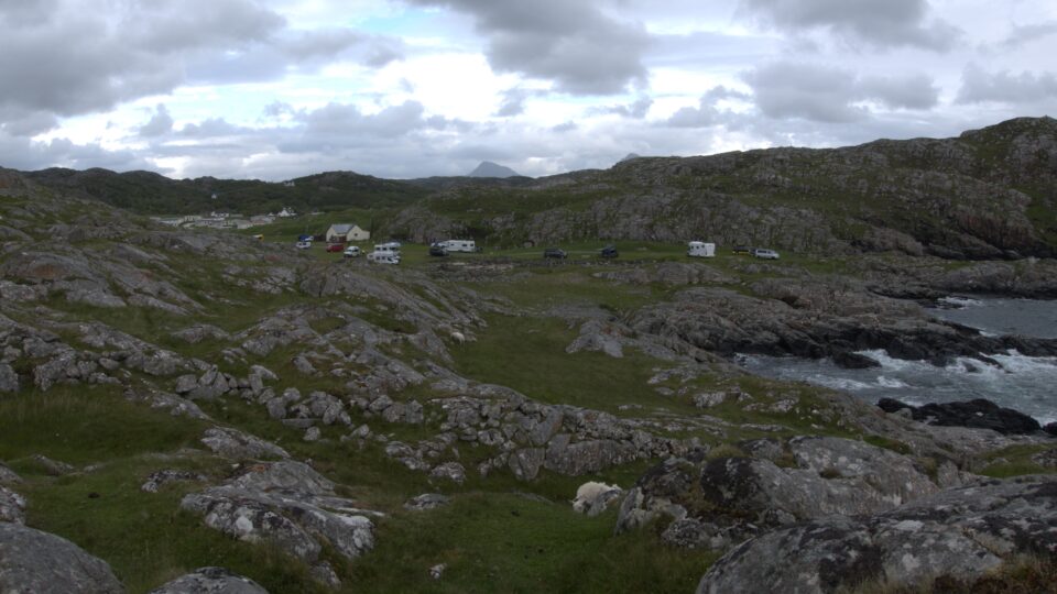
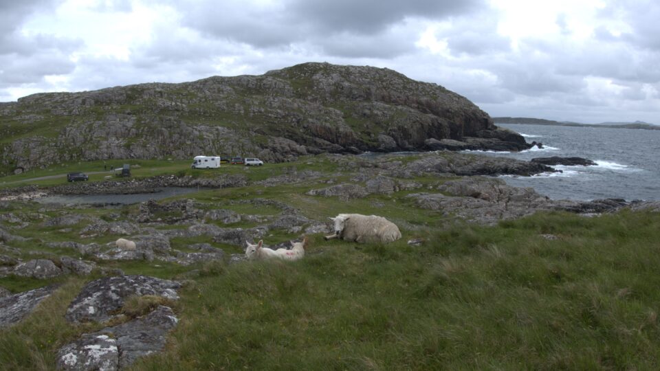
We finally reached the campground, and it was gorgeous. On one side was the rocky shore of the Atlantic Ocean, and on the other side, Achmelvich Beach, a stunning white sand beach.
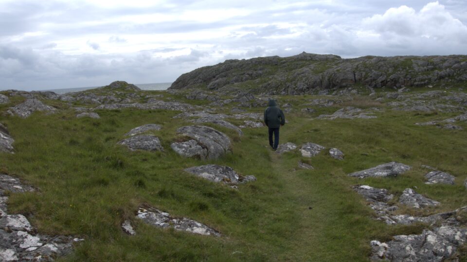
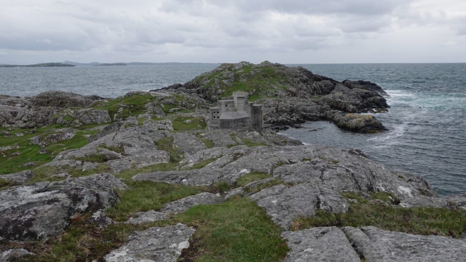
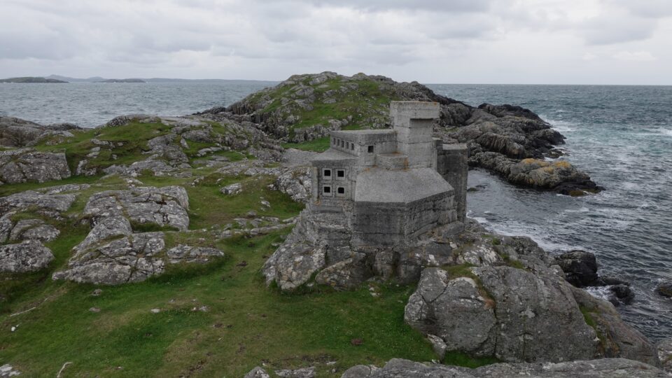
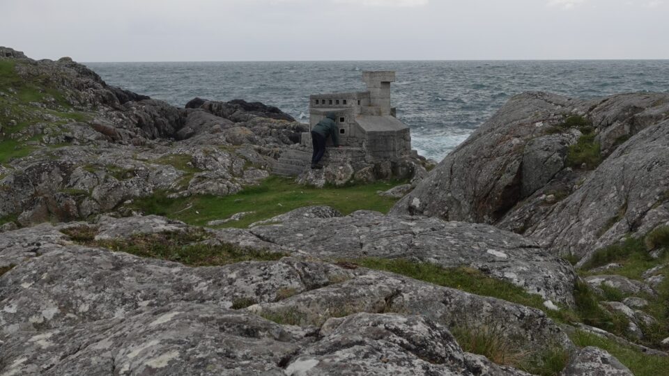
From the campground, there is supposed to be a trail to the Hermit’s Castle, a small building from the 1950’s. It was built over a 6-month period as a weekend getaway by David Scott, but not used. It has a tiny single room. A bit mysterious and strange.
We had a map of the trail to the castle but could not figure out where to start. We asked at the campground office and got basic directions. The campground worker also said, it is less than 15 minutes away, so if after 15 minutes we have not found it, we went the wrong way. Half an hour later we were still looking and finally saw it in the distance towards the campground – we had overshot it.
Earlier, when we arrived at this campground, next to the registration office, many people were waiting around. Turns out there is a fish and chips take out stand on site. Once you order, they start to make it and you wait until it is ready. We ordered a serving for me, and while waiting, 10 more people showed up. A very popular place in the middle of nowhere.
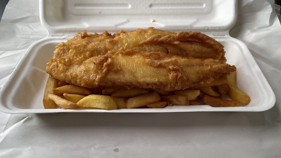
The fish was absolutely delicious – fresh and crispy. It was made with haddock, a white fish unavailable in Israel.
As I ate my dinner, the rain started again. For an on and off rainy day, we had seen a lot today.
We saw the second highest waterfall in Switzerland today and it’s 20 times longer 😀
Beautiful even when it’s overcast