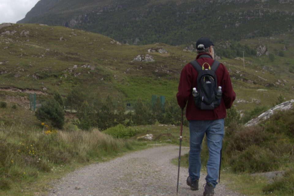
JUNE 6, 2024: Today is our last day on the NC500. We plan to finish driving around the second peninsula on the west coast and then drive only inland on the third peninsula, whose coastal roads are not suitable for motorhomes. When we reach the southwest corner of the NC500, to complete the route, we would need to turn east and return to Inverness, where the route started. However, instead of driving this last, mostly unremarkable, part of the NC500, we will continue south towards the Isle of Skye, an island in the Inner Hebrides.
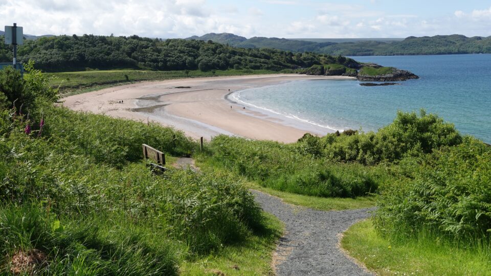
We woke up in an almost empty campground in Gruinard Bay. In front of us was a beautiful inlet. A group of seagulls was enjoying themselves riding the waves. We had a few minutes of sunshine, then light rain, then sunshine, then rain and so on. It was starting to sink in that most of our days in Scotland would be like this.
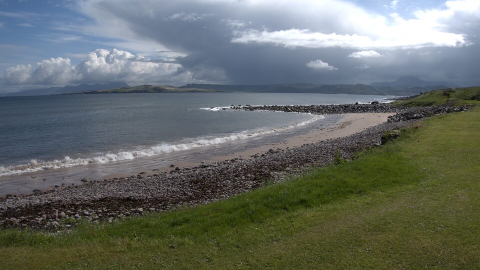
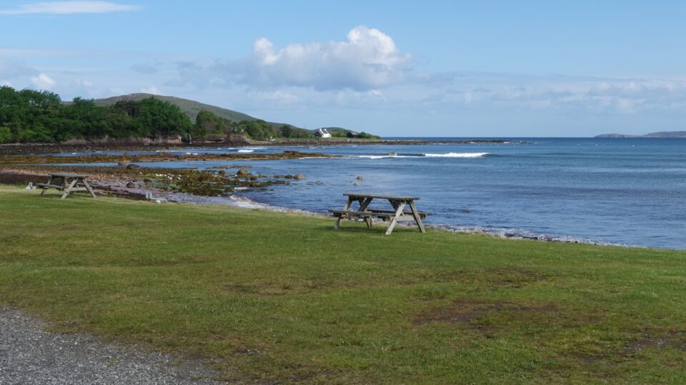
We started our drive along the coastline towards our first destination – the Beinne Eighe Nature Reserve, the oldest National Nature Reserve in the UK.
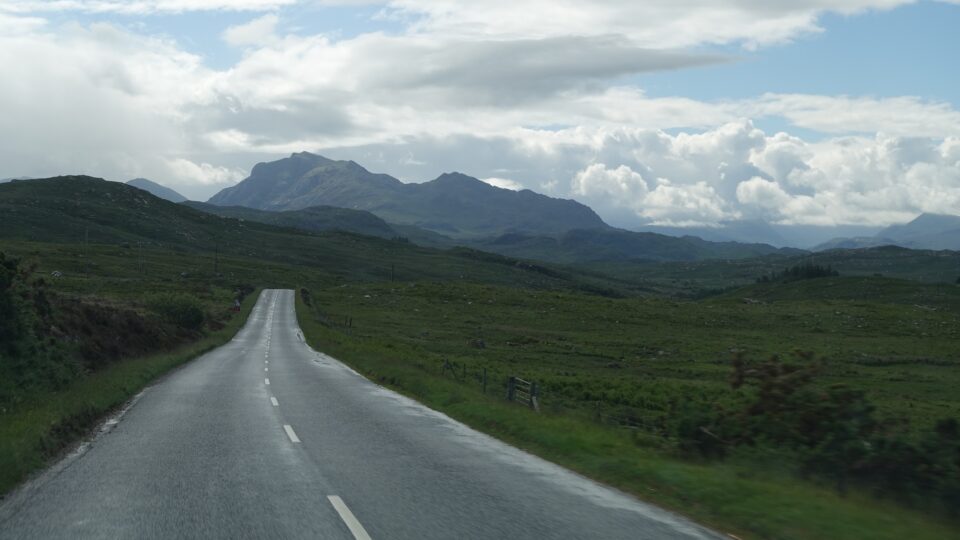
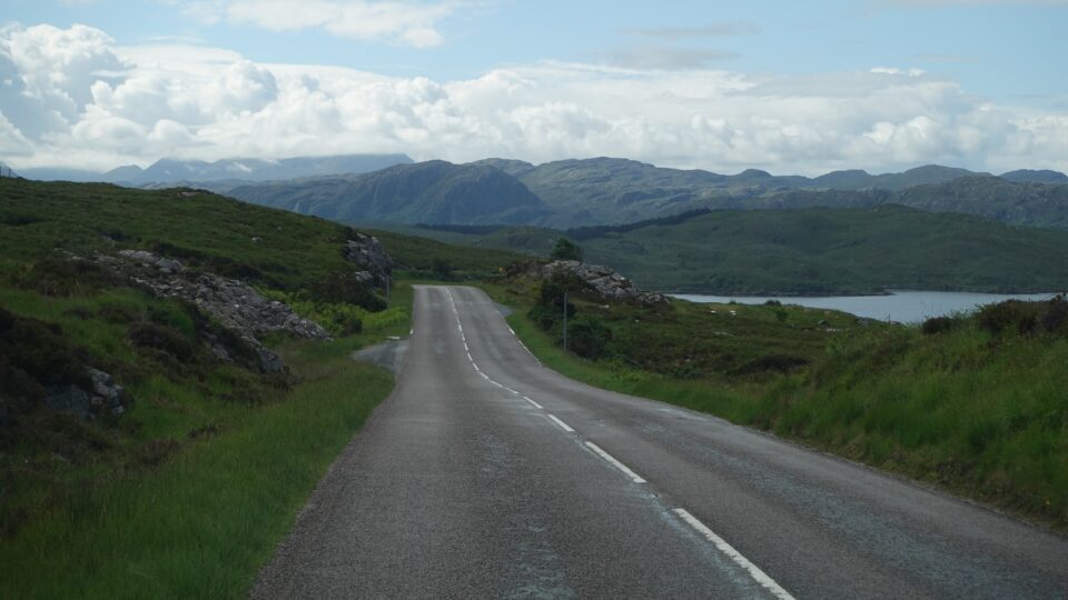
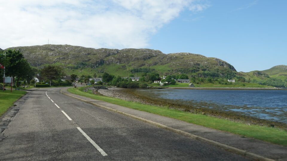
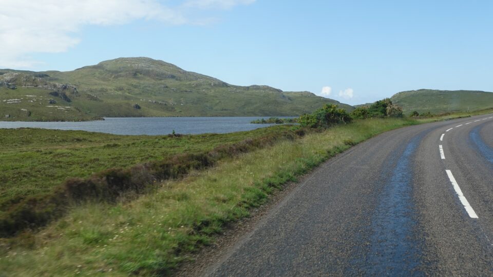
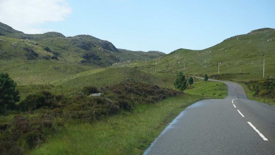
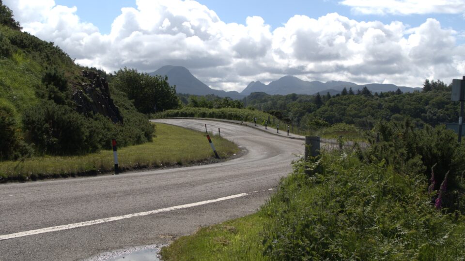
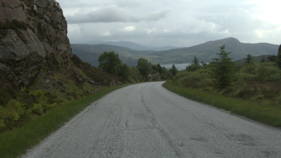
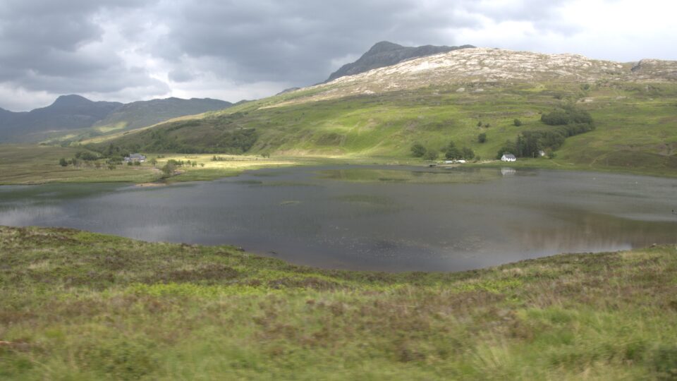
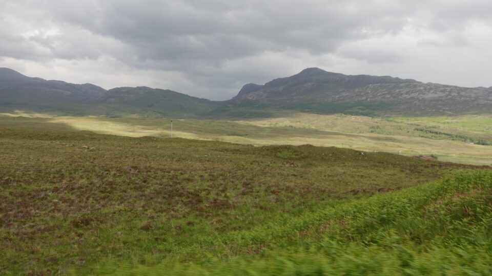
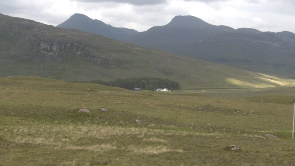
Like on the previous days, the drive was beautiful.
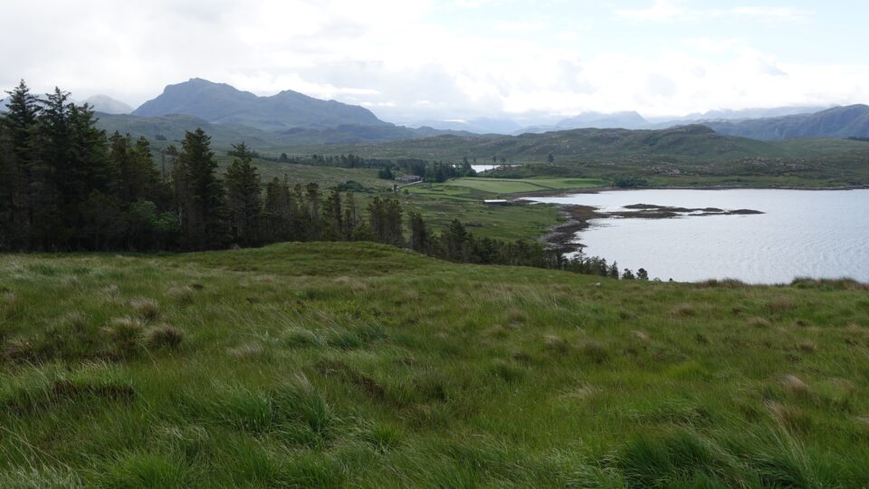
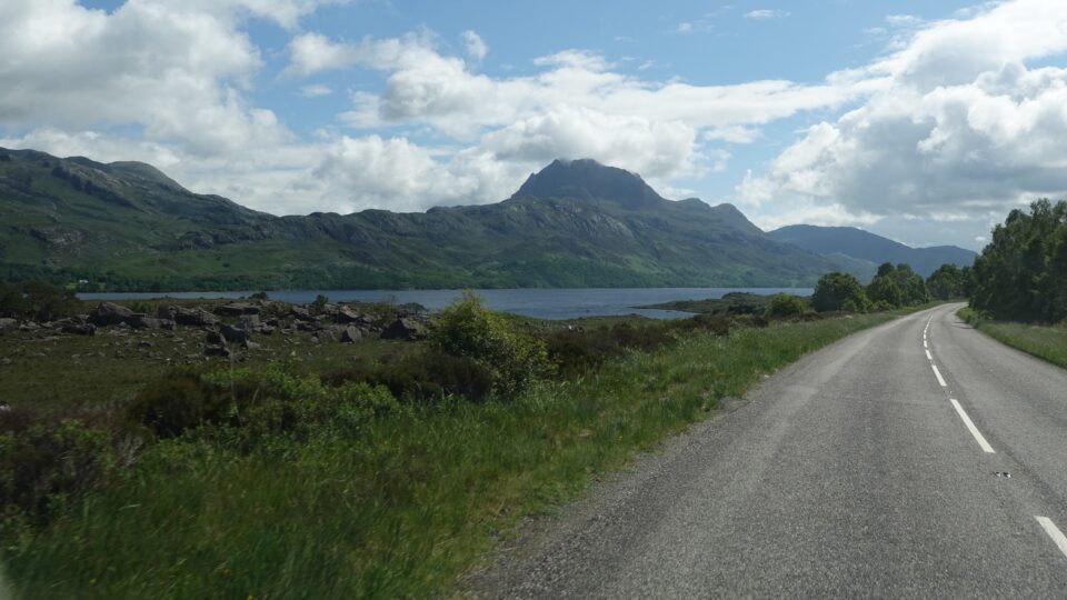
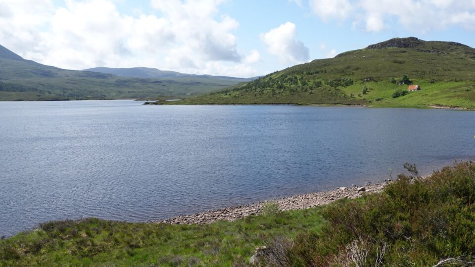
At Beinne Eighe, we wanted to do the Woodland Trail, a popular trail with viewpoints of Loch Maree, considered by some to be the most beautiful loch (the Scottish word for lake or sea inlet) in all of Scotland. When we reached the parking lot at the start of the hike, the entrance sign said it was not suitable for coaches and caravans. Does this also mean motorhomes?
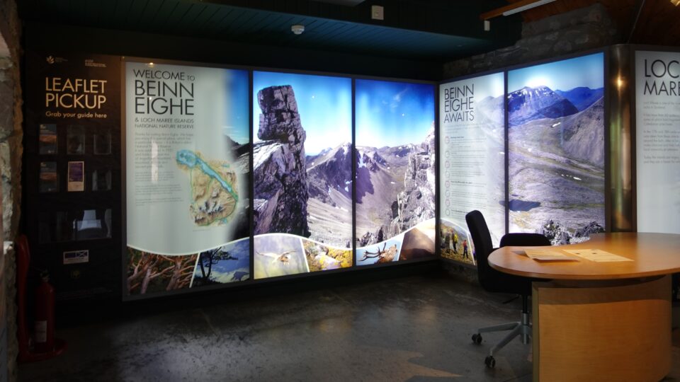
There was a visitor center a mile down the road, and we decided to go there and ask. The visitor center had a beautiful and detailed display about the area, but there was no one to talk to. It was unmanned. No ranger on site. There were, however, leaflets with maps of trails in the area, including some that started from the visitor center. One of the trails, the Buzzard trail, climbed up on the mountain behind the visitor center to a scenic viewpoint. That sounded good and we decided to forgo the Woodland Trail and do this instead.
Before going on the hike, we looked at the displays in the visitor center. One sign warned: Be prepared to get wet – it rains here one out of two days. So far, we were feeling it is like that for all of Scotland, not just here.
As we hiked the Buzzard trail, and enjoyed the view, we felt lucky that for now the sun was out.
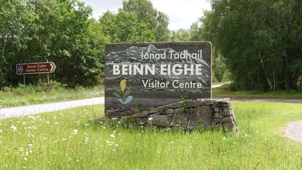
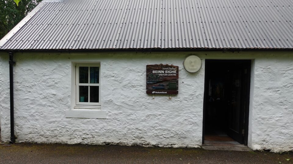
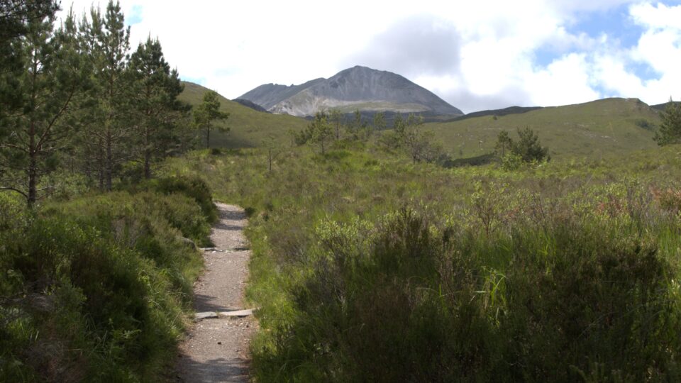
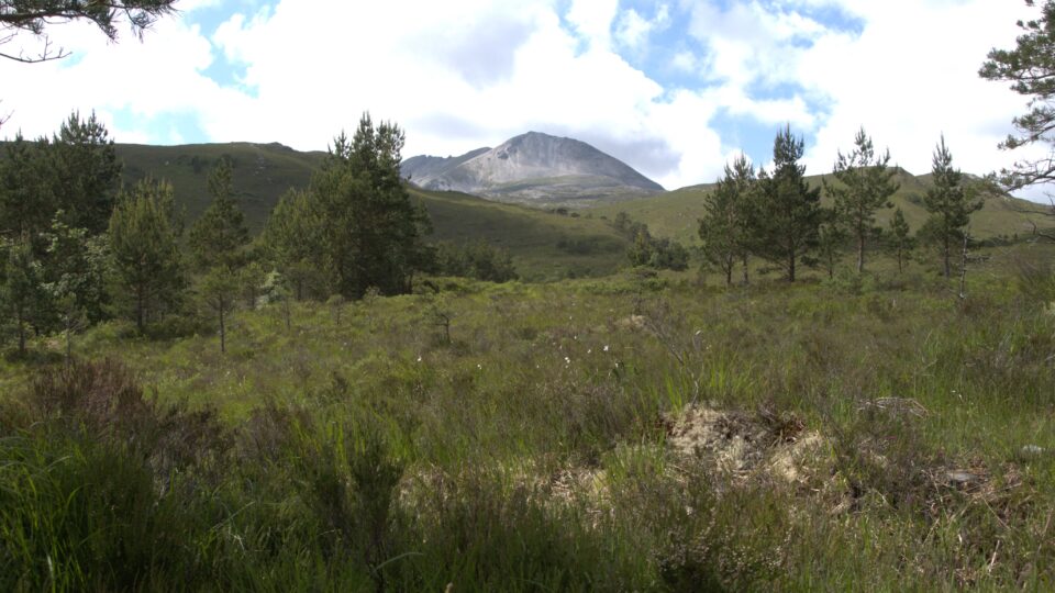
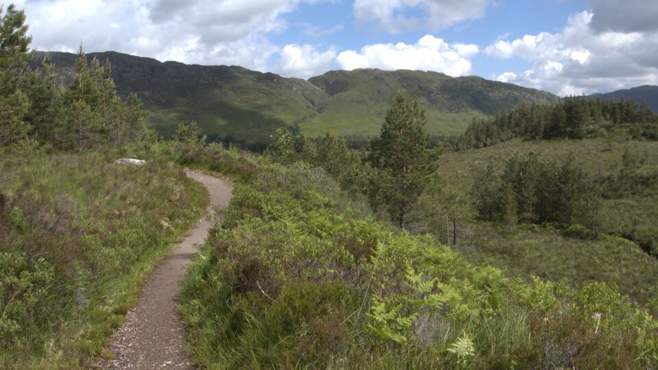
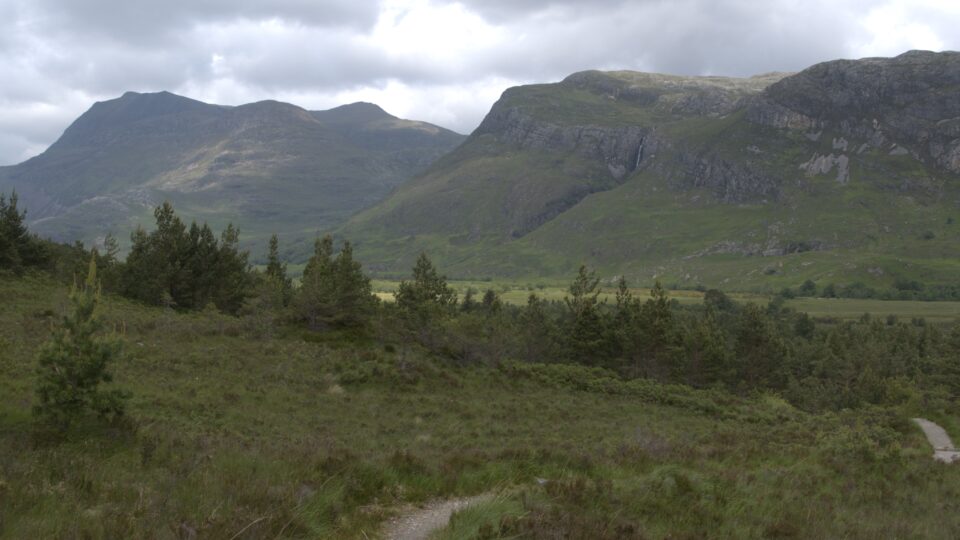
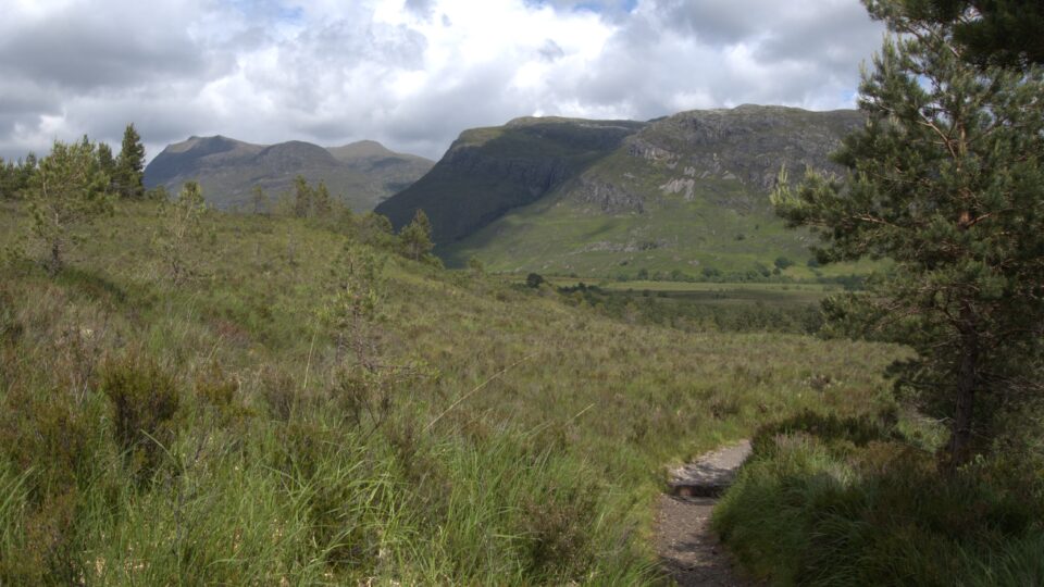
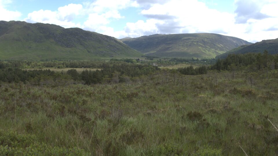
Our next stop was a quick visit to the Glen Docherty Viewpoint, which has a gorgeous view of Loch Maree in the distance. I had read that this was a good place to fly a drone, but when we got there it was so windy, we gave up on the idea.
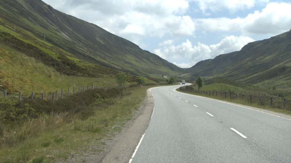
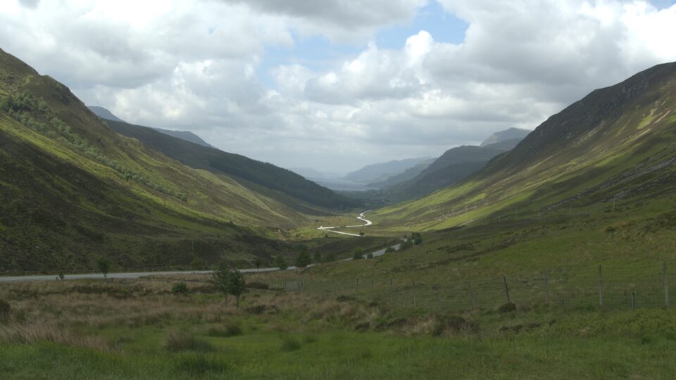
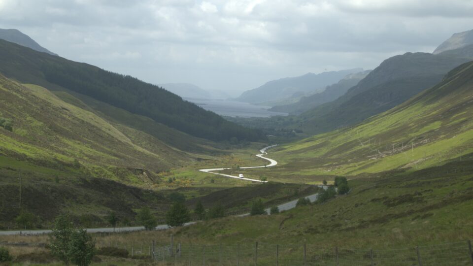
After the viewpoint, we headed to Shieldag, driving on a narrow one-track road through a magnificent valley.
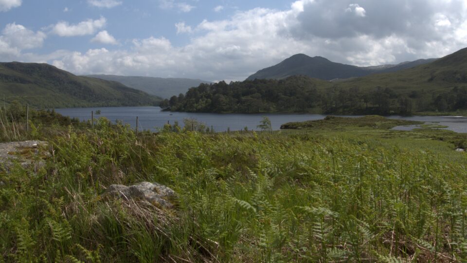
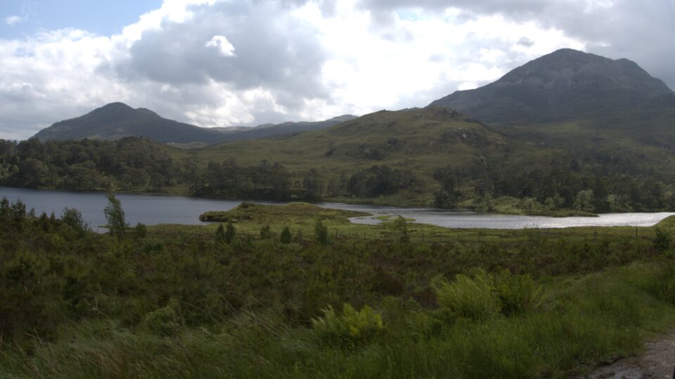
A car came in the opposite direction and as usual, we stopped in a passing place to let him drive by. Instead of driving by, the driver stopped and asked us to pull over even further and wait. A large lorry was coming. He continued on his way to warn additional drivers and we waited, wondering if this was legit or not. We waited and waited a bit more. Then the lorry arrived – driving backwards and carrying a large, wide prefab house.
We quickly folded in our mirrors, and slowly, slowly he passed us with barely an inch to spare. He told us that he had been told that the road was no problem, but whoever had said that forgot about the cattle grating ahead. Cows and sheep roam freely here, and every once in a while, there is a fence perpendicular to both sides of the road, with a cattle grating across the road, to keep the animals from wandering further. About a half-mile ahead, the cattle grating was so narrow that the lorry could not fit through the fence, nor could he turn around. He would need to drive in reverse to the nearest intersection about four miles back, avoiding the traffic in both directions. Brave man.
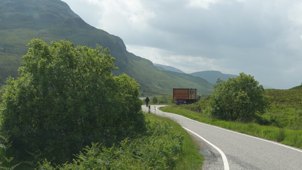
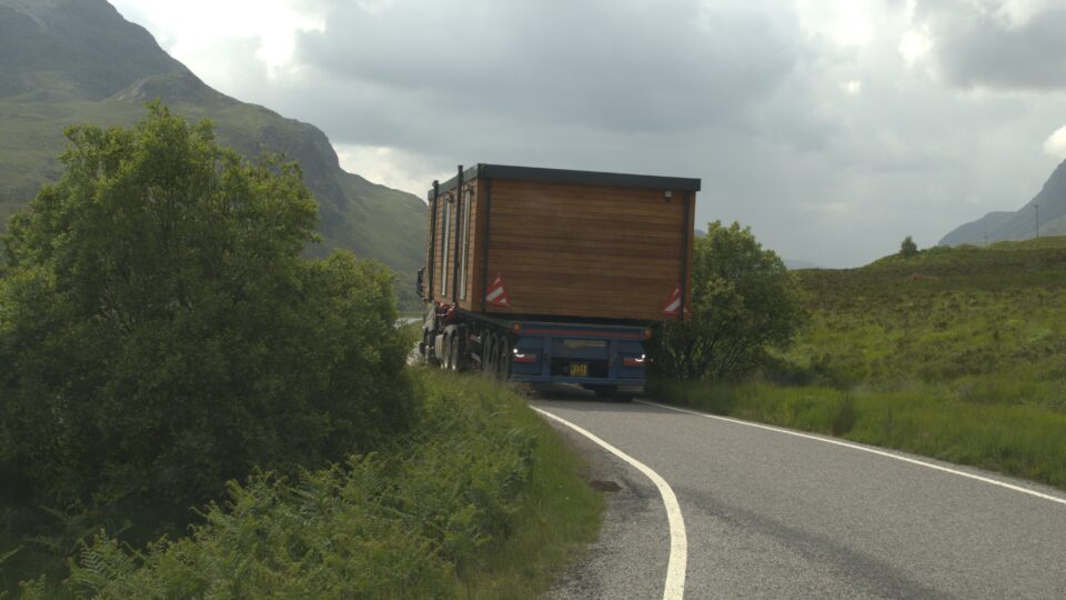
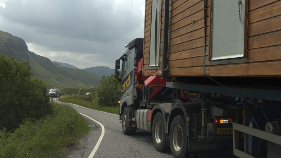
Once the lorry passed, we breathed a big sigh of relief and continued onward.
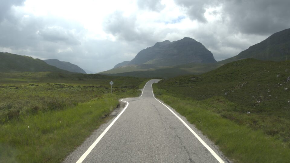
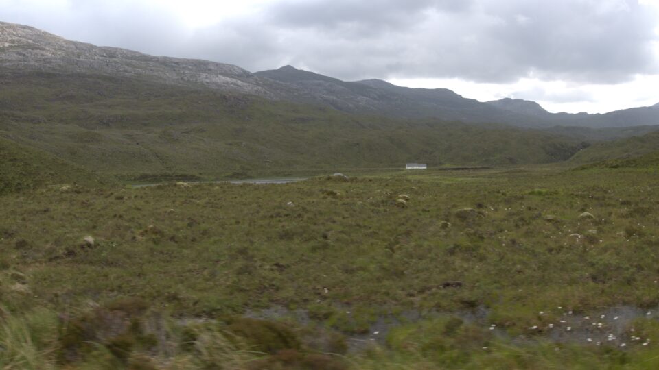
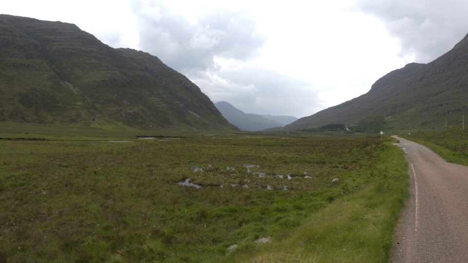

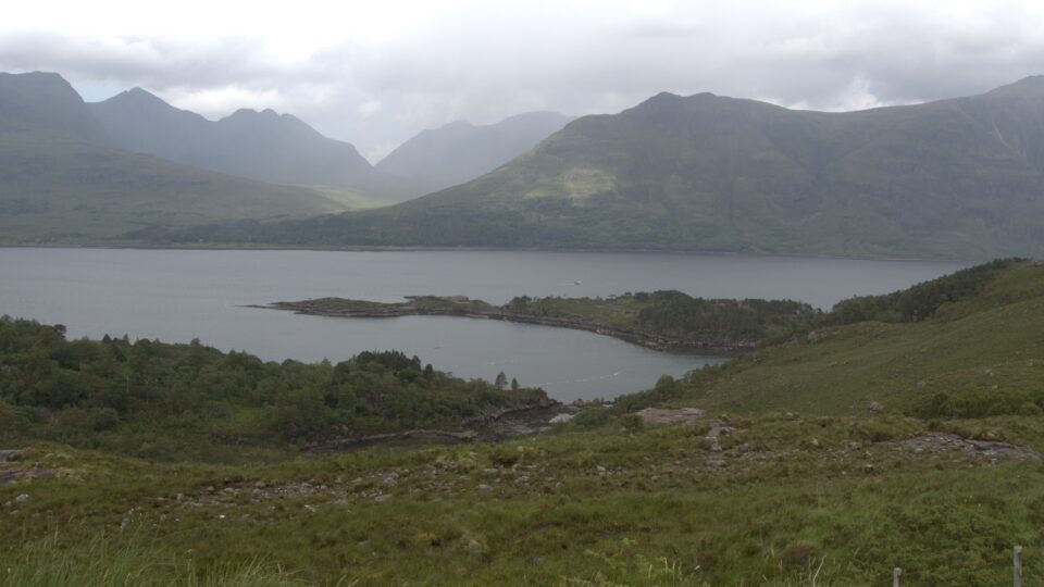
Driving today had been slow, and we arrived at Shieldag only after 3:00. We had planned to do a hike around the Shieldag peninsula, but there was not enough time. Our campsite for the night only accepts arrivals till 18:00 in the evening, and we still had a castle to visit and more than an hour of driving to go. Instead, we just did only the first couple of kilometers of the walk in Shieldag and returned to the motorhome to continue driving.
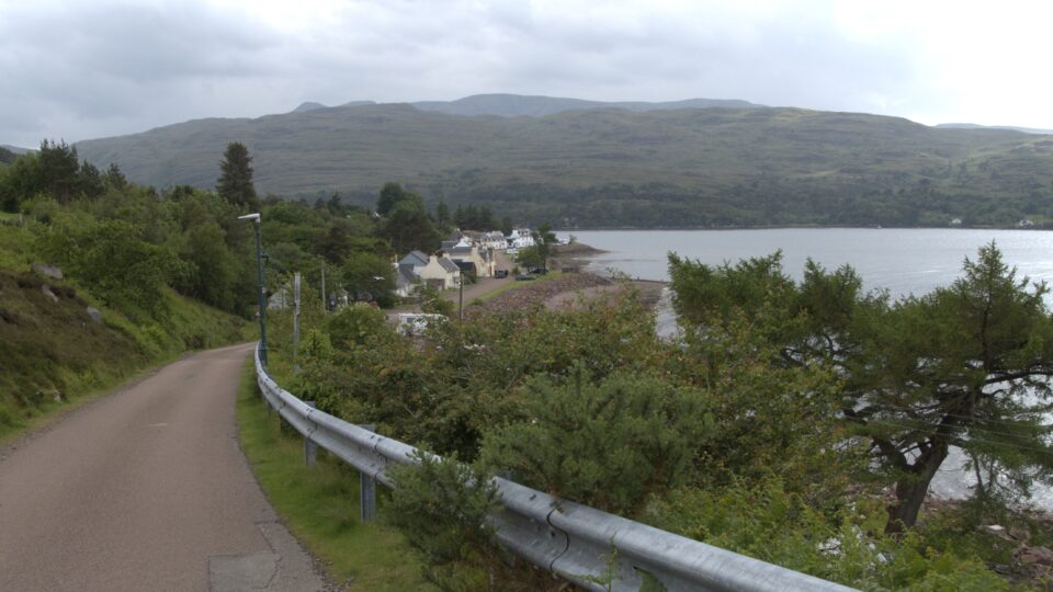
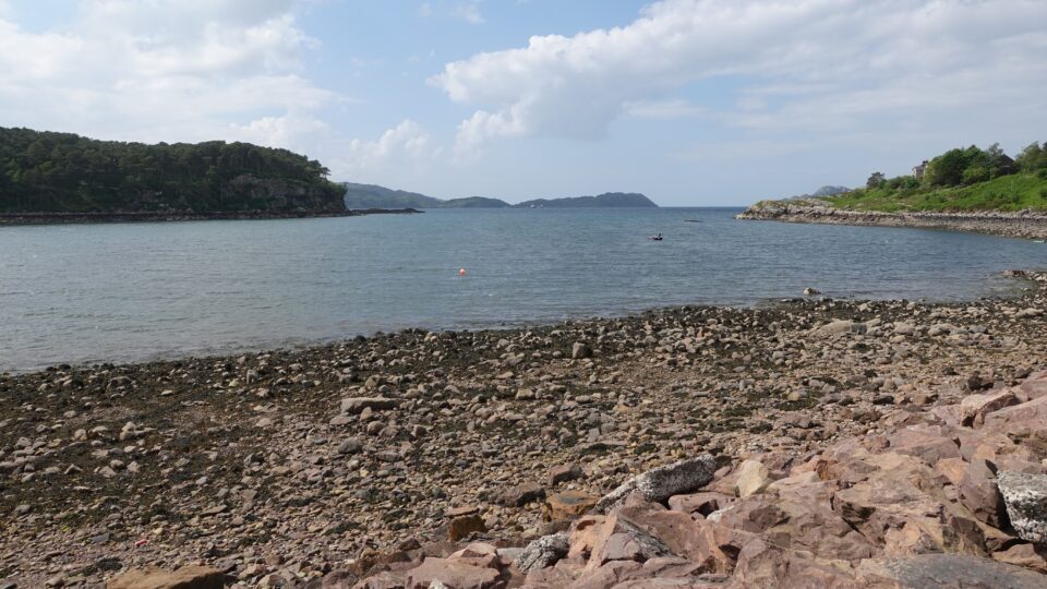

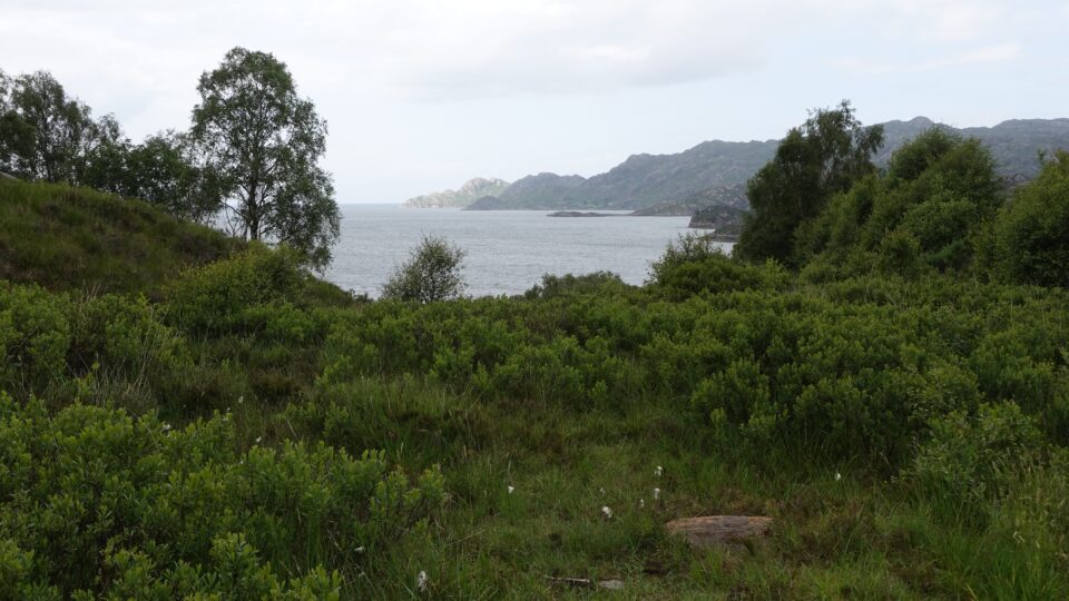
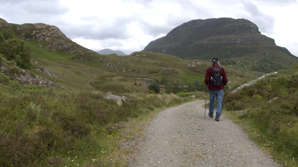
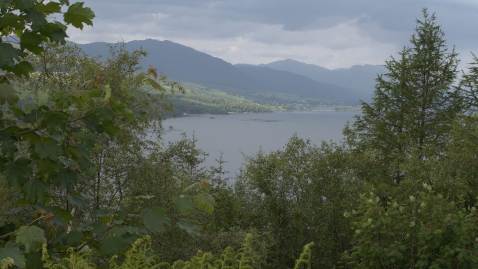
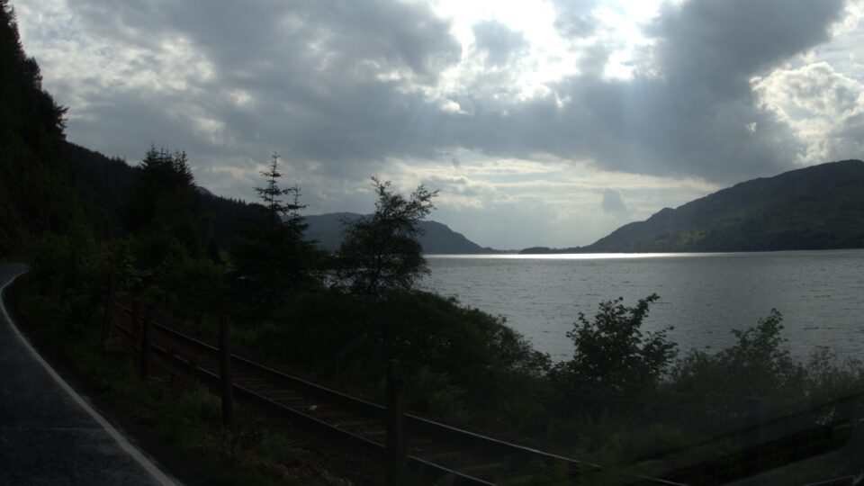
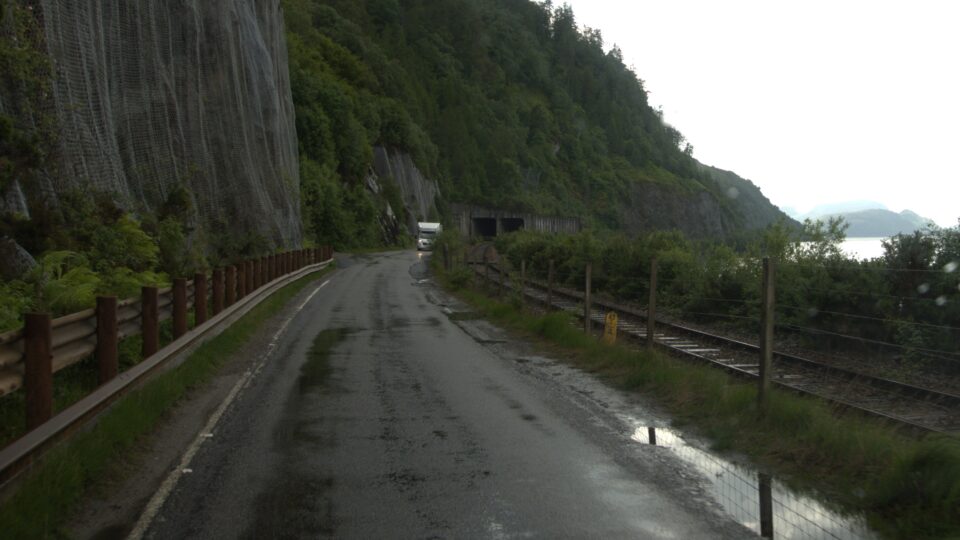
As we passed through the town of Lochcarron, it started to hail. Maybe it was good that we did not hike any further. Lochcarron is the southwest corner of the NC500. If we had finished the NC500, at Lochcarron, we would have turned toward Inverness. Instead, we continued south towards the Eilean Donan Castle and the Isle of Skye. The views continued to astound, even with the on-and-off rain.
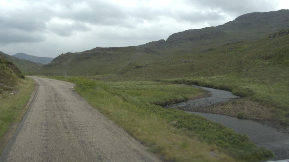
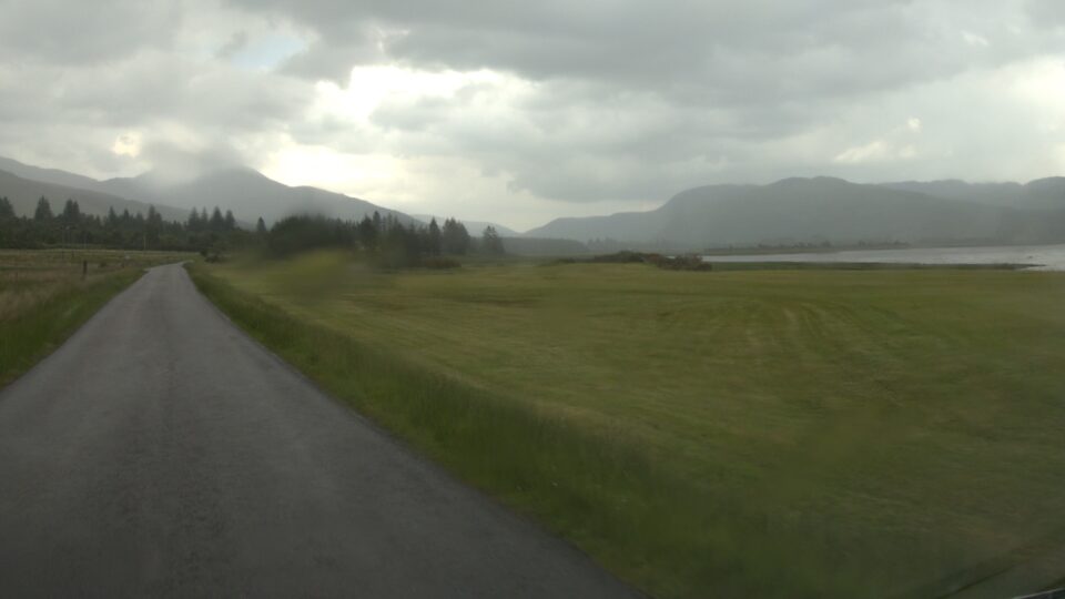
When we reached the intersection where our campground for the night was 2 miles to the right and the Eilean Donan Castle was 3 miles to the left, we decided it was too late in the day to go to the castle. We turned right and reached our campground.
Once again, I was bit over ambitious when I planned the day. Driving here takes much longer than expected – but at least the drive itself is very beautiful and enjoyable. If there ever is a next time in Scotland, I would leave more days for the west coast of the NC500 – it is spectacular.
