MAY 31, 2024: Last night we stayed in a campground close to Kirkwall, the largest city on Orkney Mainland. This morning, we need to drive through Kirkwall to reach our first destination – the Mull Head Local Nature Reserve at the northeast corner of the island.
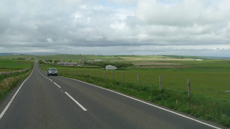
To get through Kirkwall we followed Google Maps, which had us go on a street with a bridge too low for us to drive under. First time that I needed to get out of the motorhome and stop traffic while Mark turned us around. We then drove out of the city the way we had come yesterday – even though we needed the opposite direction. We figured once we passed the urban area, Google Maps could find us a way around the city, instead of through it.
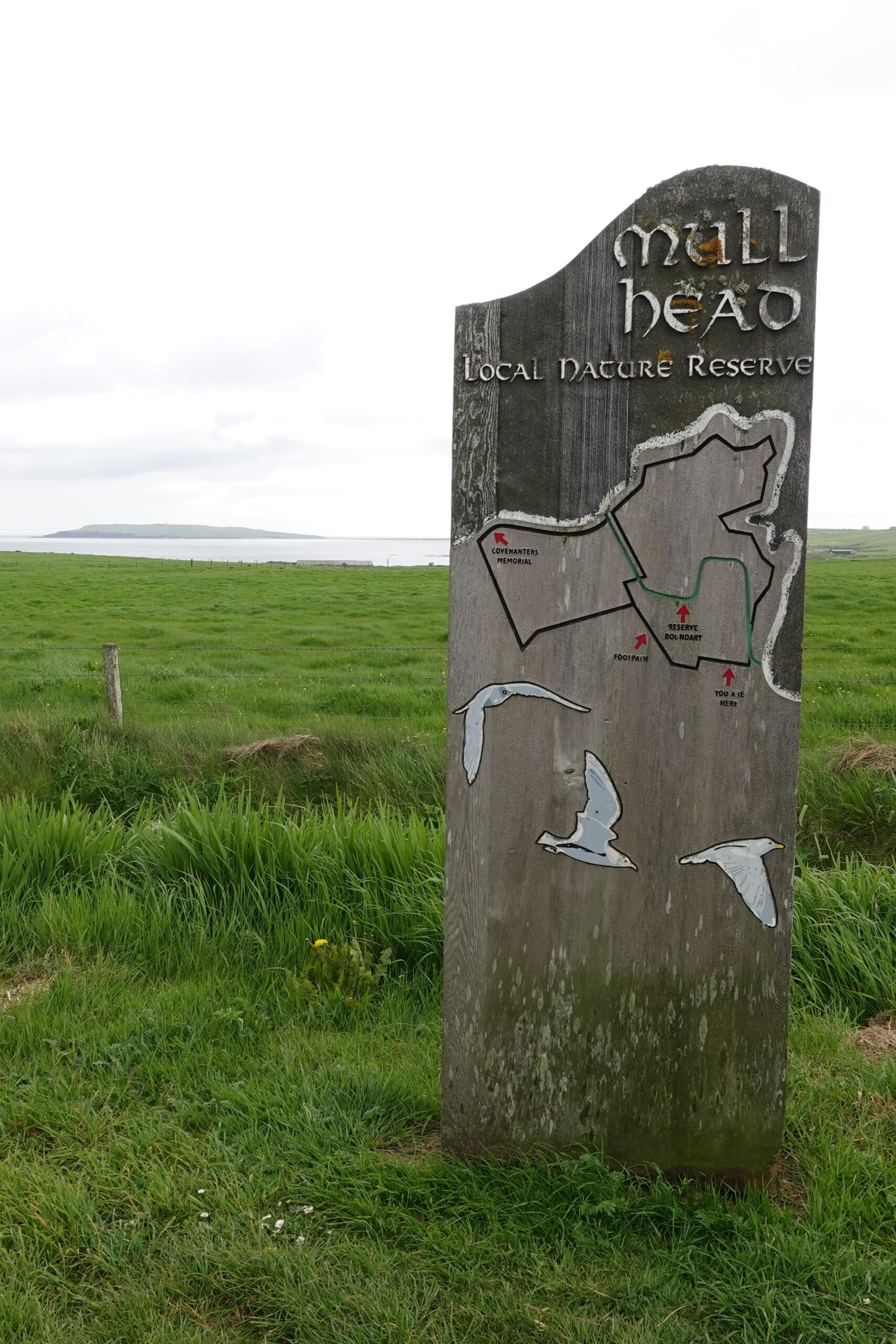
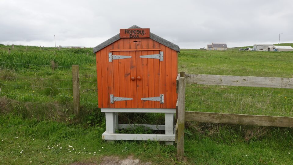
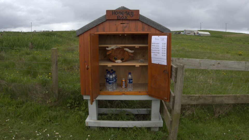
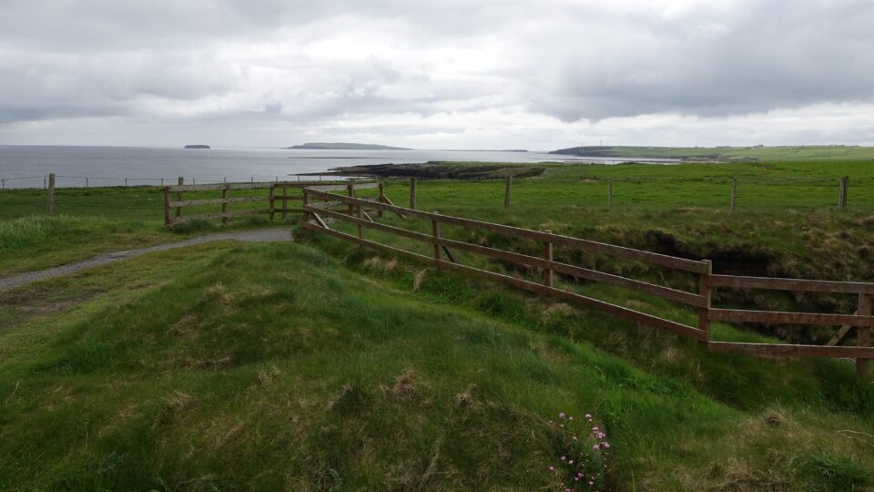
Eventually we left Kirkwall behind and reached the Mull Head Local Nature Reserve. In the parking lot of the reserve, someone had set up an honesty box. We see those all over Scotland. People place things in these boxes to sell. Often, they sell fresh eggs (duck or hen), water bottles, baked goods, etc. There is usually a price list attached, and they trust you to be honest to leave payment for what you take.
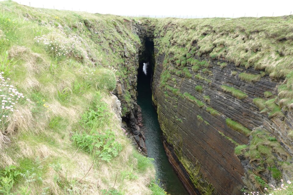
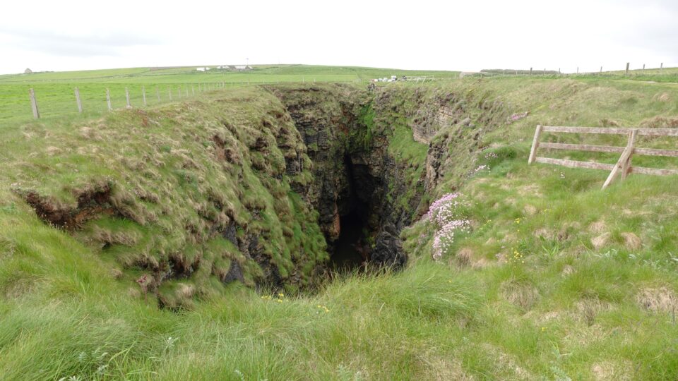
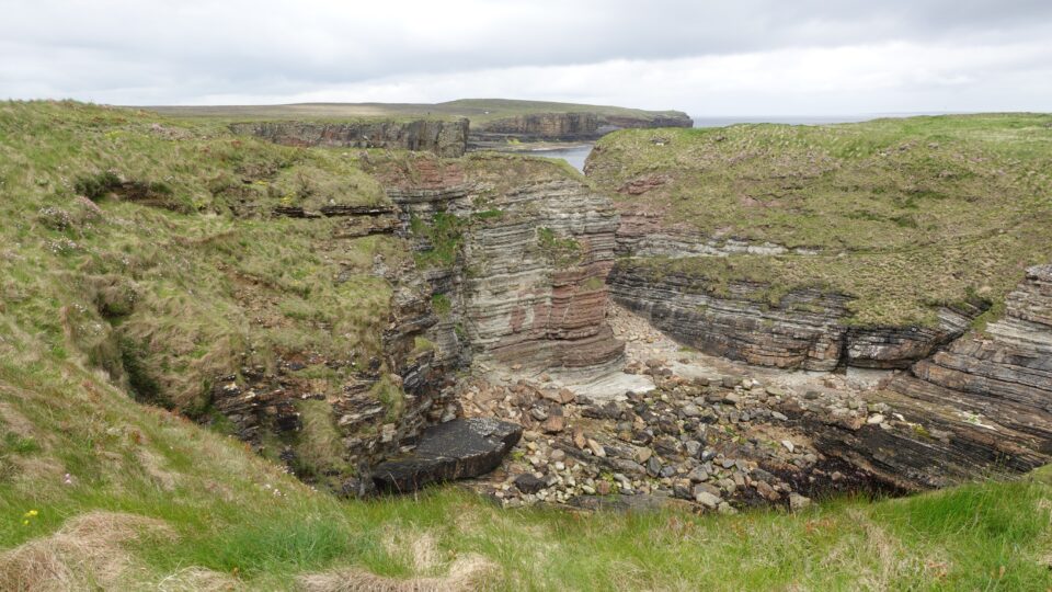
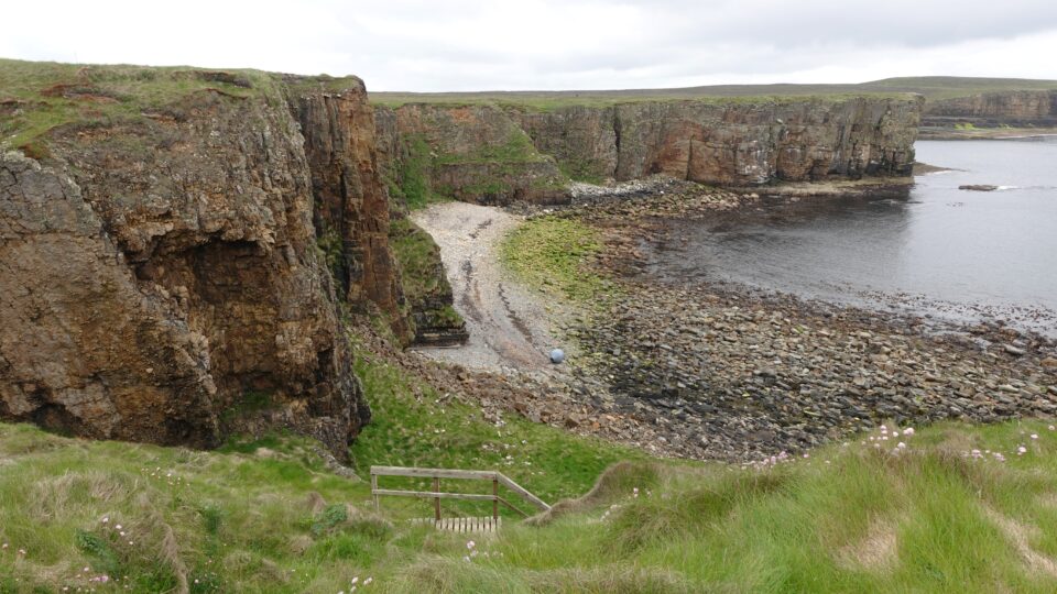
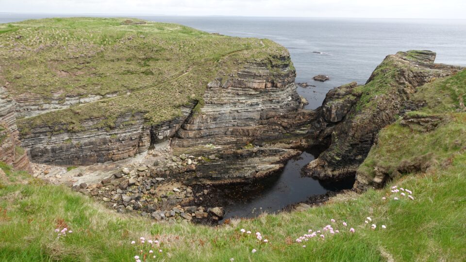
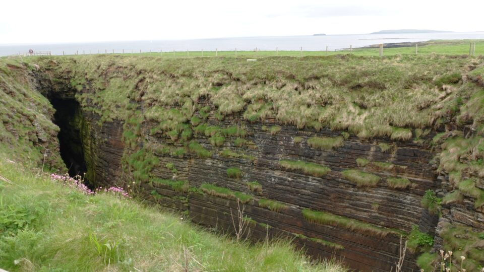
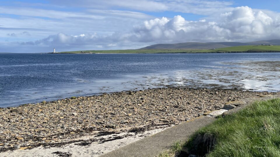
From the parking lot we walked to the Gloup. The Gloup is a long sea cave which collapsed on one side, leaving a large chasm still joined to the sea through an arch. There are viewing platforms on each end of the Gloup.
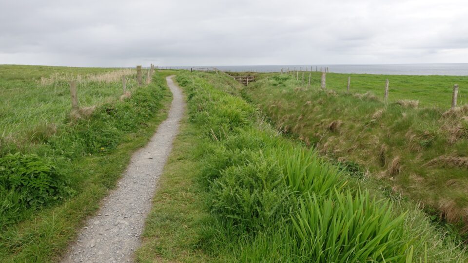
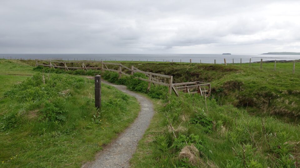
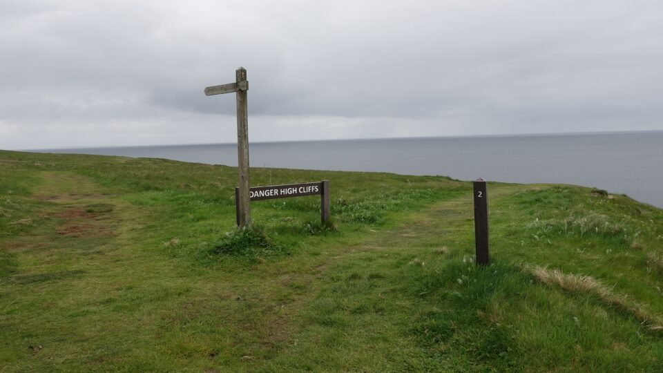
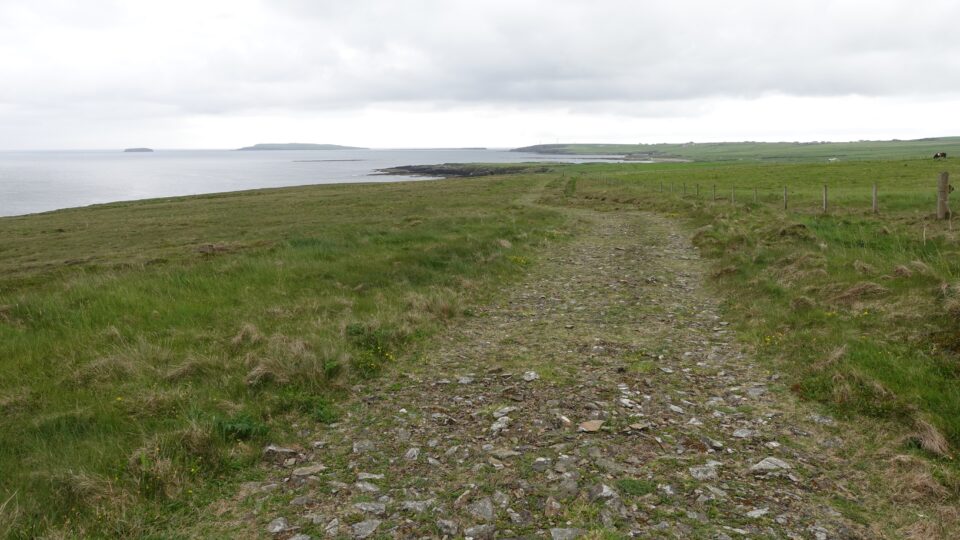
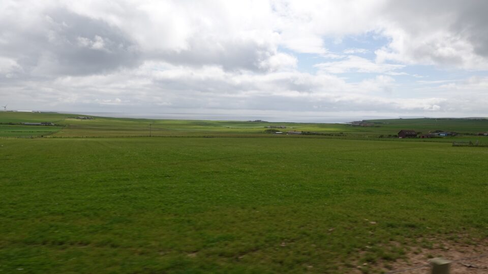
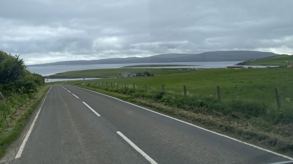
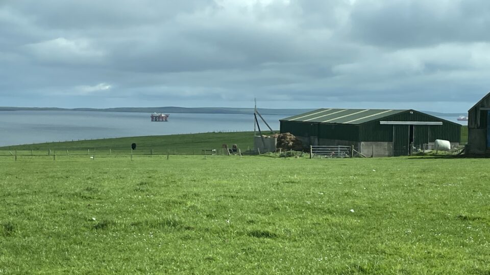
From there, we followed the coastal path for about two kilometers. There were dramatic cliffs, pebbly beaches down below, and many sea birds nesting on the cliffs. Photos say it better than I can.
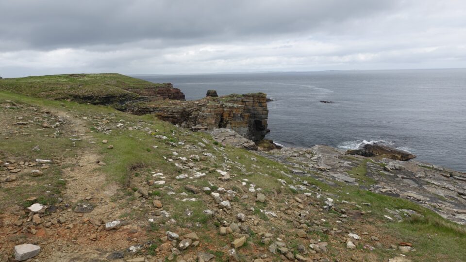
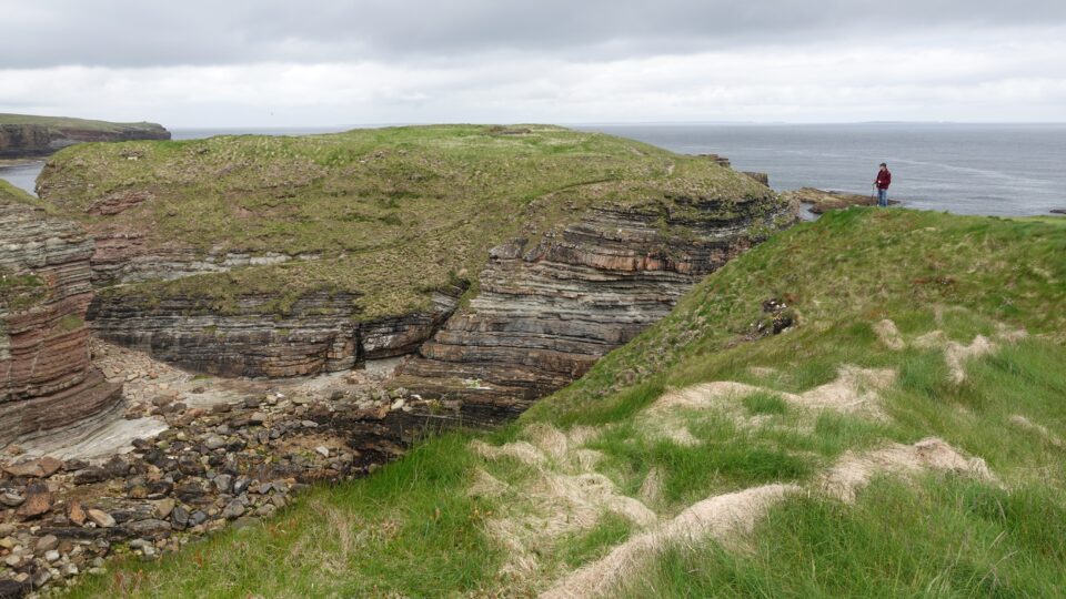
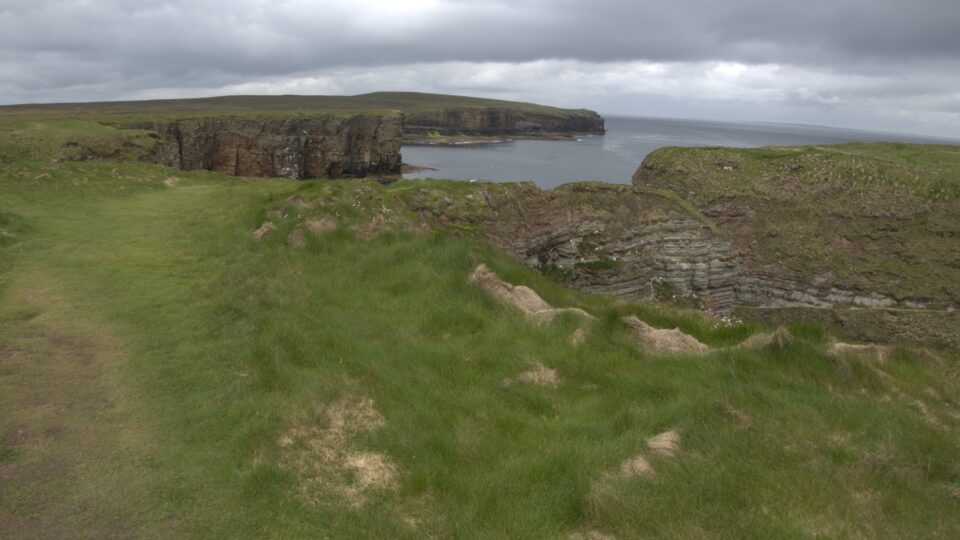
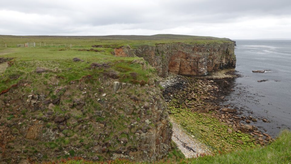
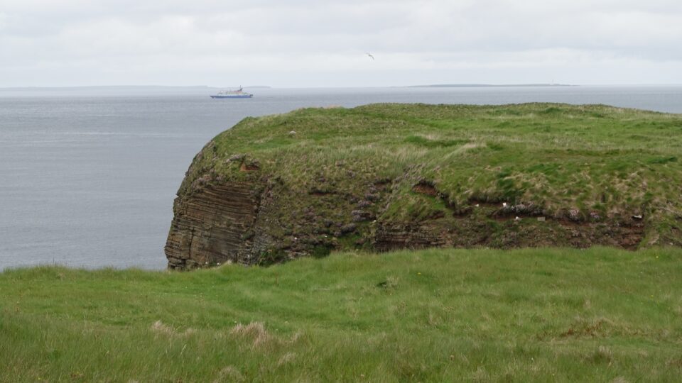
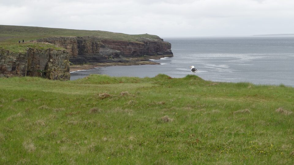
Always on these coastal hikes I am on the lookout for dolphins, seals, otters and whales. When there are cliffs, I look for puffins. No luck so far.
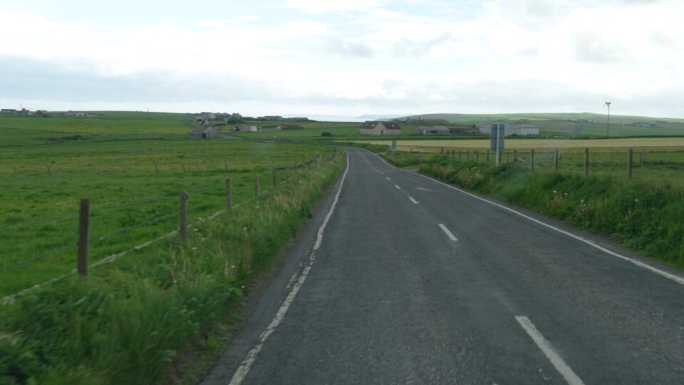
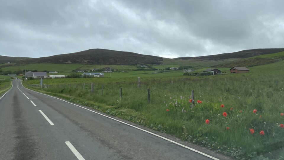
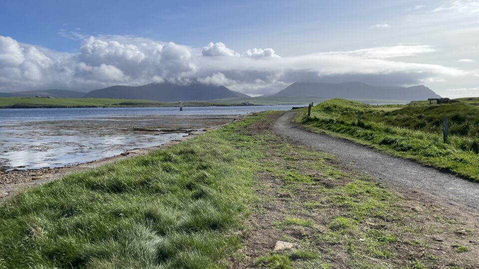
We returned to our motorhome along the inland path, through the coastal grassland.
Before returning to the parking lot, I took one last look at the Gloup. Pictures don’t do it justice. I also like it for its name.
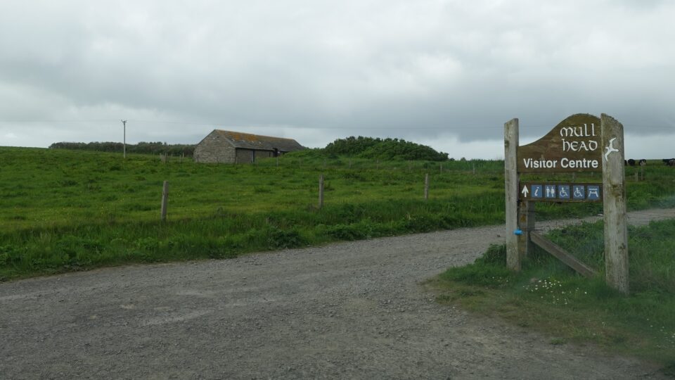
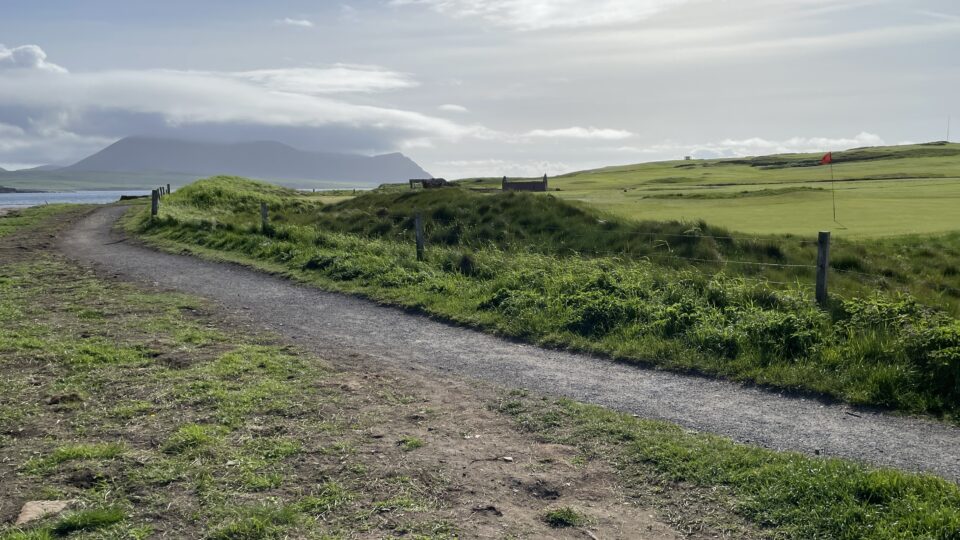
Beyond the parking lot, is an unmanned visitor center, with displays about the geology, flora and fauna of the area.
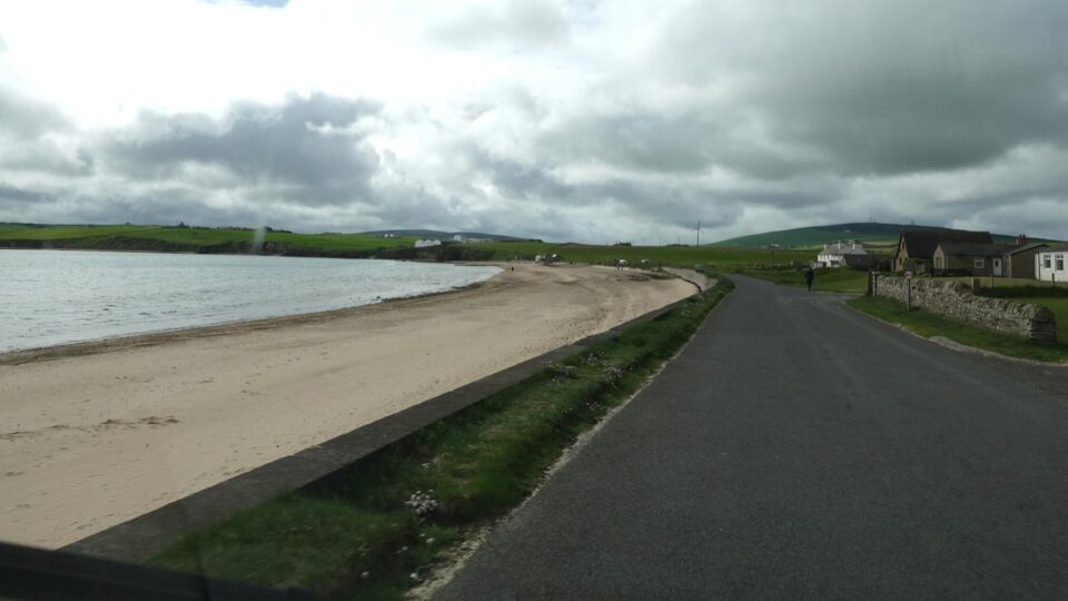
We then drove to Dingueshowe Beach, one of Orkney’s finest stretches of white sandy shoreline. After lunch in the motorhome, we strolled along the beach. No dolphins. No whales. No puffins. No wildlife but still beautiful.
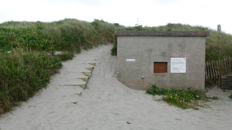
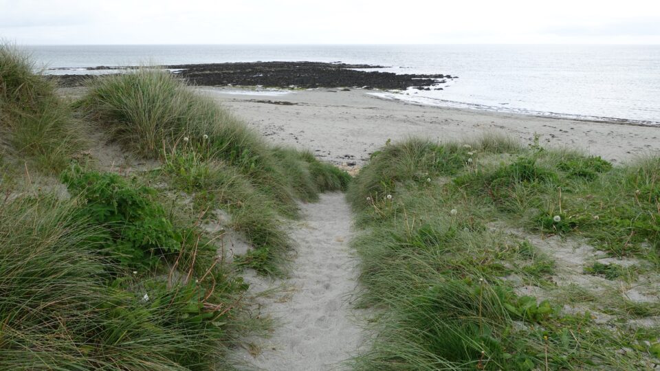
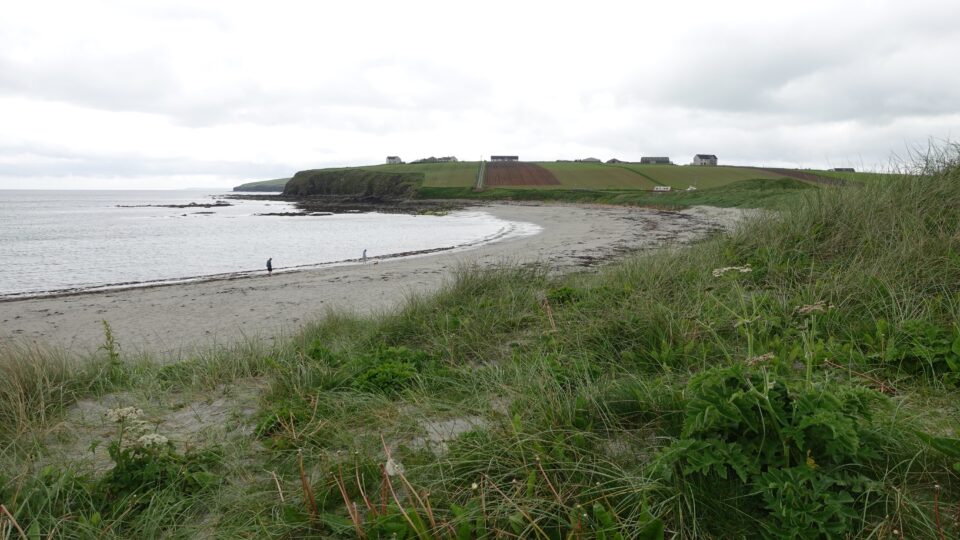
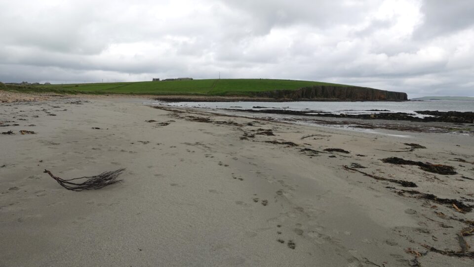
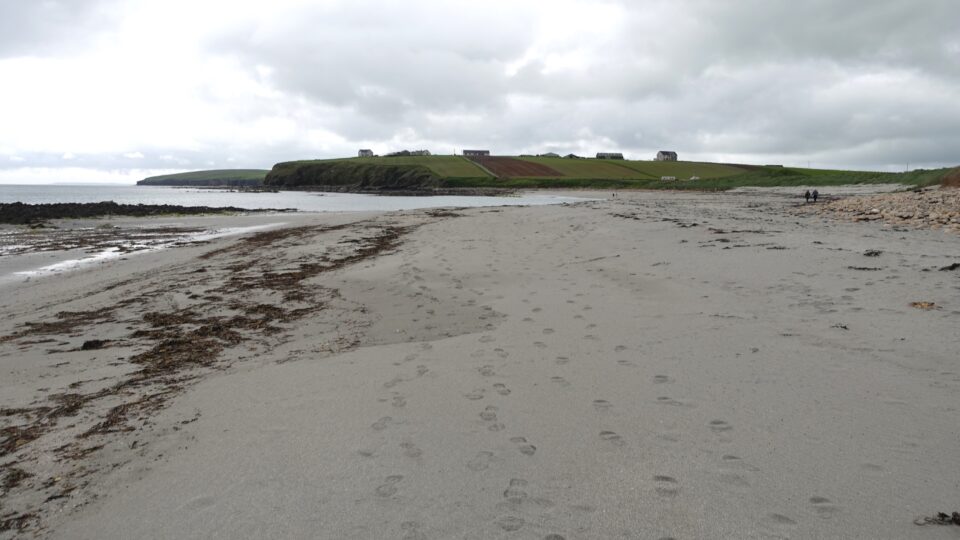
When you think of Scotland, beaches do not come to mind. Surprisingly, Scotland is full of stunning beaches. Clean white sand, blue and turquoise waters, grassy sand dunes and rocky outcrops. The beaches are used much more for walking than for bathing.
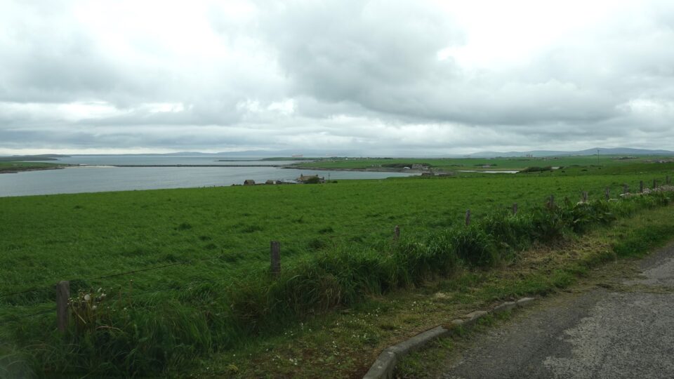
Mull head and the Dingueshowe Beach are on the east coast of Orkney Mainland. We would now drive to the southern coast, to Scapa Flow and the Churchill Barriers.
Scapa Flow is a sheltered harbor that served as the primary anchorage of the British Grand Fleet of the Royal Navy during World War I.
After the war, in 1919, 74 German navy ships were sunk by their crews to prevent them from falling into Allied hands. Some of these wrecks still lie at the bottom of Scapa Flow.
During World War II, Scapa Flow was again used as a major naval base by the British. On October 14, 1939, a German submarine infiltrated Scapa Flow and sank the battleship HMS Royal Oak, killing 833 men. Following this attack, the Churchill Barriers were constructed to seal the eastern entrance to Scapa Flow to help prevent further submarine incursions.
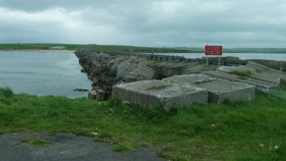
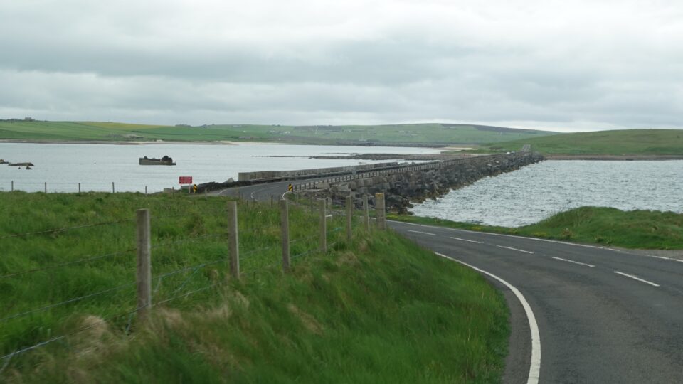
The Churchill Barriers were commissioned by Prime Minister Winston Churchill, hence the name. They were built between 1940 and 1944, mostly by Italian prisoners of war (POWs).
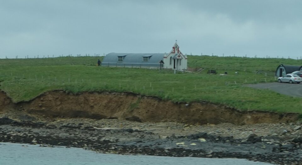
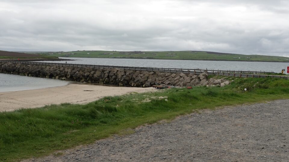
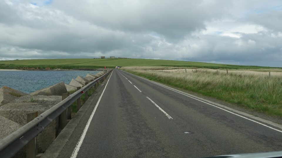
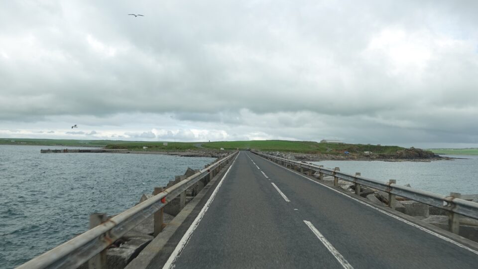
The barriers are essentially causeways, roads across the water made by sinking large amounts of concrete blocks and other materials. They connect several islands, from the Mainland to South Ronaldsay via the islands of Lamb Holm, Glimps Holm, and Burray. On Lamb Holm, is an Italian Chapel, built by the Italian POWs working on the barrier.
The naval base at Scapa Flow was decommissioned in 1956.
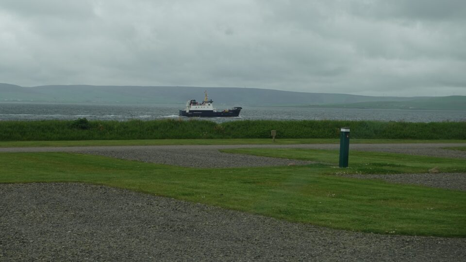
Today, Scapa Flow attracts shipwreck divers from around the world, with wrecks from both World Wars in its waters. The Churchill Barriers serve as vital transport links between the islands, providing road access where there previously was none.
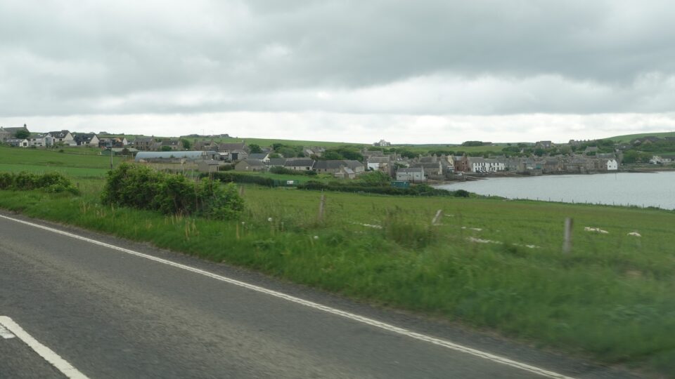
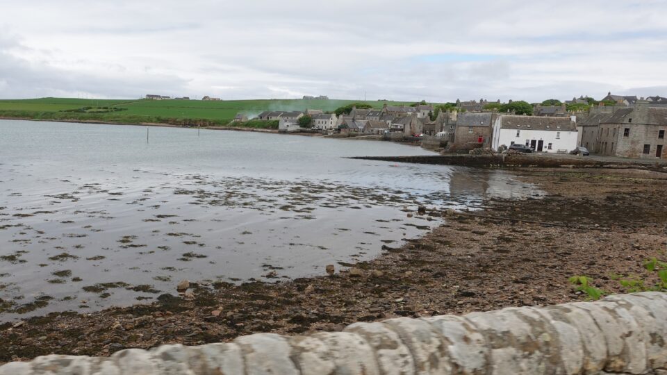
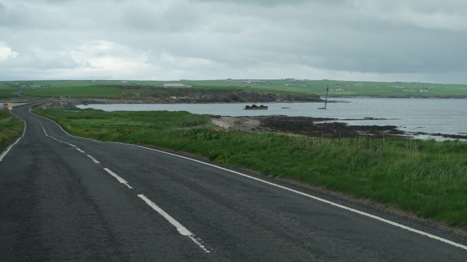
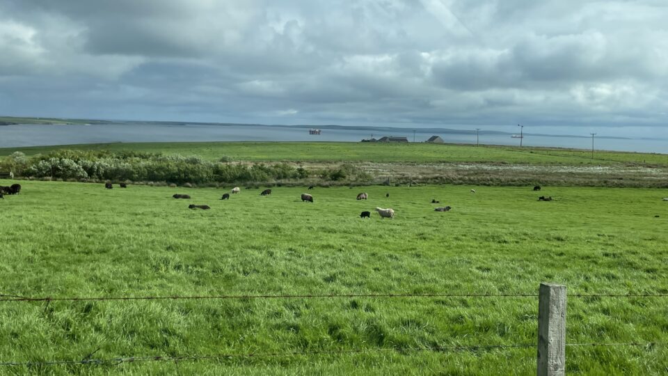
At the head of Scapa Bay lies Scapa, a collection of a few houses, the Scapa Distillery, and Scapa Beach. Along the beach there is a small section, maybe 300 meters, of one-track road. As we were driving there, a huge tractor hauling bales of hay came in the opposite direction and there was no place for either of us to pull over. Behind us was another van. The van driver backed up to a nearby driveway, so we slowly did the same. This was the first time we needed to drive the motorhome backwards to let someone pass.
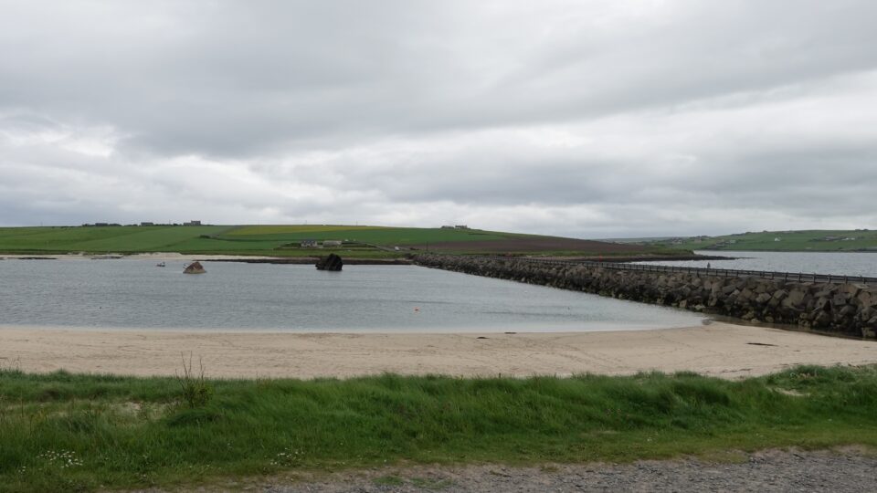
From there we soon reached the first barrier, from Mainland to the island of Lamb Holm, a small uninhabited island. The Italian chapel was visible when we reach Lamb Holm.
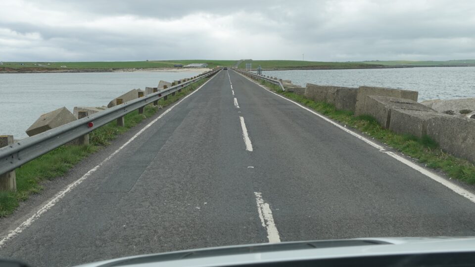
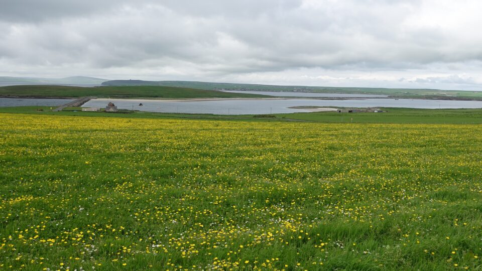
The next barrier, Churchill Barrier 2, was from Lamb Holm to Glimps Holm. Glimps Holm is another small uninhabited island. Here, as we crossed the barrier, we could see some shipwrecked boats.
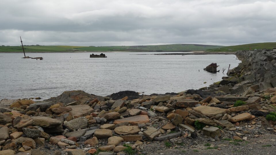
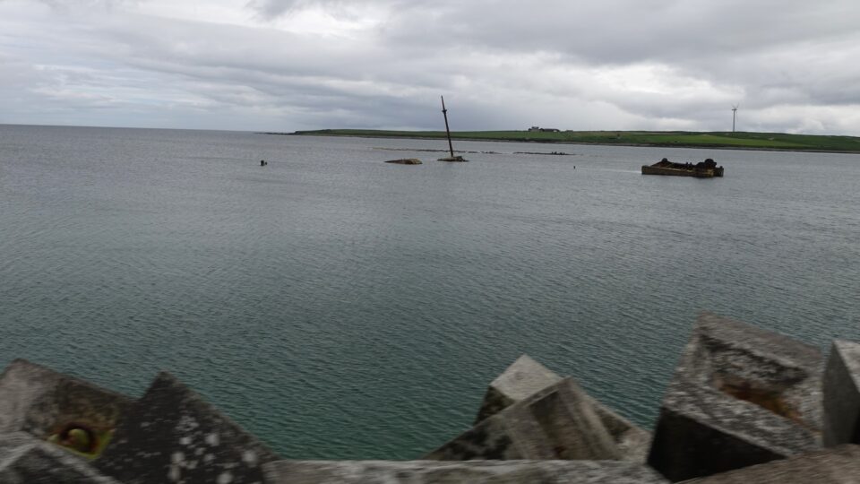
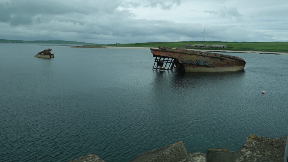
The third barrier was from Glimps Holm to Burray. Burray is a bit larger island, with a village (Burray Village) and a population of about 400. Here as we drove over Churchill Barrier 3, a large, overturned ship was clearly visible. These shipwrecks are the remains of blockships, which were intentionally sunk to block access to Scapa Flow before the construction of the barriers.
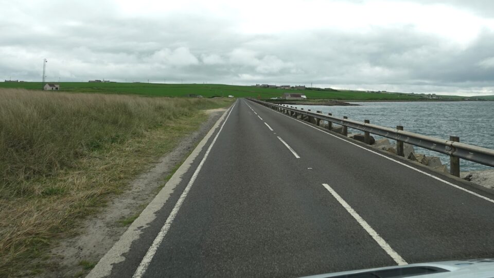
The last barrier, from Burray to South Ronaldsay, was a bit different than the first three. While the other barriers had water on both sides of the barrier, here only one side was water and the other had huge sand dunes. The barriers have affected the tidal flow in the area, altering the natural landscape which includes the development of a large sand dune system at Churchill Barrier 4.
South Ronaldsay (besides the Mainland) is the largest of the islands connected by the Churchill Barriers. It is the nearest Orkney Island to Mainland Scotland, being just 6.5 miles across the Pentland Firth from John O’Groats. The island is almost 50 km2 and has a population of about 900. The main village on South Ronaldsay is St. Margaret’s Hope. In the village, we found a place to turn around, and start our drive back over the barriers.
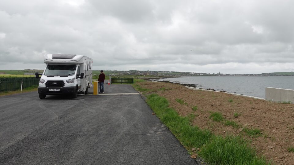
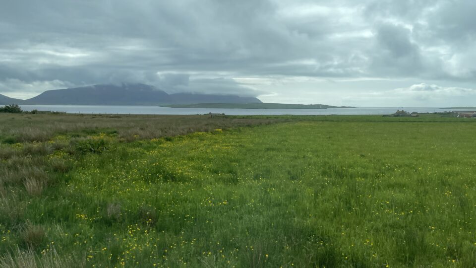
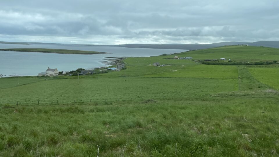
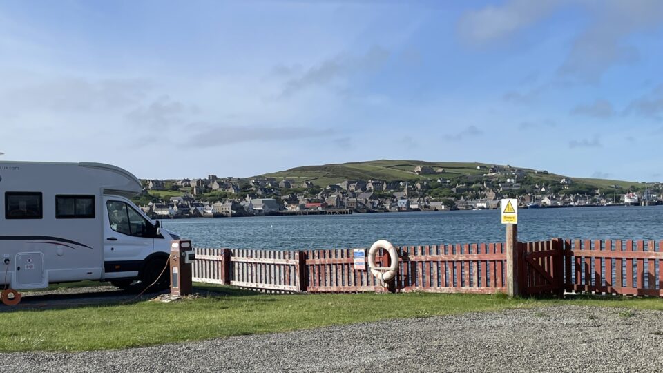
Once back on Mainland Orkney (now we can say we visited 6 of the Orkney Islands), we drove along the southern coast to reach the Point of Ness where our campground for the next two nights is located. The Point of Ness is right outside Stromness, the town where our ferry landed. Along the way, the island on Hoy, with its tall cliffs was visible in the distance.
The sun came out as we were driving to the the campground. It felt unusually hot in the car and for the first time on this trip, we turned on the air conditioning. That lasted just for a few minutes.
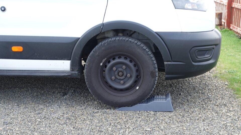
When we arrived at the campsite, the ground was not perfectly level. This gives you an unbalanced feeling inside the motor home. We used leveling blocks for the first time to straighten us out. These are plastic ramps that you place near the wheels and then drive onto to become level.
Orkney Islands are the furthest north we will be on our trip. Shabbat starts here tonight at 22:10 and ends at 23:34 tomorrow night. During the day tomorrow, we hope to explore Stromness further.
How do you pronounce Gloup?
Beautiful!
The gloup reminds me of the flume