JANUARY 25, 2024: We woke up to pouring rain in LA. What a disappointment! The day’s plan was to drive to Joshua Tree National Park, about two hours southeast of LA, drive through the park and stop for a short hike, and then continue eastward to Phoenix.
We left the hotel early, hoping to avoid morning traffic, but I am now convinced that there is always traffic in LA – you can’t escape it. The further we got from the city, the less traffic there was – which was good. But what was even better – as we got closer to the park, the rain stopped, and the sun appeared.
Along the way at one point, we passed a huge, tall building that looked very out of place in the middle of the desert. This was the first of many casino resorts we were to see along the way. These casinos are built on Indian reservations. As I heard on the TV series Yellowstone, these casinos are a way for the Indians to get money from the white man, to use to buy back the land the white man stole from them.
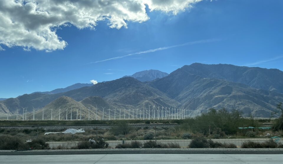
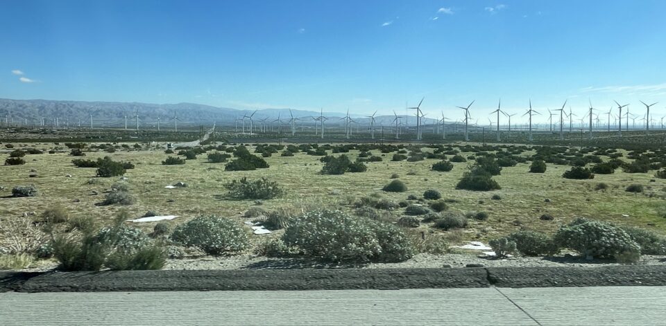
We also passed one of the largest wind farms we have ever seen. Rows and rows of wind turbines stretched over miles and miles. All gently turning from the strong winds.
Yesterday, while researching and planning our day at the park, I came across an ad for a mobile app that guides you through the Joshua Tree National Park. Using your phone’s GPS, it knows where you are, and explains what you are seeing. Considering we had a very limited time there, we decided to try using this Action Tour Guide app.
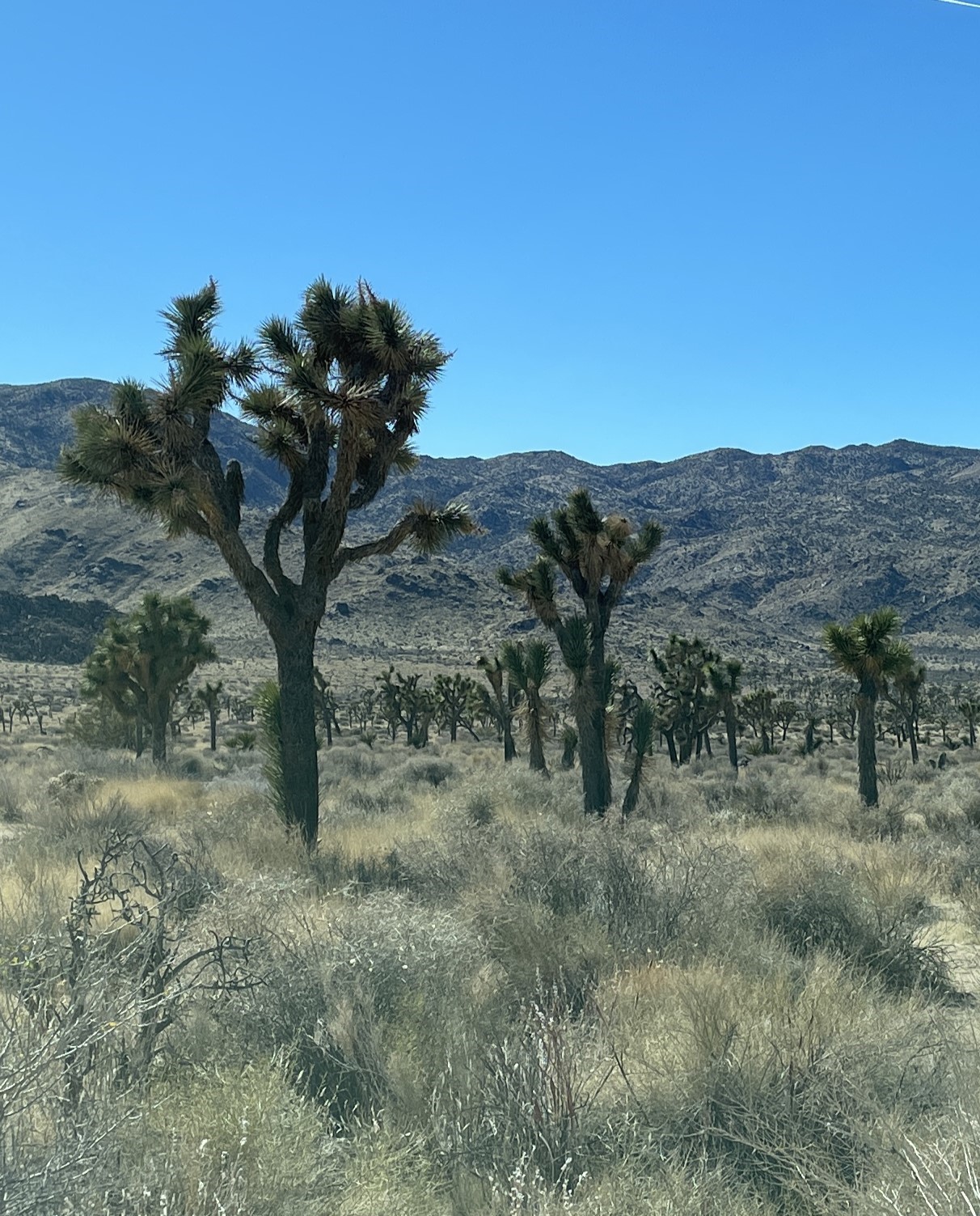
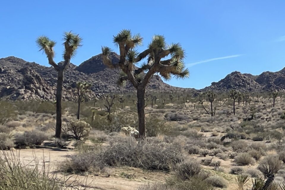
As we approached the park, the landscape became dotted with Joshua Trees – or Dr Suess trees as we call them. Even before we entered the park, the app started talking and we learned that when the Mormons discovered this area, they thought that the branches of these trees were stretched out in prayer and were pointing and leading them in the right direction. They named the tree Joshua after Joshua, who led the Israelites into the land of Israel.
We reached the entrance gate and surprisingly there was a long line of cars waiting to pay the National Park entrance fee. Many years ago, when our kids were small, we did a motor home trip in western USA and purchased an Eagle Pass that gave us entrance to all the National Parks. Today, instead there is the America the Beautiful Annual Pass. Being all-inclusive, it gives access to all national parks, national monuments, historic sites, national recreation areas, etc. Seniors can purchase this yearly pass for $20, or purchase a lifetime pass for $80. The pass covers the person whose name is on the pass (mine) and all other occupants in the vehicle. Another perk of getting old.
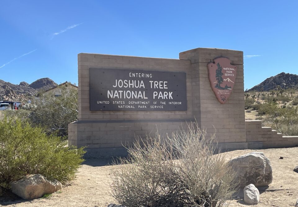
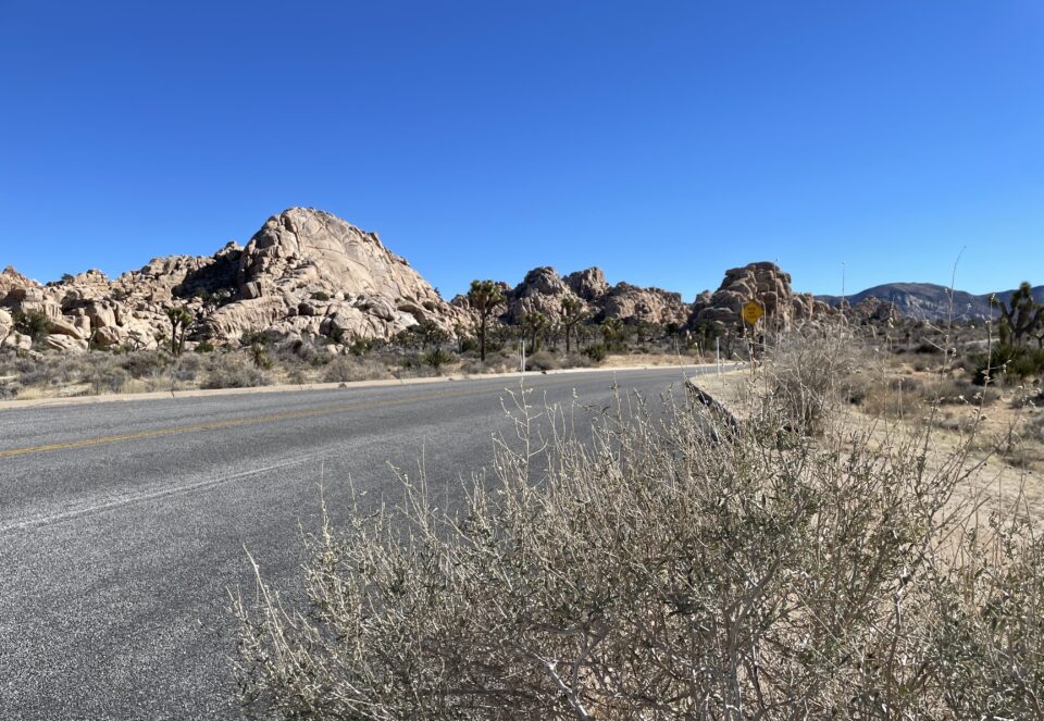
With our pass in hand, we entered the park. The park itself has three entrances and we entered through the West gate, near the town of Yucca Valley. There is one main road through the park, with several small branch roads.
Driving through the park was slow since I needed to stop at every turn to take a photo. I always figure that if I take a hundred photos, at least one will come out nice. So I literally take hundreds of photos every day.
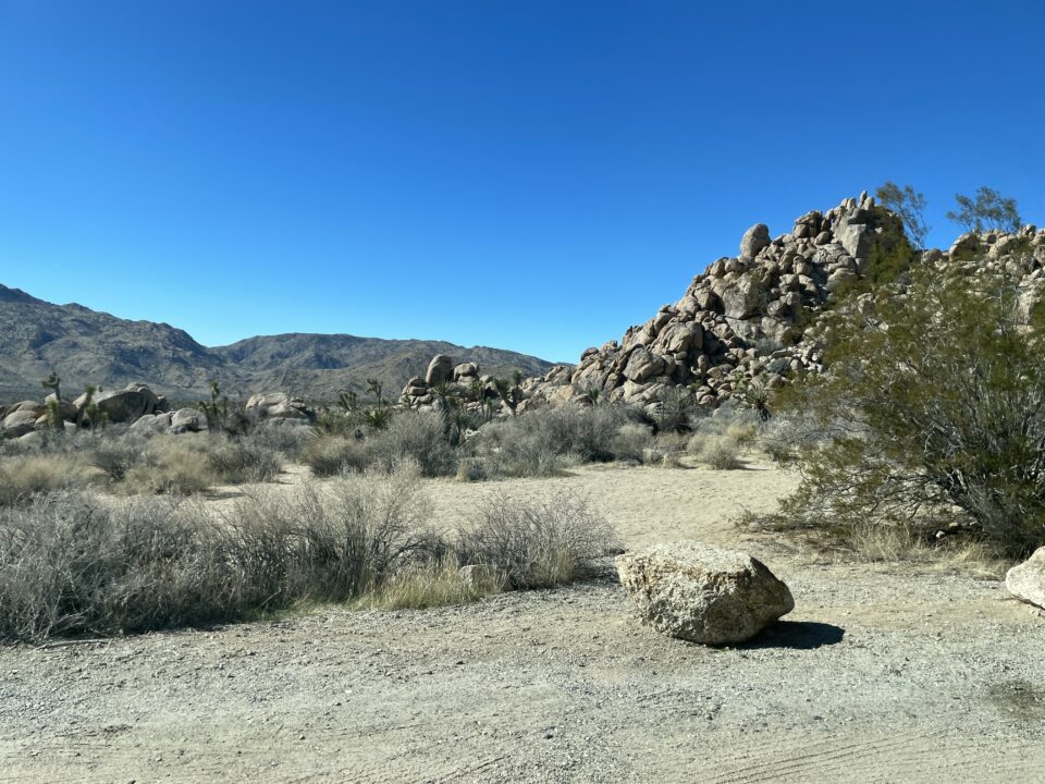
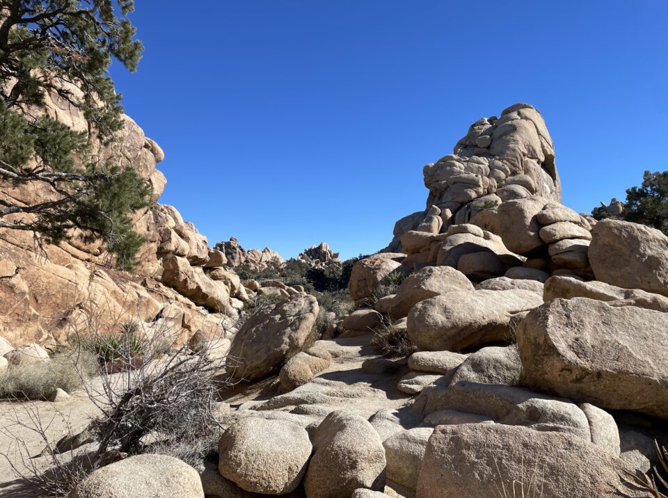
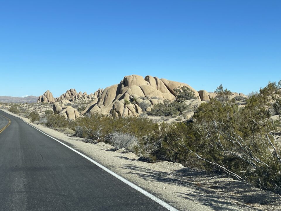
We thought that the main attraction of the park would be the Joshua Trees. However, as we drove through here, we found the boulder formations all along the road to be just as interesting.
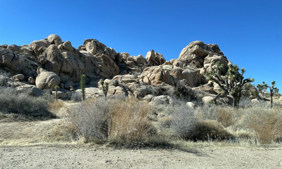
Boulder climbing as well as rock climbing are popular activities in this park. From the app, we learned that there are a few key differences between the two. First of all, bouldering does not involve any equipment like ropes and spikes that are used in rock climbing. Bouldering often happens closer to the ground. Finding ways to scramble from one huge boulder to another, sometimes moving vertically, sometimes horizontally is referred to as a boulder problem. The park has over 2000 boulder problems and they are ranked by difficulty.
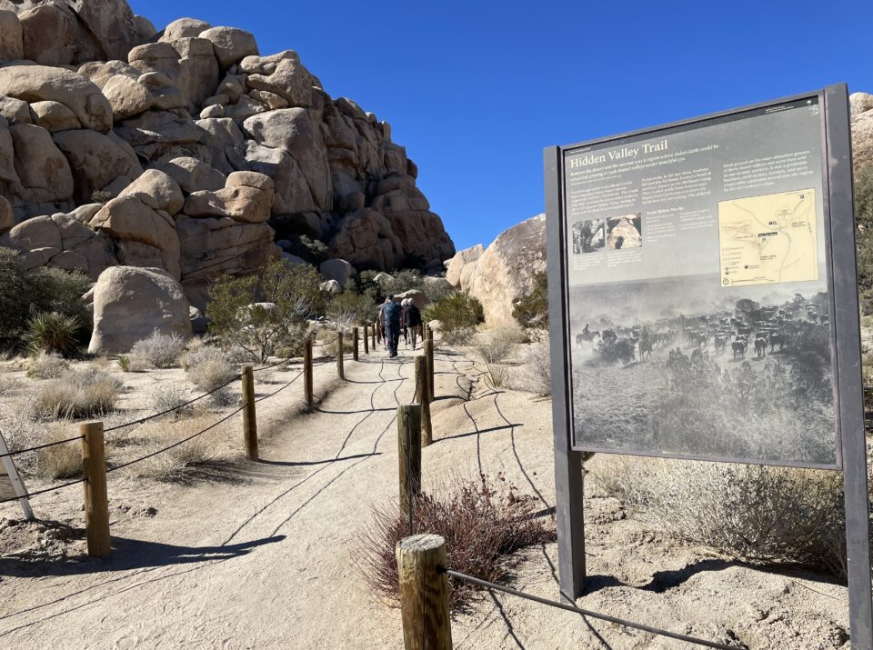
There are also many hiking opportunities in this park, for all levels of hikers, and we decided to do the popular Hidden Valley Trail. This is an easy 2.6 km walk into an area hidden by large boulders. The clearly marked path starts by climbing up and over a group of rocks and into a beautiful area. This being peak season, there were many other hikers on the path, but it was not crowded. Trail etiquette has everyone being friendly and you are constantly saying hello and good day.
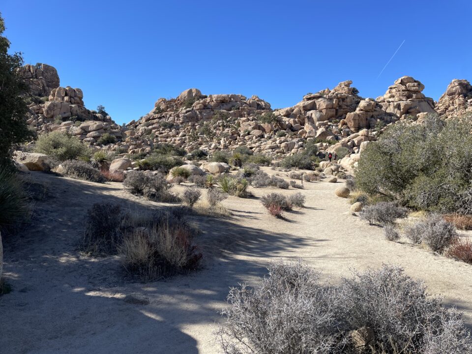
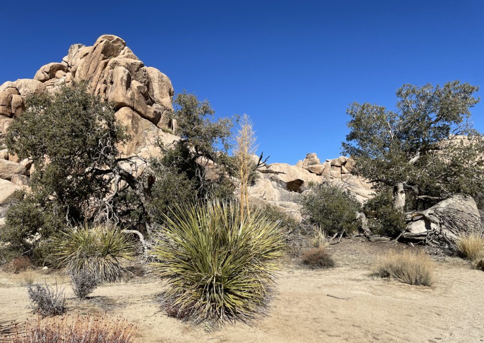
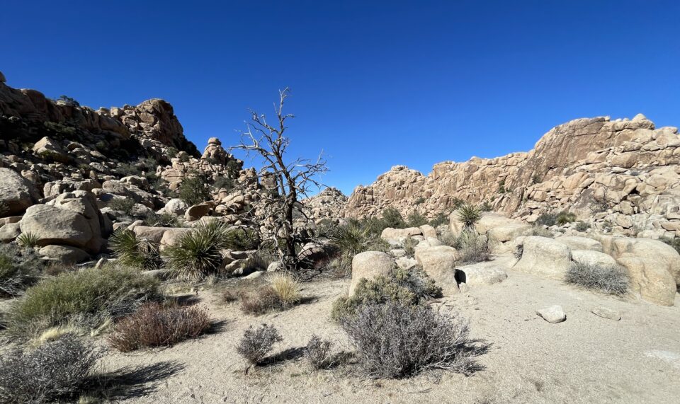
The rocks that surround this valley block the wind and collect moisture, creating a special micro climate that supports many plants and animals.
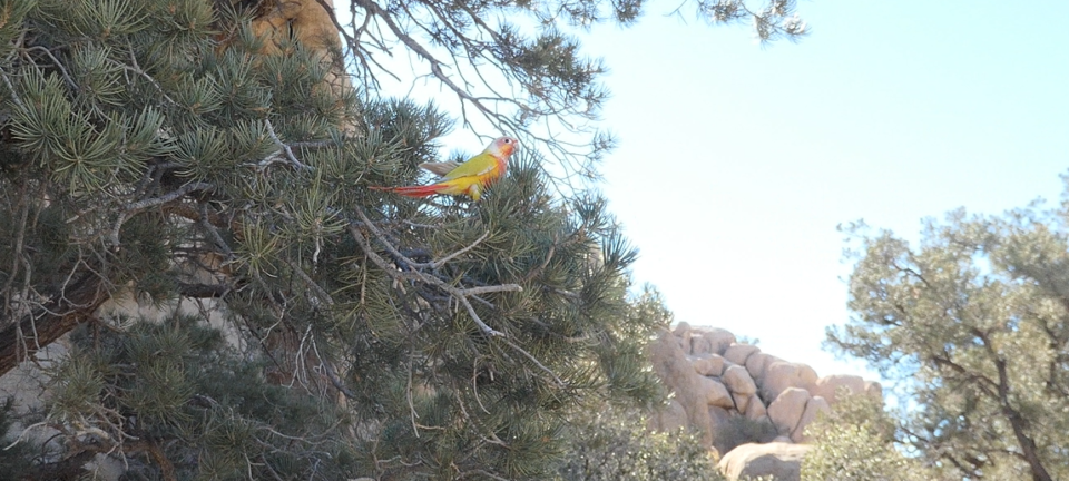
At one point, a pretty red and yellow bird flew next to us and landed on the nearby tree. We thought this was amazing – such a beautiful wild specimen perched right next to us. We were in awe as we stood and watched the bird. As the hikers behind us passed, the bird flew onto the shoulder of one of the men. Turns out, it was his pet bird, that he takes with him everywhere – not a native bird at all like we had thought.
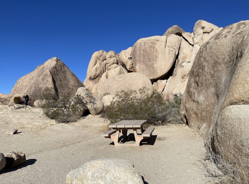
After finishing the hike, we continued down the main road. We passed Skull Rock, where the boulders resemble a skull and then went to Split Rock, which had a picnic area. We luckily found an empty table and enjoyed a late lunch.
After lunch we continued on the main road which soon reached a T – if you turn right, you have a long drive to the southern entrance. A left turn, which the app instructed us to do, took you to the East gate. This seemed to make sense to us, since we would be continuing eastward towards Phoenix.
With hindsight, it might have been shorter to go south. Once we exited the park, to reach the highway would take 1½ hours of driving through the desert literally in the middle of nowhere. Once we started driving, there was a sign that next services (meaning gas and food) were in 100 miles. Luckily, we had filled the gas tank in Yucca, right before entering the park.
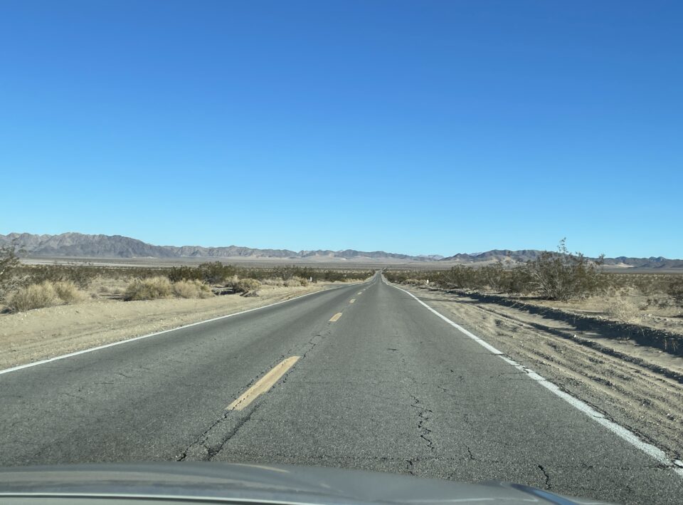
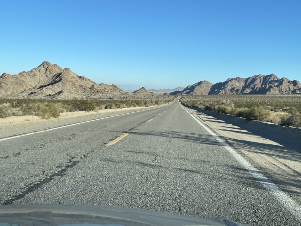
This was a bit daunting, especially since for most of the way, there were no other cars on the road. Driving along we saw that No Services also meant no cellular reception. Emergency phones were located every few miles along the road – just like the olden days. In spite, or maybe because of the isolation, the scenery was magnificent – like in western movies, where they drive through the desert and they are the only ones on the long straight road, with the mountains looming in the distance.
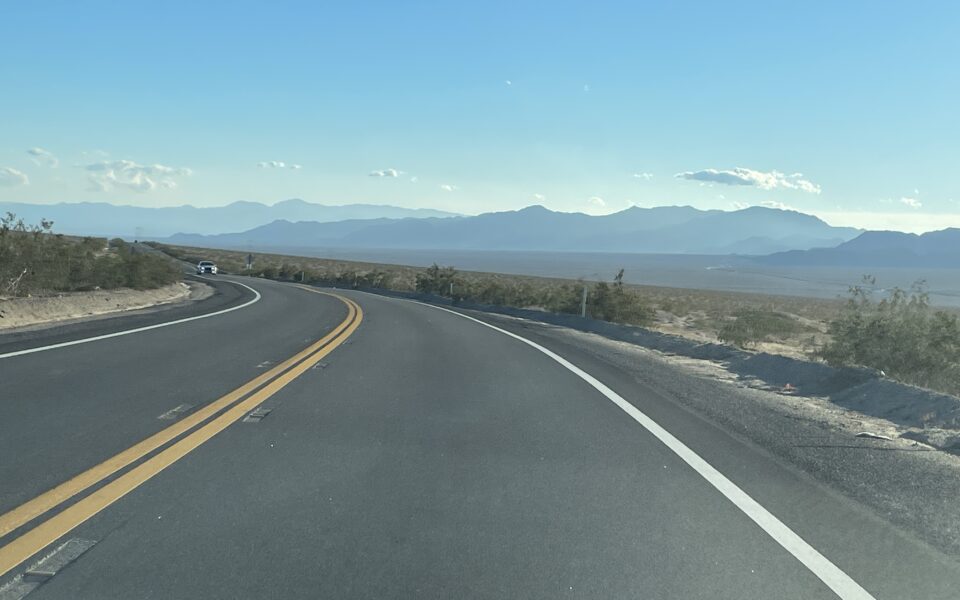
Before reaching the main highway, we passed through a large solar collection field. Both sides of the road were covered by miles and miles of solar panels. Before reaching the solar field, at one point I thought I saw a lake in the distance. This confused me – it did not make sense to have a lake here in middle of the desert. Now I understood, I had been seeing the reflection of the solar panels from far away. Remembering the wind turbines in the morning, I realized that today we had seen two good examples of the use of alternative energies in Southern California.
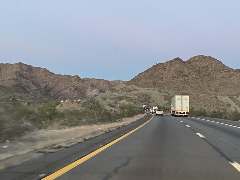
Once on the highway, we passed the border from California into Arizona and continued towards Phoenix. The main highway was crowded, full of trucks, but without delays. In spite of making good time, we decided to call it a night on the outskirts of Phoenix. We had woken up early, it was now dark, and we were very tired. We would leave the final hour of driving in Phoenix to reach our relatives for the morning. All in all, it had been a great day – wonderful to be out of the city and into the fresh air and be surrounded by the beauty of the area.
0 comments on “Joshua Tree National Park”Add yours →