FEBRUARY 1, 2024: The plan for the day was to make the long drive to El Paso, Texas. On the way, we would pass through Bisbee and then continue another ½ hour south to Douglas, on the Mexican border, and then make our way through New Mexico towards El Paso. Originally, we thought of staying overnight in Douglas, but when we looked at what there is to see there, the number one attraction in Douglas was to go visit Bisbee. Based on that, we decided not to stay and instead, continued onward.
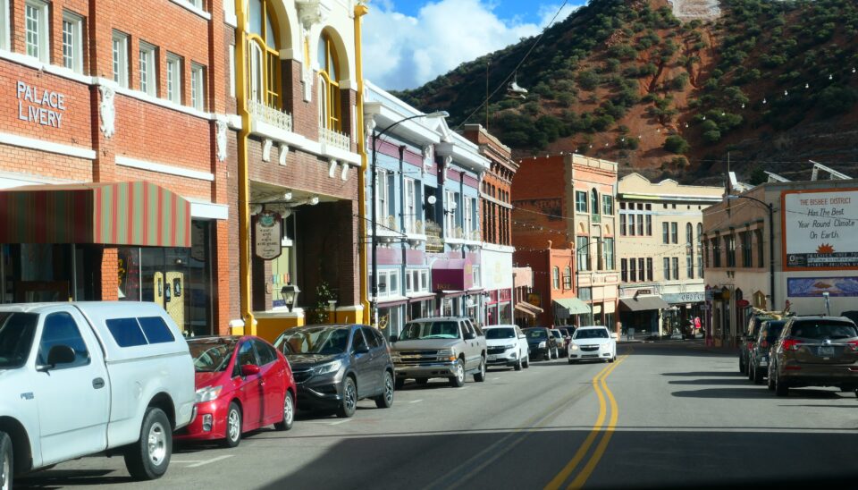
Like Tombstone, Bisbee was a mining town. In Tombstone, they mined silver, in Bisbee they mined mostly copper. Similar to Tombstone, the boomtown of Bisbee was officially established around 1880. The massive success of the mining operations continued through the early 1900s. At its peak, Tombstone was the larger town, but today Bisbee has about 5000 residents, more than three times the size of Tombstone. It too has a preserved historical center.
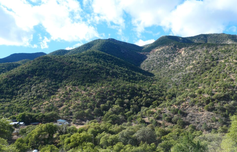
Bisbee sits in the mountains, at an elevation of 5538 feet, a bit higher altitude than Denver – the mile-high city. The mountains have a semi-desert appearance – they are green with small trees but also include cacti, yucca and other desert plants.
The town has become a destination for artists and craftsmen. Several of them currently living in Bisbee are Jewish, but there is no formal Jewish institution in the town.
One of the most popular attractions in Bisbee is the Copper Queens Mine, where you board an original mine train for a tour of this underground mine.
Having a long drive ahead of us, we did not make a stop in Bisbee. This was probably a mistake. Especially when we later learned that there is a street in Bisbee that is preserved as is from the 1940’s – storefronts and parked cars have been frozen in time. We would have enjoyed seeing this and are sorry to have missed it.
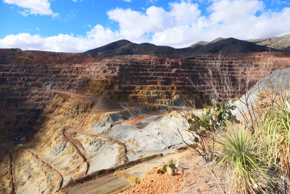
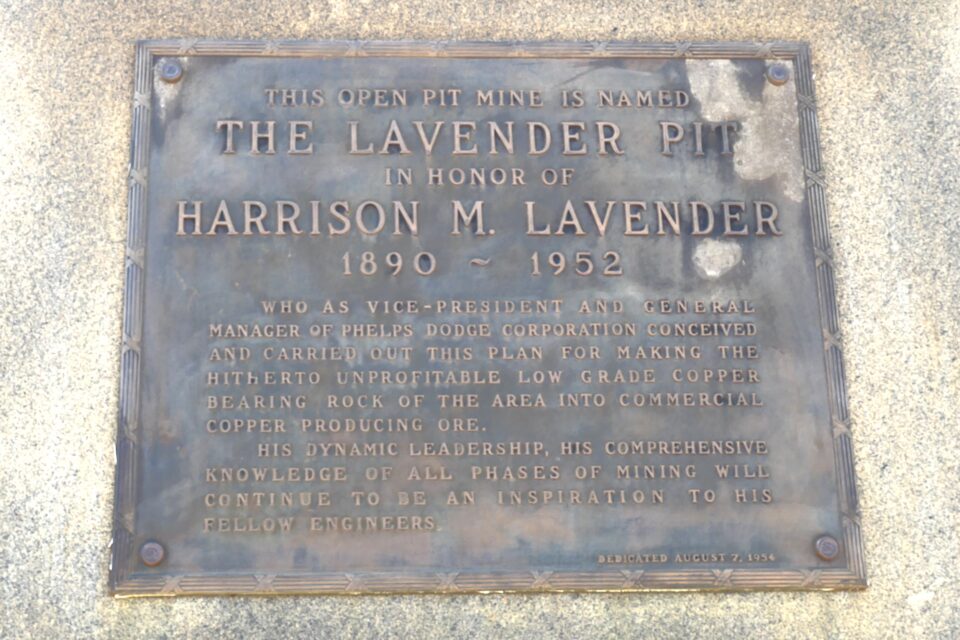
After driving through the town, we stumbled upon the Lavender Pit Copper Mine. This was an open pit copper mine that operated from 1917 to 1974. It was huge – 1.2 kilometers (4000 feet) wide and 1.5 kilometers (5000 feet) long. Looking down 300 meters (850 feet), you see many layers of different colors – red, yellow, gray and lavender – each one a different mineral. The name Lavender Pit is not from the color, but rather the pit is named after Harrison Lavender, who was the engineer and executive who started the mine.
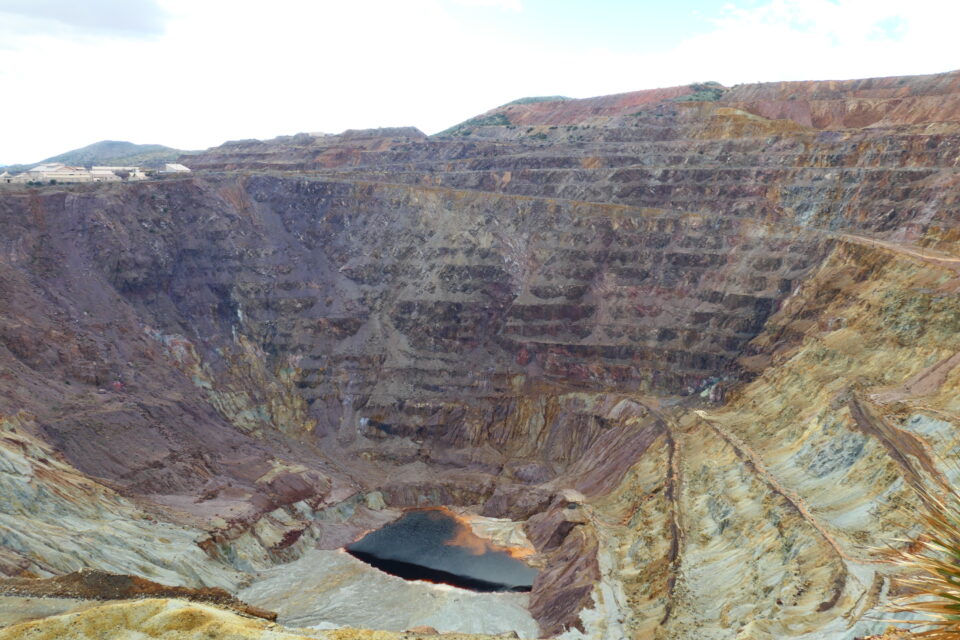
The underground Copper Queens Mine supplied high-grade ore (rock containing a high concentration of metal), while the Lavender Pit supplied low-grade ore. As the demand for copper grew in the 20th century with the need for copper wiring for conducting electricity, and new technologies made it possible to easily remove the copper from low-grade ore, open pit mining maximized the amount of copper that could be extracted.
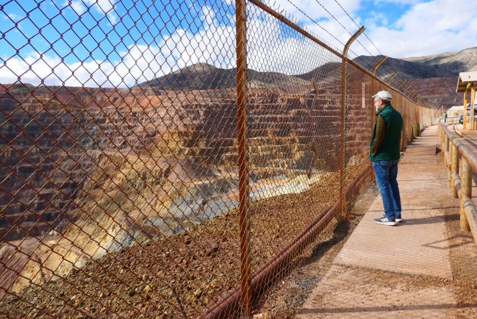
There is some signage at the site to learn about the history of the place. There are also signs about how the mining industry has changed over the years to take the environmental impact into account. If they ever re-open the mine at Bisbee, it would be done very differently adhering to the new environmental standards.
From Bisbee we had a short ½ hour drive to Douglas. Like Nogales, Douglas is a border town with a border crossing into Mexico. The town was founded in 1905 and grew quickly. Jewish merchants were part of the economic life of the town from the beginning and by the 1920’s, 65 percent of the stores on the two-blocks of the main avenue, were run by Jewish entrepreneurs. Douglas had Arizona’s only kosher restaurant at the time. Jewish residents played additional prominent roles in the county, such as deputy sheriffs, bankers and mining executives.
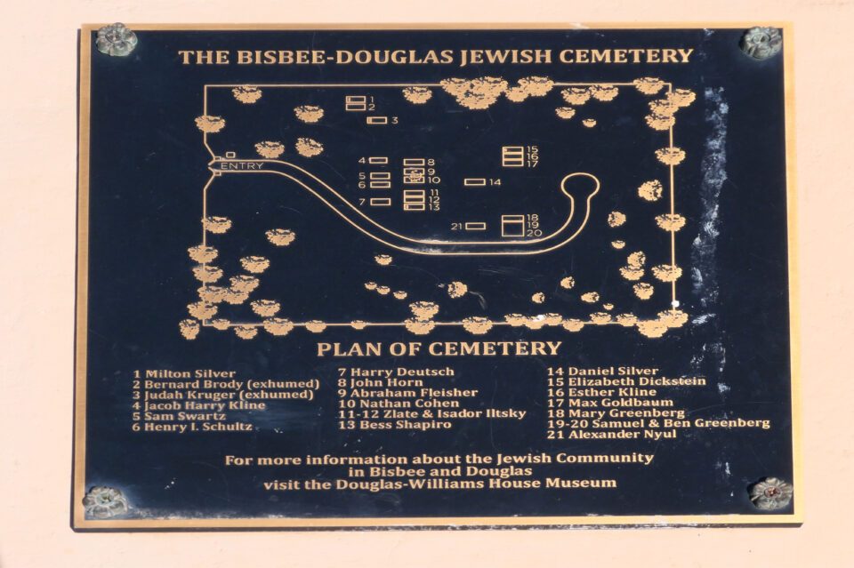
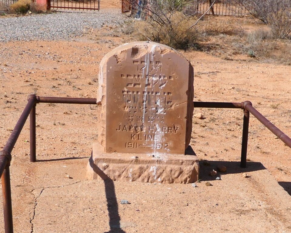
The Jewish community of Douglas reached its peak during the World War I era and planned to build a synagogue. That never happened, but in 1909, they had established a cemetery, known as the Bisbee-Douglas Jewish Cemetery. The first burial occurred in 1912 and the last in 1963. This is thought to be the first Jewish cemetery in Arizona.
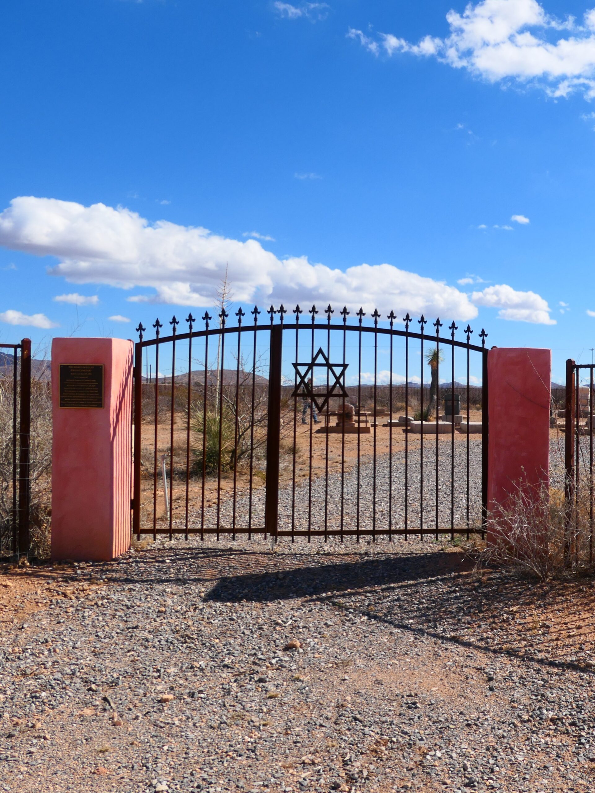
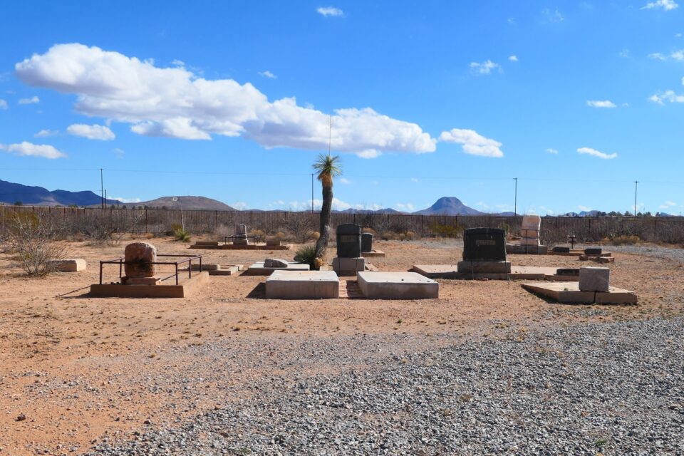
Today there is not a significant Jewish population in Douglas. Over the years the cemetery was neglected and forgotten – full of weeds, tombstones were toppled, and the scorching sun and heavy rains did their damage. It was first restored, re-fenced and cleaned in 1992. In April 1993, it was rededicated in the memory of the Jewish Pioneers of Cochise County. However, vandalism and neglect continued until 2020, when the cemetery was once again restored.
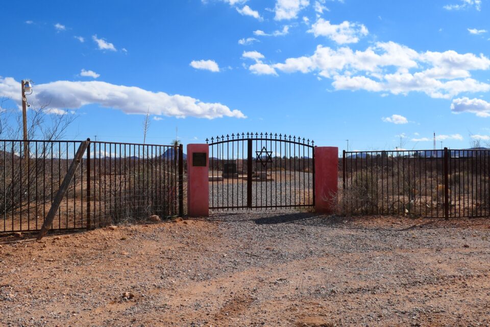
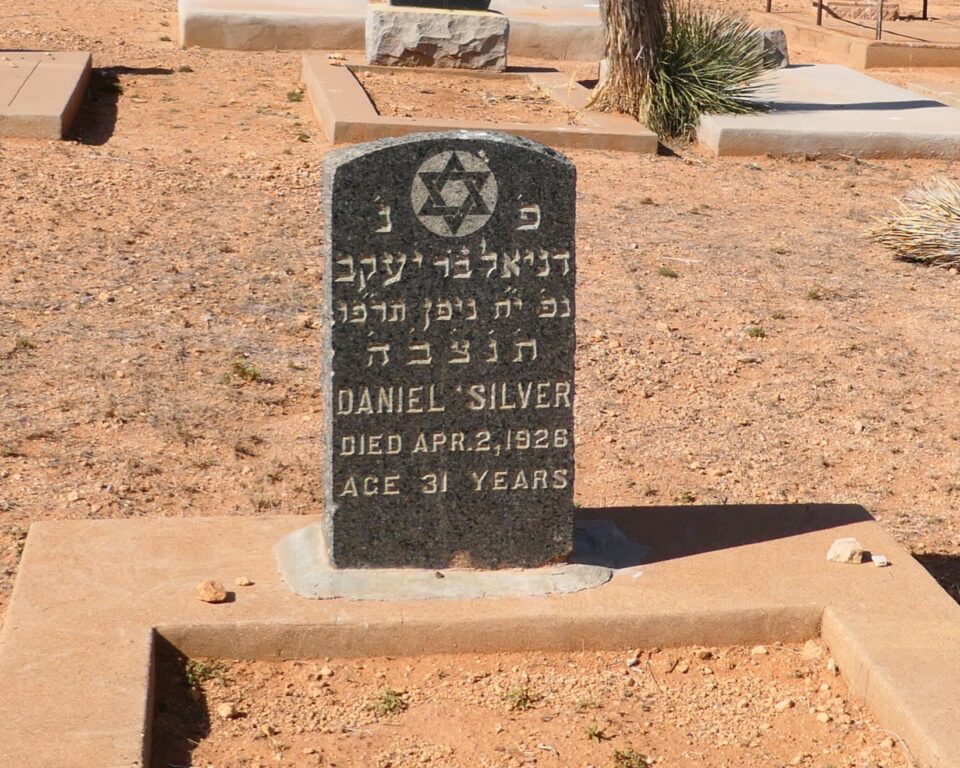
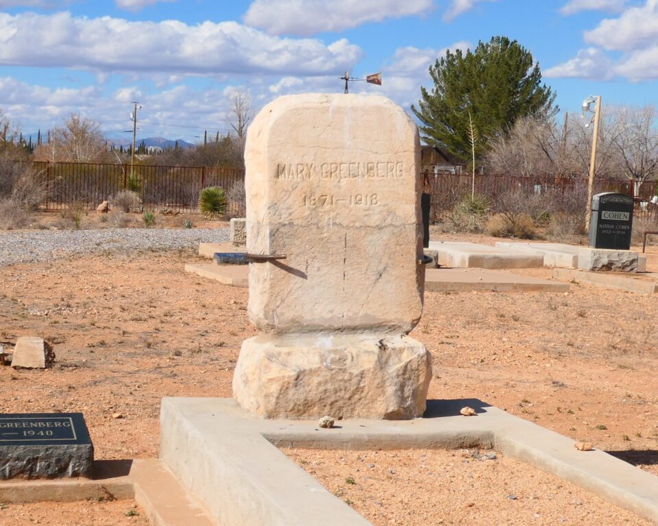
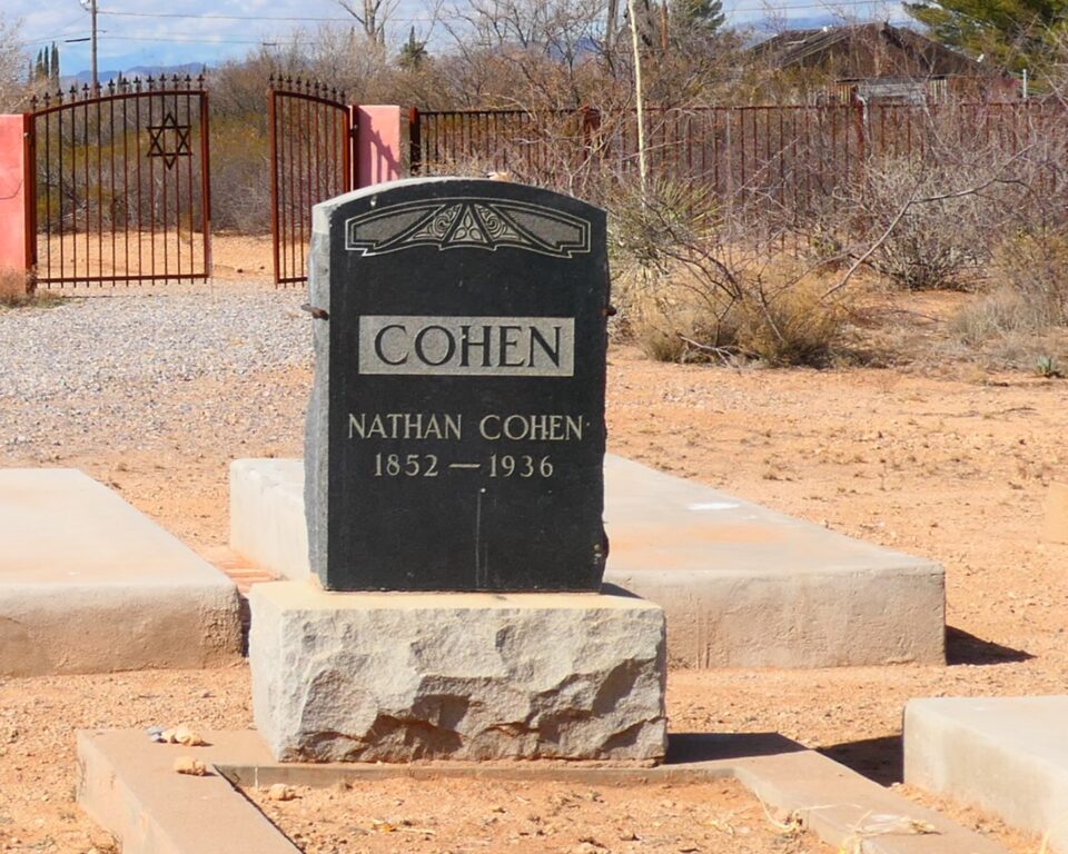
To reach the cemetery, we drove to the edge of town on wide streets with private homes. We parked at the end of the pavement and walked on the dirt road leading to the fenced-in graveyard. The gate to the cemetery, with a large Star of David, was unlocked. Security cameras were in place. The cemetery has about 20 graves, with family names like Goldbaum, Cohen, Greenburg, and Shapiro etched into the headstones, some written in Hebrew.
After leaving the cemetery, while driving through Douglas, we saw several border patrol cars. Dealing with illegal immigration from Mexico would be a theme that would follow us throughout the rest of the day.
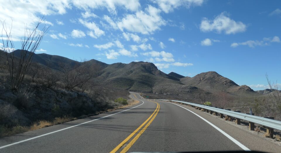
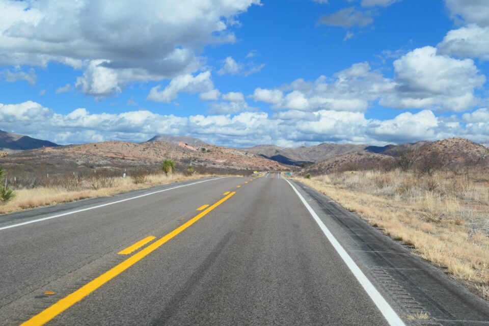
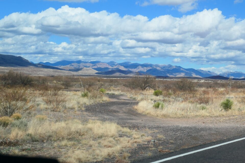
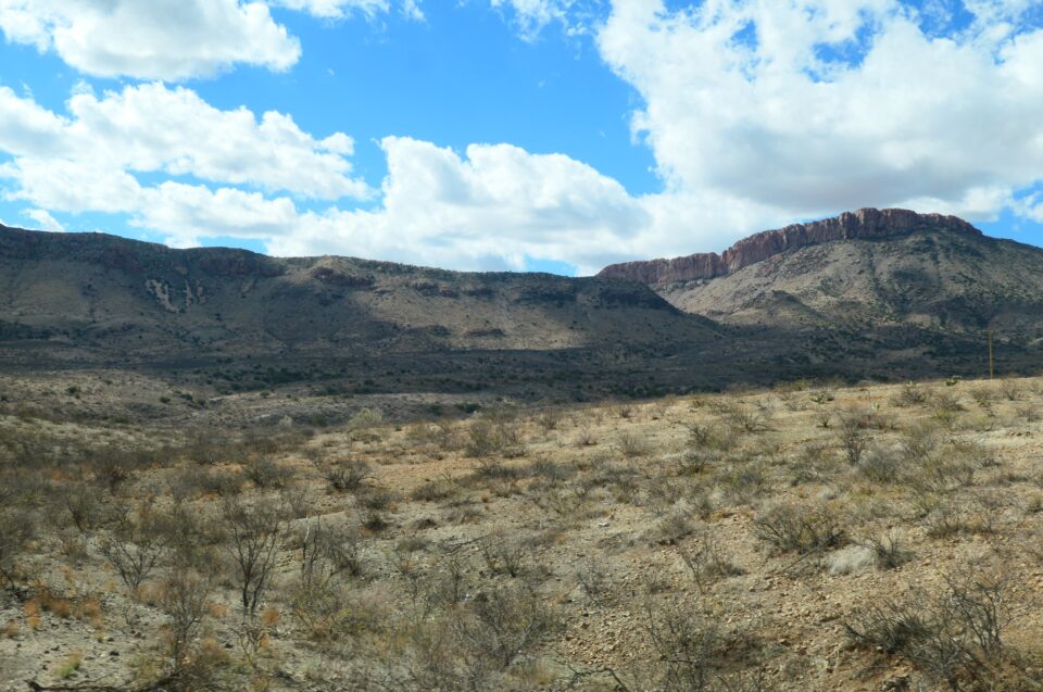
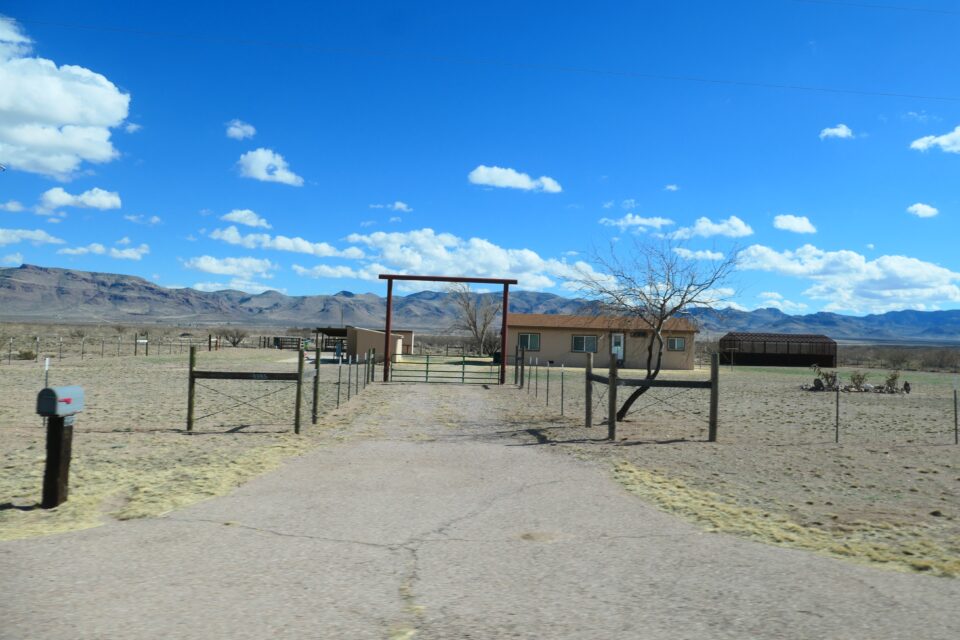
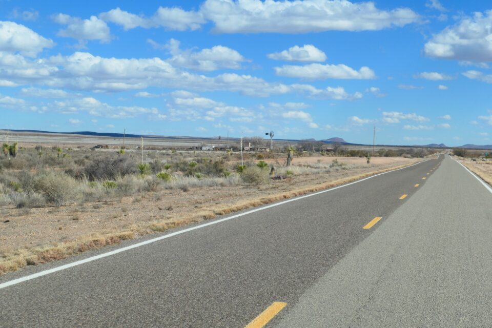
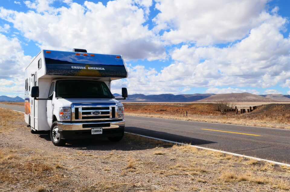
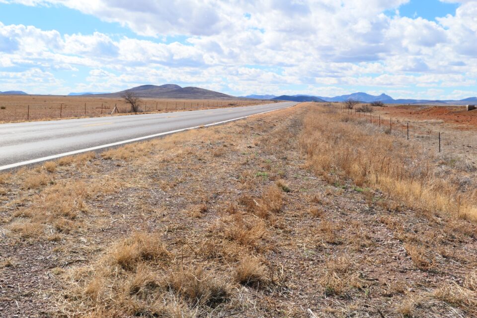
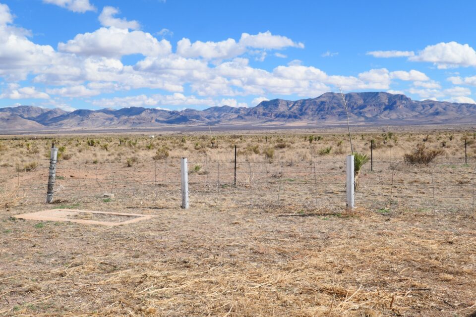
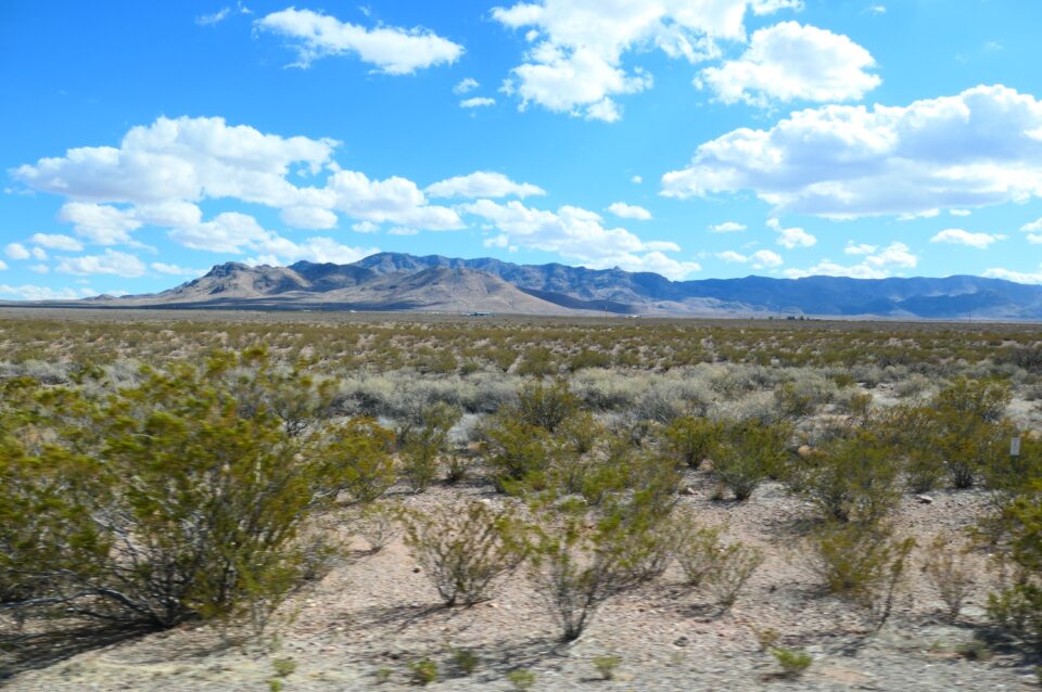
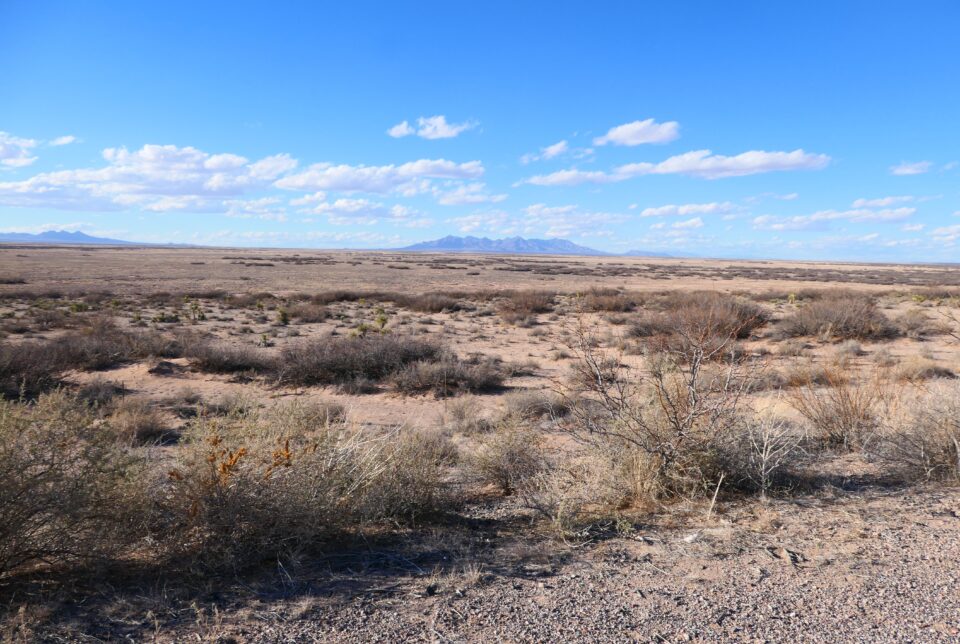
We started the 4-hour drive towards El Paso and instead of returning to the interstate highway, we drove along smaller roads – historic route 80 and then route 9. These are the southernmost paved state roads along the Mexican border. Once again, we found ourselves mostly driving alone on beautiful narrow roads with vast open views. Ranches dotted the landscape. Every once in a while, we would pass some very small towns, some that consisted of no more than a dozen houses. Many buildings seemed abandoned. While the landscape was breathtaking, the towns and villages, much less so.
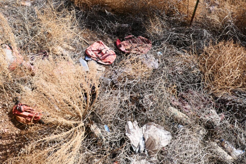
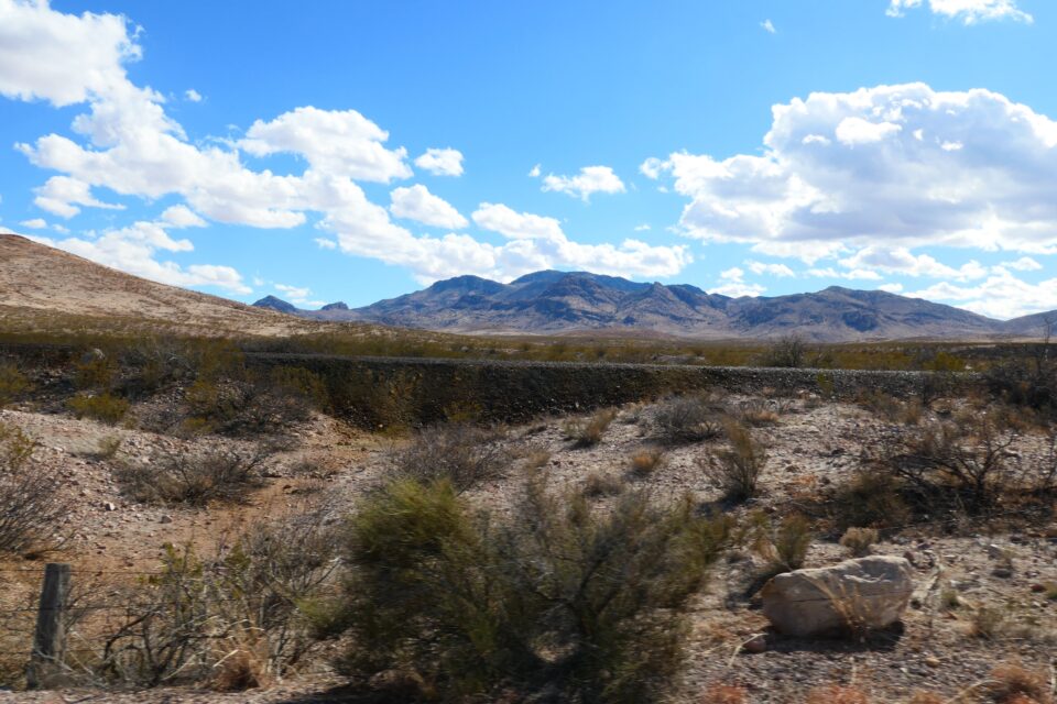
At one point we stopped to make a phone call. We had been looking for an appropriate place along the side of the road to pull over. Finally, there appeared a large flat area, where we could stop. This turned out to be huge drainage pipe under the road, to allow the seasonal rains to flow without flooding the roadway. I left the motorhome to take some photos, and when I looked down into the dry riverbed, I was startled to see several identical backpacks, water bottles, a child’s jacket, a fanny-pack, etc. Being near Mexico, I could only imagine that this was from illegal immigrants. At this point we were about 15 miles from the border – did they walk all the way to this spot through the desert? Did they wait here to be picked up by a car and ditch their belongings before continuing? Maybe they lost their belongings somewhere else, and the rainwater carried the items here? All sorts of scenarios crossed my mind.
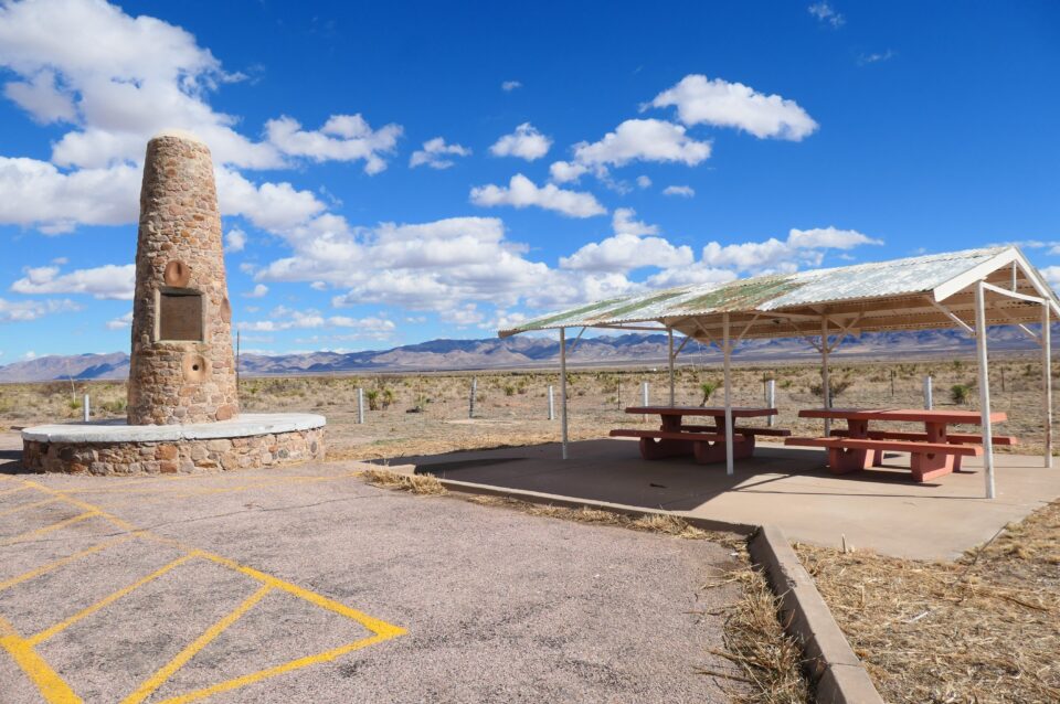
We continued our drive looking for a place to park to have some lunch. Scattered throughout the trip, we would pass many historical markers. These would usually have a parking area next to them. We stopped at the next marker and found it to be a monument erected in 1934, marking the surrender of Geronimo, the last Apache Indian Chief. His surrender to the US Army in 1886, ended Indian warfare in the United States. There was even a picnic table here, but it was too windy to eat outside. We had lunch in the motorhome and watched tumbleweed blow across the road. Just like in old Wild West movies.
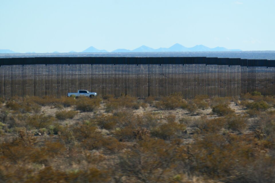
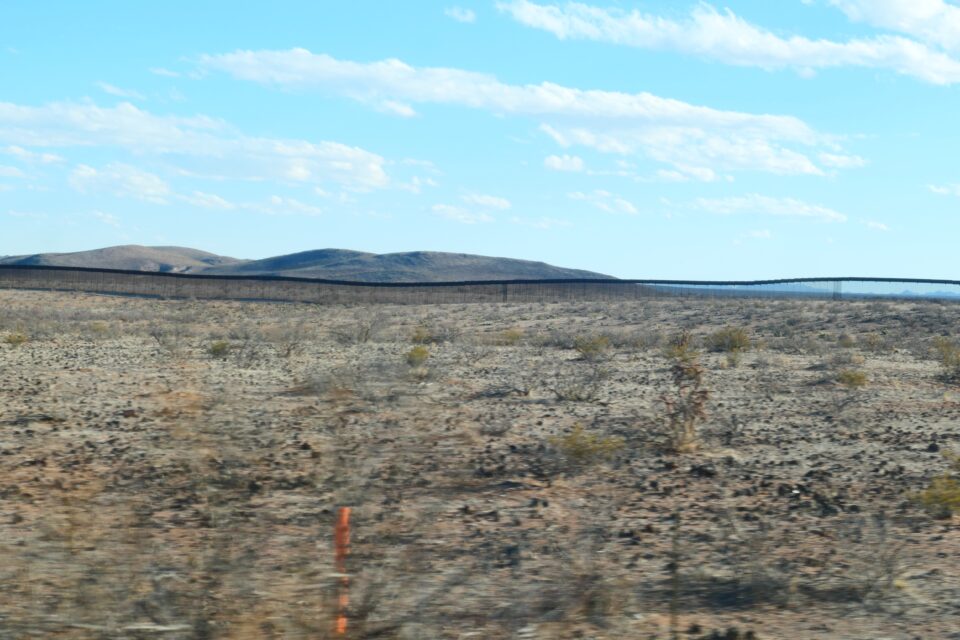
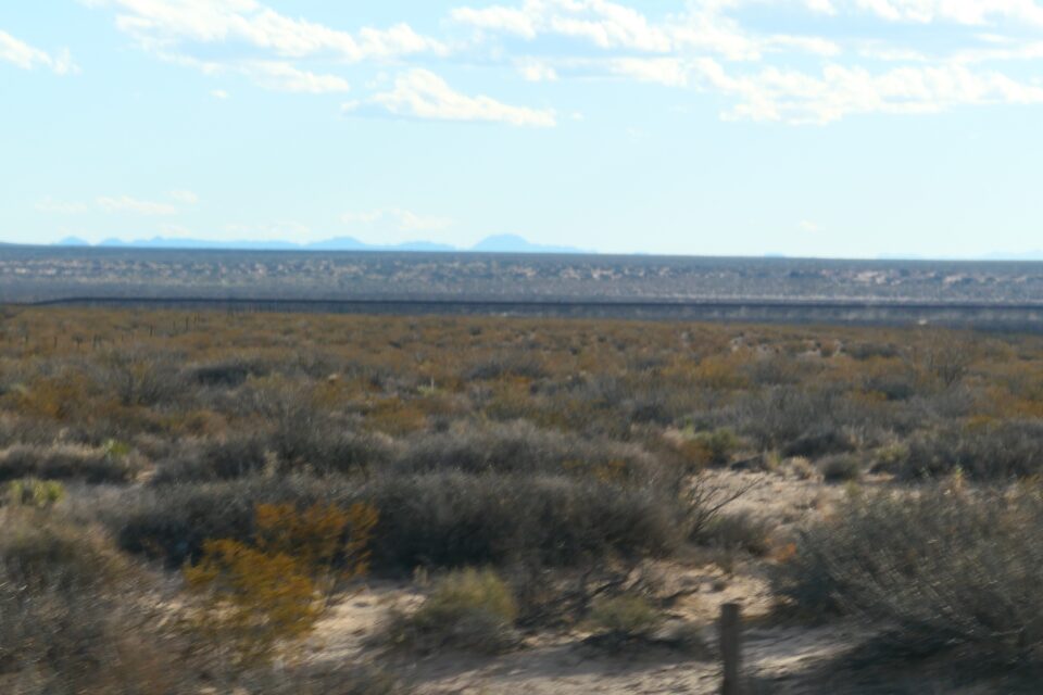
We crossed into New Mexico, and as we approached El Paso, the road stayed within 5 km (3 miles) of the Mexican border. It was here that we all of a sudden saw a huge construction site that was building of a fence along the border. From here all the way until El Paso, there was a border wall. Who knew? When hearing all the stories about illegal immigration, I assumed there was very little or no fence. Turns out the opposite is true, most of the border that is on dry land, from El Paso to the Pacific ocean, has a fence. My understanding is that when Trump talked about building a fence, it meant mostly upgrading the current fence and filling in some gaps. Biden initially opposed this, but recently has allocated funds to enhance the wall. There are still a few gaps, mostly in Arizona, and those are where the majority of illegal immigration and drug smuggling takes place today.
We finally reached the outskirts of the El Paso metro area. Traffic was bad, almost like in LA. It took us an hour to reach our campground in the middle of the city – basically a crowded parking lot for RVs in a very concrete, treeless setting. Tomorrow, we hope to get a more favorable impression of El Paso.
amazing trip and amazing commentary. Yes, it did not look like you needed to get in line for the many visitors to the Douglas-Bisbee Cemetery!
Beautiful pics!