NOVEMBER 22, 2021: Today was literally the high point of our trip – at 1,993 meters to be exact. The highest elevation in mainland Portugal.
The day began in Seia. This was one of the few places we visited without a castle. There once was one here, but not even the ruins are left. There were several museums we would have liked to go to – the Bread Museum, for one – but on Mondays, museums are closed. We therefore started the day at the tourist information office to ask about any Jewish sites in the area. Patricia, the office worker, was very excited to talk with us about the Jewish sites. She suggested we drive to Santa Marinha, a small village about 6 kilometers away. In that village are several signs from the Jewish past, and the village has created a map highlighting the places. Her parents lived in that village and she remembers that as people would remodel homes, they would find what today we know to be hidden arks. They would get destroyed during the renovation, not realizing their historic significance. Today there is greater awareness of the history and the need to preserve any artifacts found.
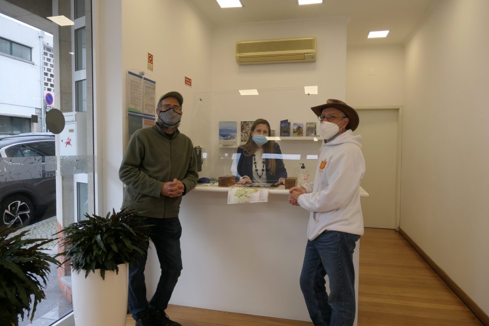
Patricia in the Seia Tourist Information Office
She knew the area like the back of her hand – turn at the yellow house, look for a narrow passageway between these two buildings, and so on. With her instructions and her enthusiasm, we drove to Santa Marinha. While at the tourist information office, it was lightly raining outside. Now in Santa Marinha, the sun was shining, but it was very cold and windy – hat and glove weather. We walked around the small town locating the Jewish sites. Unfortunately, the map was not very exact, and we only located about six of the nine sites. We were happy to return to the car to warm up. By now the clouds had mostly disappeared, the sun was out, and although it was cold, visibility was clearing up.
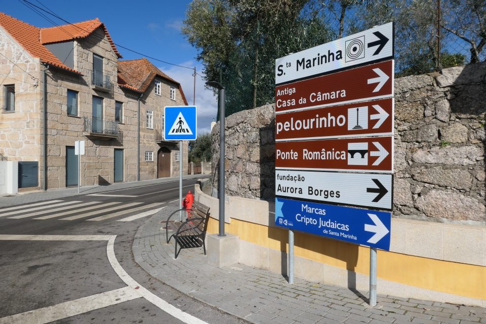
The entrance to Santa Marinha with a sign for the Crypto-Jewish marks 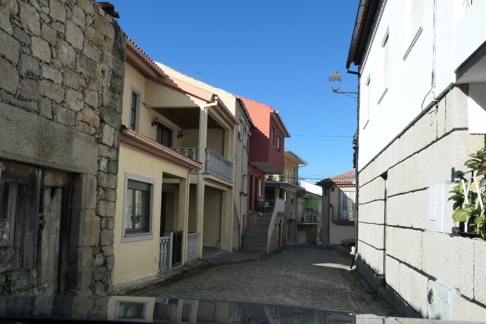
Main street Santa Marinha 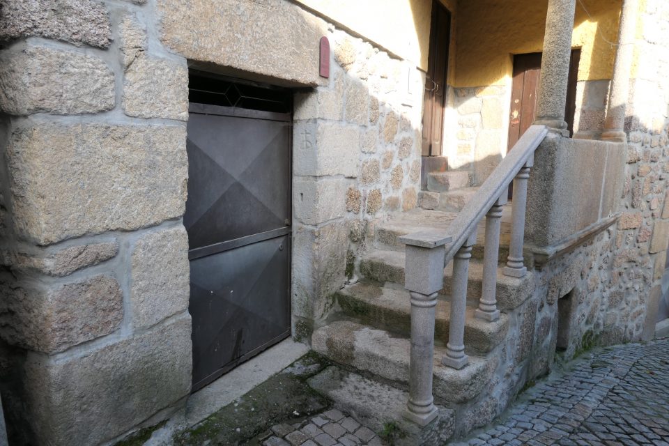
A very clear marking. Jewish houses also often had two entrances, one for their store and one for their home. 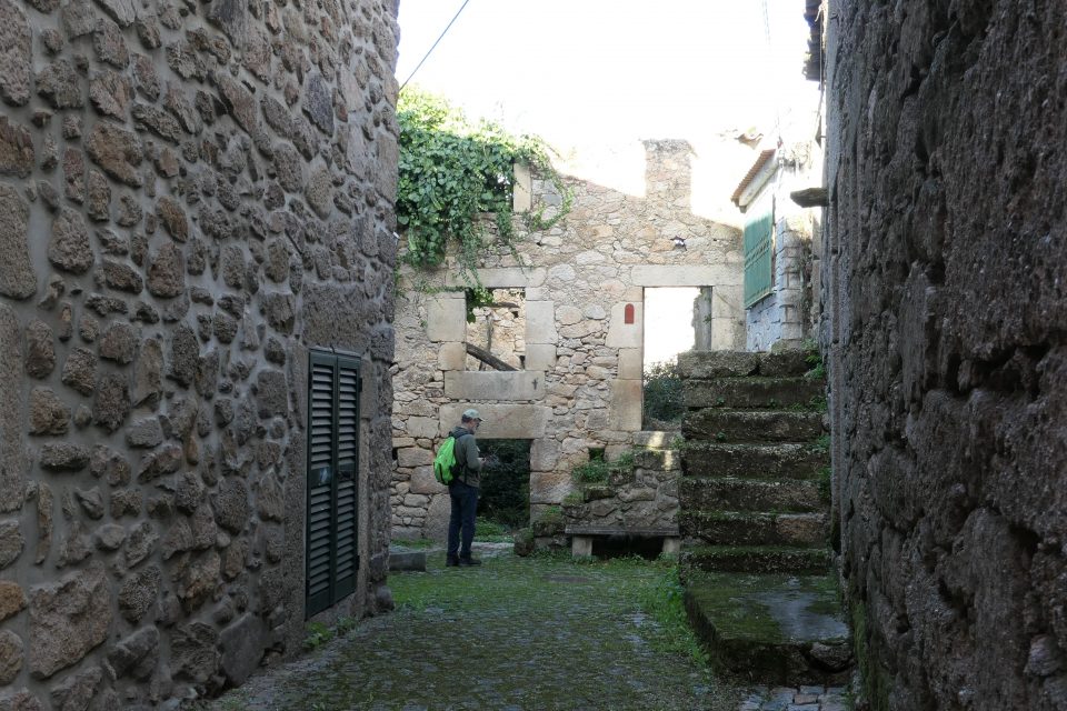
Mark verifying the GPS location of another marking in a courtyard 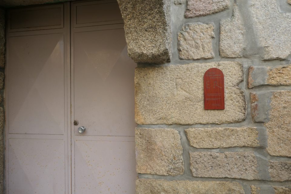
The marks are clearly signed. This sign also indicates that this was known to be the house of the shoemaker. Not sure what the symbolism of the letters that look like E R mean.
We left Santa Marinha and started making our way to Torre, Serra da Estrela. Torre is the peak of the Serra Estrela range of mountains, and the highest point in mainland Portugal. Only Mt. Pico in the Azores (which belong to Portugal) has a higher elevation. From Seia, which lies at the foot of the mountains, to Torre, is a 28-kilometer drive that can be done in about 40 minutes. It took us twice that because of stopping on the way to photograph. Every inch of the journey was amazing, spectacular, gorgeous, stunning – no words can adequately explain the beauty of it.
First, as you climb, you have wonderful panoramic views of the valley and villages below. As you get higher, the landscape changes to green and rocky. Slowly you cross the tree line, and with nothing in your way, you can see for miles. The temperatures get colder and colder as you make your way up. We were lucky that the rain has stopped – the sun was out and visibility was clear
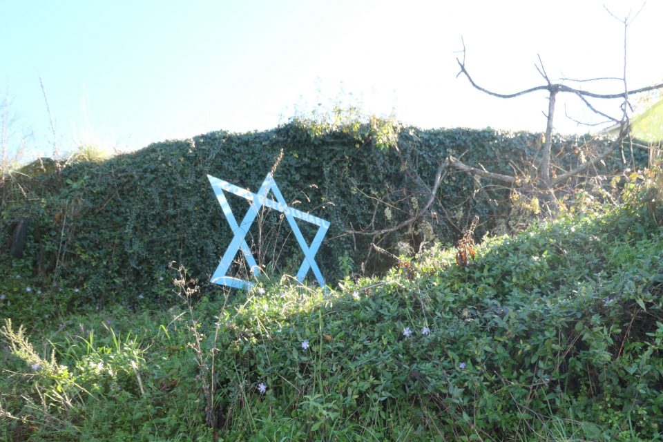
As we start driving up the mountain we pass this large God Bless Israel Magen David! What??? 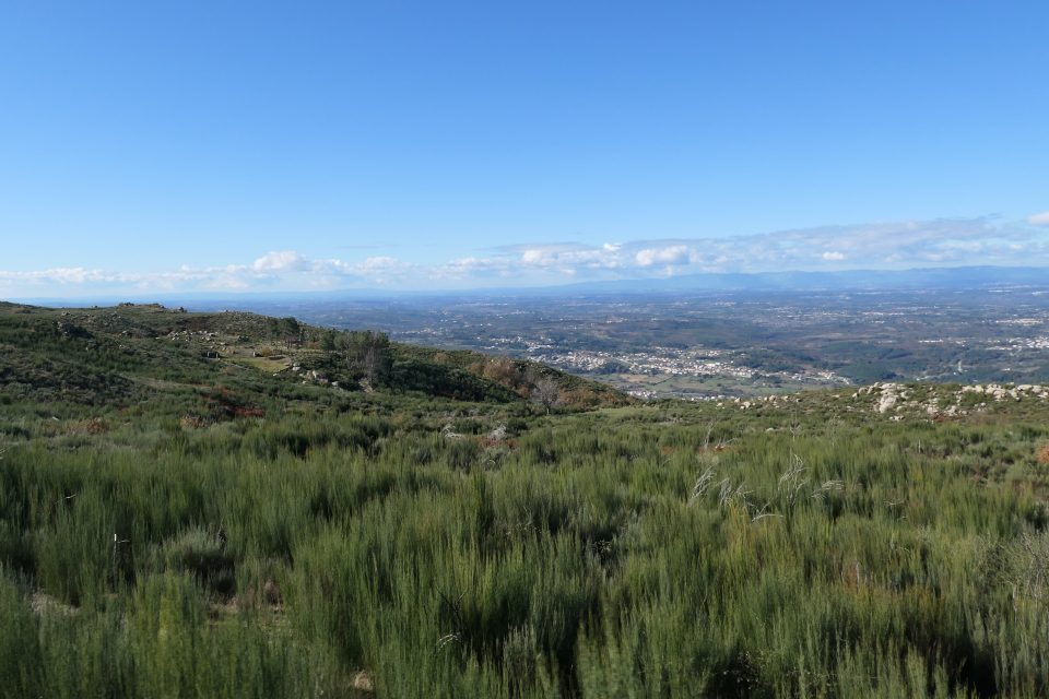
Starting to climb 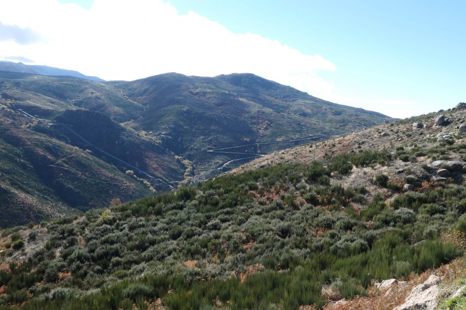
Getting higher 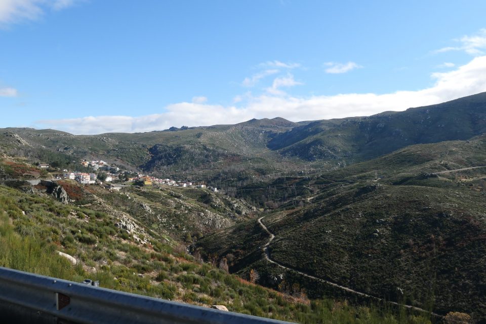
A village in the mountains 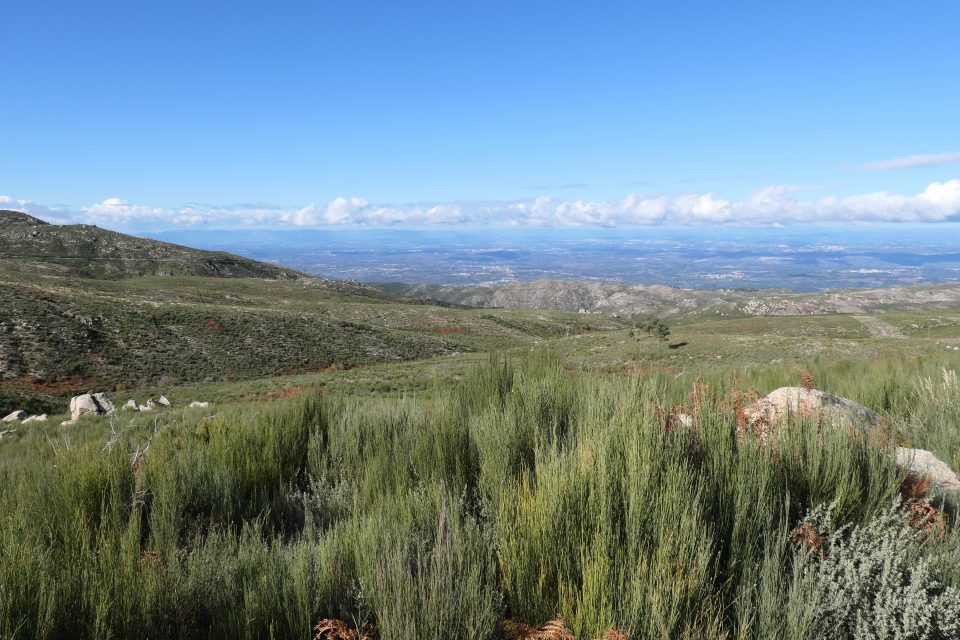
Still higher 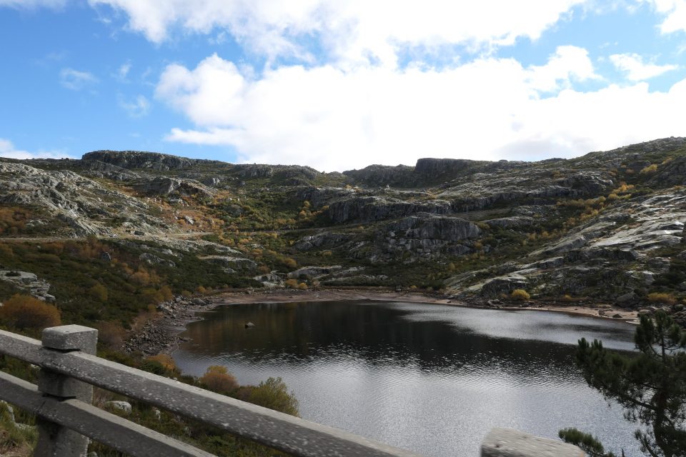
The area is dotted with lakes created by dams 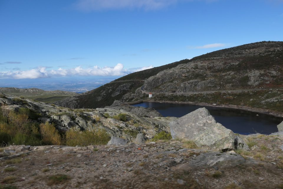
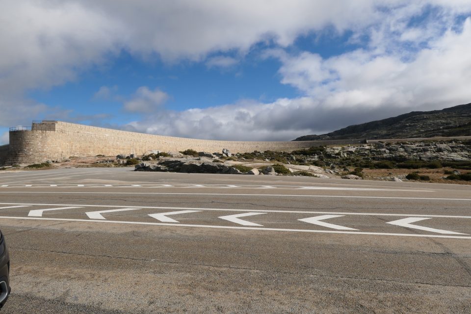
Towards the top is a huge water reservoir 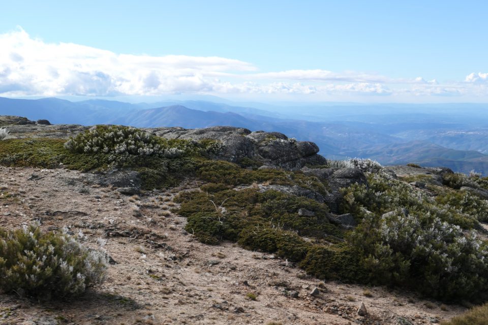
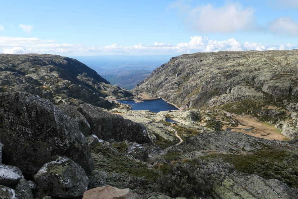
Another lake. My favorite view
At the top, at the site of what looks like an abandoned army installation, were the usual tourist gift shops and restaurants. The top of a ski lift was nearby. In the middle, there is a traffic circle, with a 7-meter tower. The height of the mountain is 1993 meters, and this tower makes it an exact 2000. We did not stay long – the temperature was -1 Celsius, with a thin dusting of snow and ice on everything. David even managed to make a snowball and throw it at Mark.
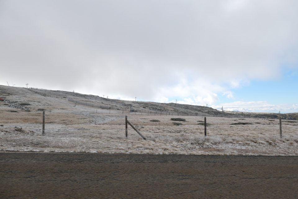
Approaching Torre. Ground covered in a thin layer of snow. 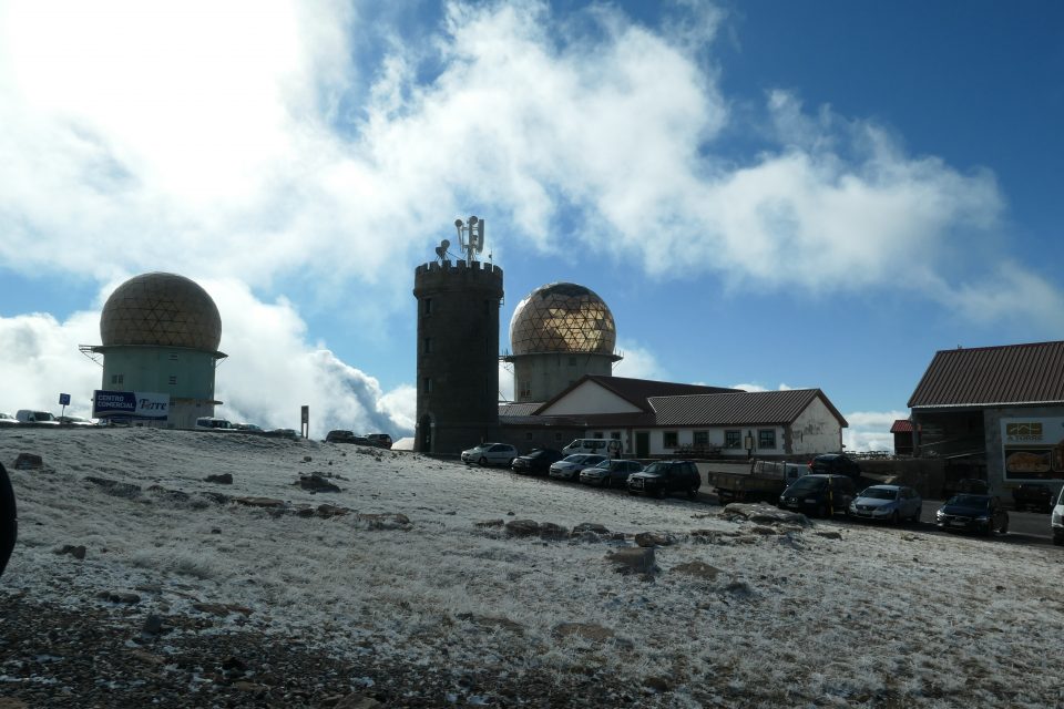
Torre 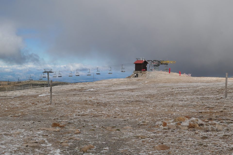
The ski lift
We resumed the journey eastward, toward Covilhã, 17-kilometers down the other side of the mountain. Spectacular views continued.
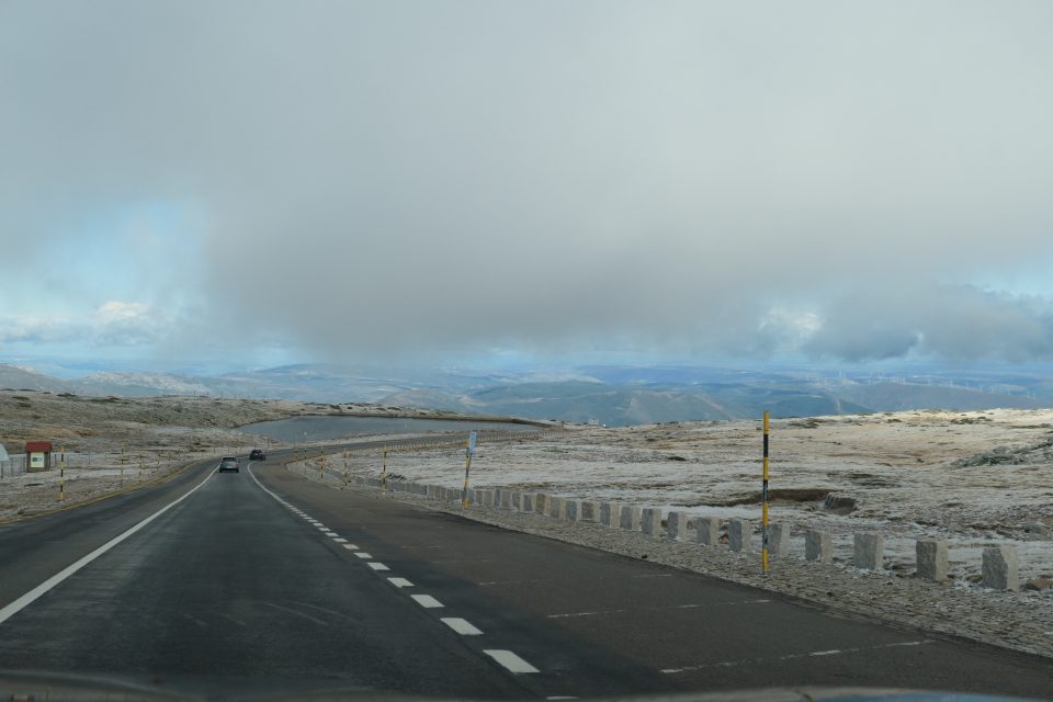
Heading down 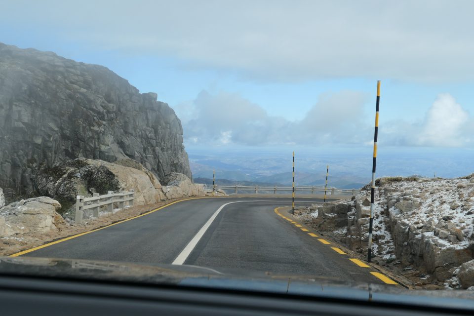
The poles on the side of the road are to measure snow height 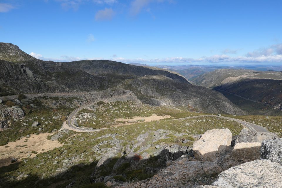
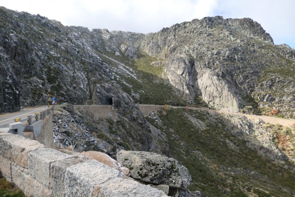
The winding road down 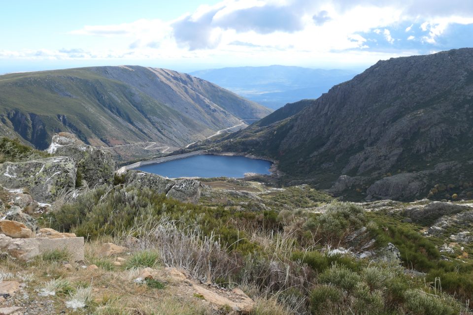
Another lake 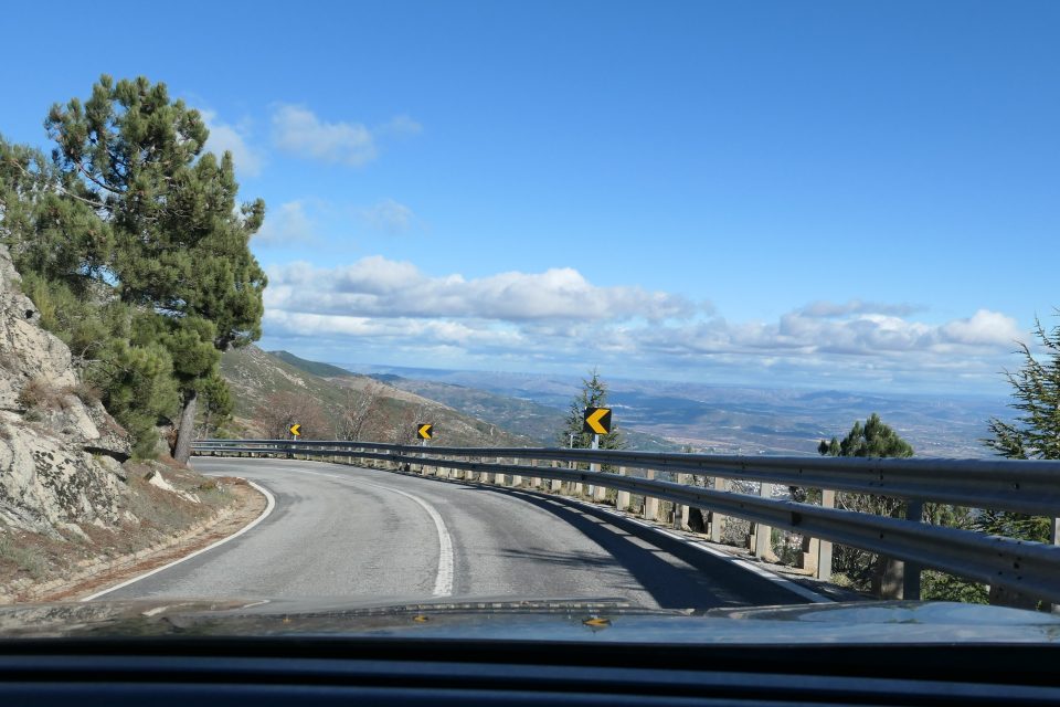
The valley on the other side
Covilhã is a small city that once had a thriving Jewish community. Today, a large section of the historic part is considered to be the former Jewish Quarter. We walked around the streets and found a couple of signs, but not much. In the early 1900s, the community was revived and had over 6000 members. A synagogue was built. With the dictatorship of Salazar, all that disappeared.
Currently, the most Jewish item in this city seems to be our Airbnb. We are staying in a building, that has been divided into several apartments. Being located in the old Jewish quarter, they themed each of the apartments based on one of the trades the Jews worked in. David is staying in the weaving apartment. In his room, he has an old machine that spins the wool into thread. Mark and I are in the money lending room. Enough said.
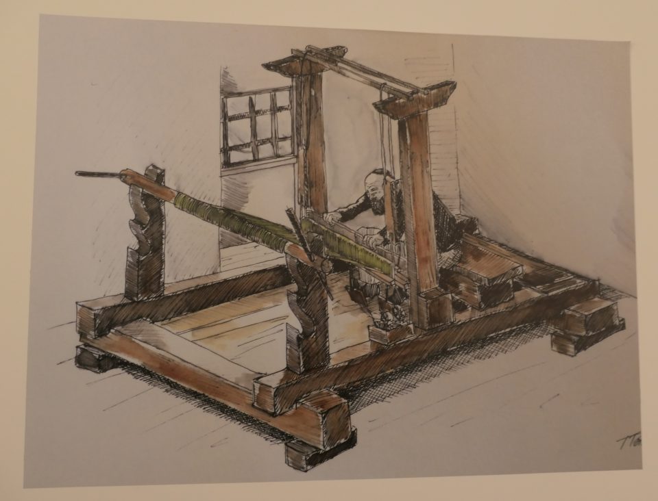
Entrance to the weaving room 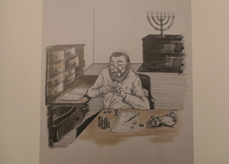
Entrance to the money lending room 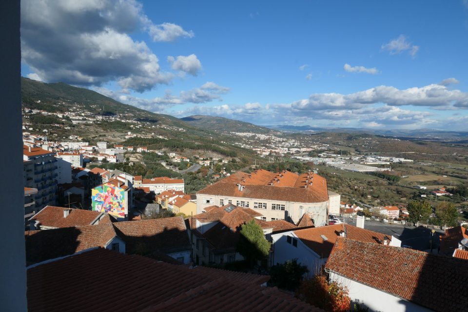
The view from our bedroom window
We had run out of salad vegetables, and went shopping at a small local grocery store. One item that this area is known for is the Serra Estrela cheese. This is a special cheese that you buy bound in cloth. It has a hard crust and a runny inside. It is made only in this area, and only from the milk of the Bordaleira breed of sheep. I bought a piece to taste at dinner.
Evening was the usual, cooking dinner and then on the computers. The cheese was tasty – reminded me of Swiss cheese in flavor, but not as runny as I imagined. Maybe it needs to be at room temperature to be runny – we had it in the fridge. I will leave it out tomorrow, but out in the car might not help – the weather is cold and everything in the car gets cold as we travel. Our ice packs do not melt. When I brought my computer in to the apartment from the car, I could not place it on my lap – the metal was too cold and needed to wait for it to warm up in the apartment. Hopefully, as we move south, the days will get warmer.
We received an email from Patricia, who we had met in the tourist office that morning. She had told us that the municipality had a PDF pamphlet about the Jewish history of the area, but their website was being redone and it was not available to download. During the day, she called people she knew, and managed to get a copy which she emailed to us in the evening. Once again, the locals have been very helpful. The PDF turned out to be a 50 page pamphlet of images of Jewish finds in the area. In spite of having been to many places, we did not recognize any of the village names. To me this was an indication of how dispersed the Jews were all over this region. Patricia also sent us the email address of one of the local historians – José Levy – who is researching the Jewish sites in the region. Coincidently, the same José Levy that authored an article I had sent to Mark to read the evening before.
Tomorrow we return to visiting some medieval villages. Maybe, if the weather cooperates, we can try flying the drone. Something new to look forward to. Good night.
Very nicely written!