FEBRUARY 9, 2024: We once again woke up to find snow on the ground, but soon the sun came out and melted all the snow. Like on the previous days, the day started out cold but sunny.
For the past three nights we had stayed at the same campground in Santa Fe, and this morning it was time to move on. We were heading south to warmer weather in Albuquerque and we had a couple of stops to see along the way.
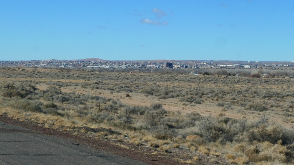
Our first destination was Rio Rancho. My father always thought the best of everyone, and when someone offered him a free breakfast and an impressive marketing presentation, he naively believed all they offered was true. Thus in 1975, my parents became owners of a plot in Rio Rancho Estates, a supposedly up and coming city adjacent to Albuquerque. With the plot number in hand, we wanted to see the land they bought.
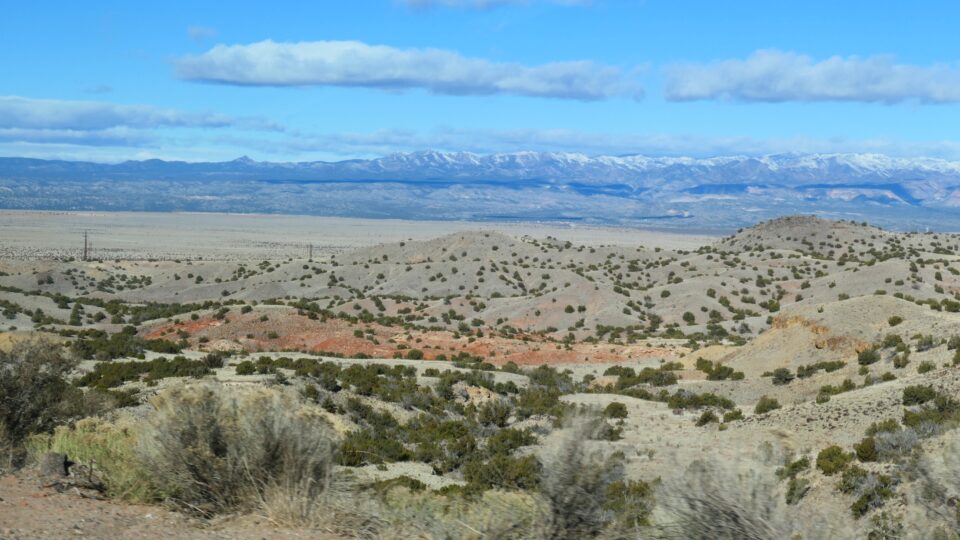
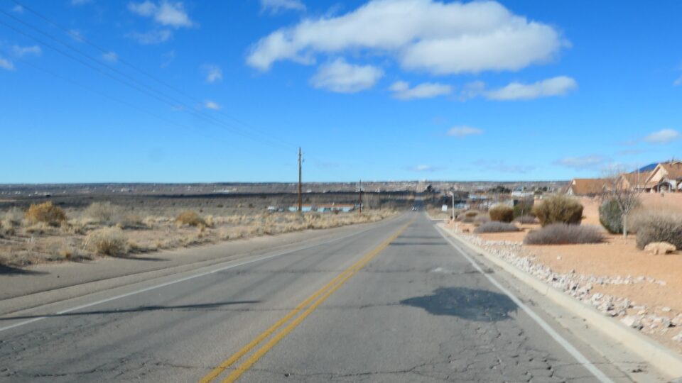
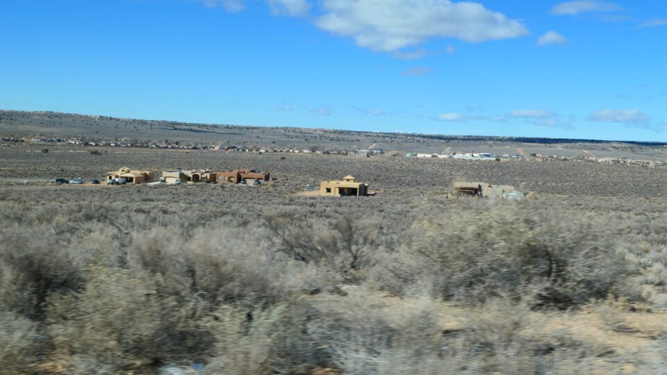
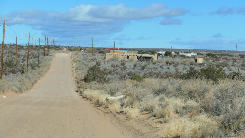
Today Rio Rancho is the third largest city in New Mexico, and the fastest growing. In this respect, what they sold my father was true. What was a bit exaggerated was the location of the specific plot. We reached the city of Rio Rancho and continued towards Rio Rancho Estates. After a few minutes we passed the built-up area and reached mostly empty land. Occasionally there would be some houses, but the landscape was largely barren. After driving for about 10 minutes, the GPS told us to turn onto a dirt road. We still had three more miles to go. After hitting a few bumps on the road, we decided that to be in the middle of nowhere on a rough dirt road in a large motorhome without phone reception was not such a good idea. We turned around and left, plot unseen, but with the clear understanding that the plot area will not be developed anytime soon.
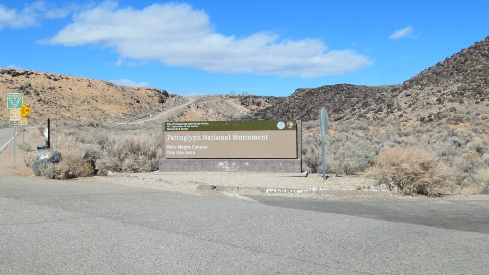
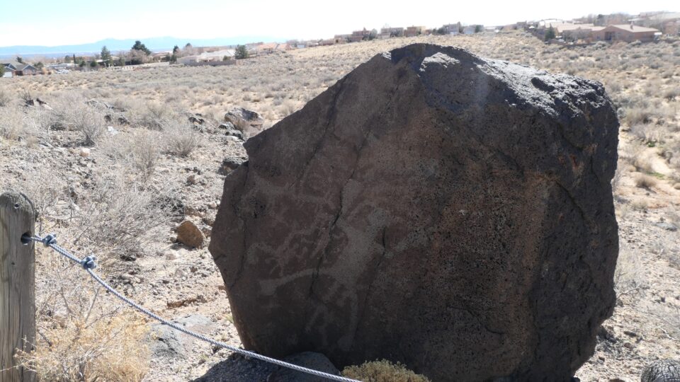
Our next destination was Petroglyph National Monument Visitor Center. Usually, these National Park Service sites are out in the wilderness. Not this one – this Visitor Center was located within the city of Albuquerque and surrounded by suburban housing. Not what we expected.
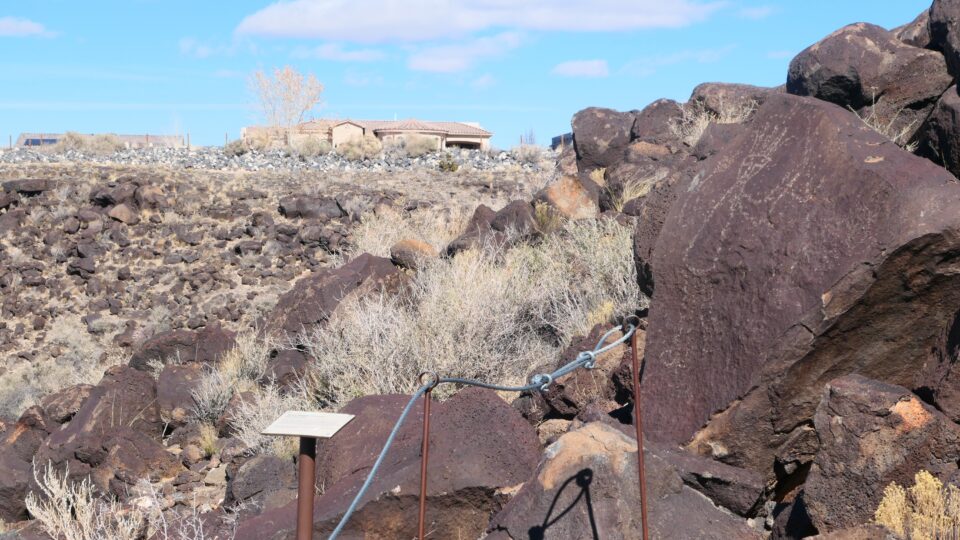
Petroglyphs are rock carvings made by chiseling on the rock surface exposing lighter rock underneath. At the Visitor Center we learned that to see the petroglyphs, we would need to drive to one of three different locations. It was Friday morning. We still needed to prepare Shabbat. We only had time to see one. How to choose which one of the three to see? We decided to go to the one that in its description did not include a warning about locking your car. Before leaving we used the bathroom, and our choice was further validated when we saw that someone had scrawled on the bathroom wall that cars are being broken into at Rinconada Canyon – one of the two we decided not to go to.
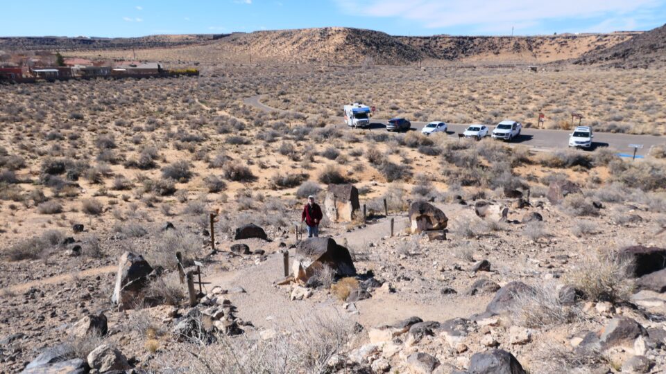
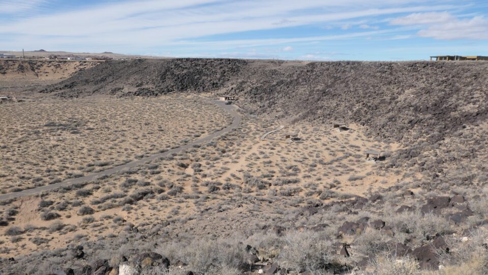
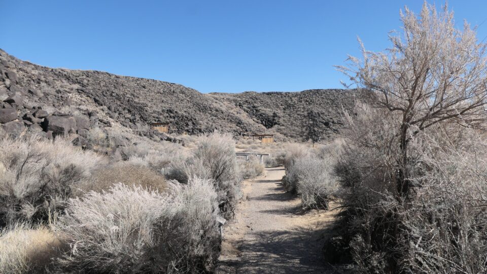
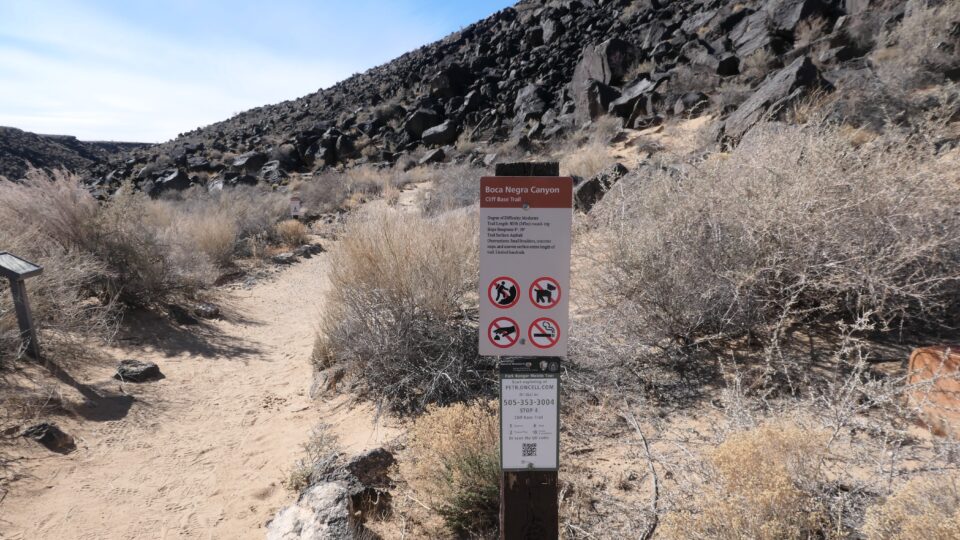
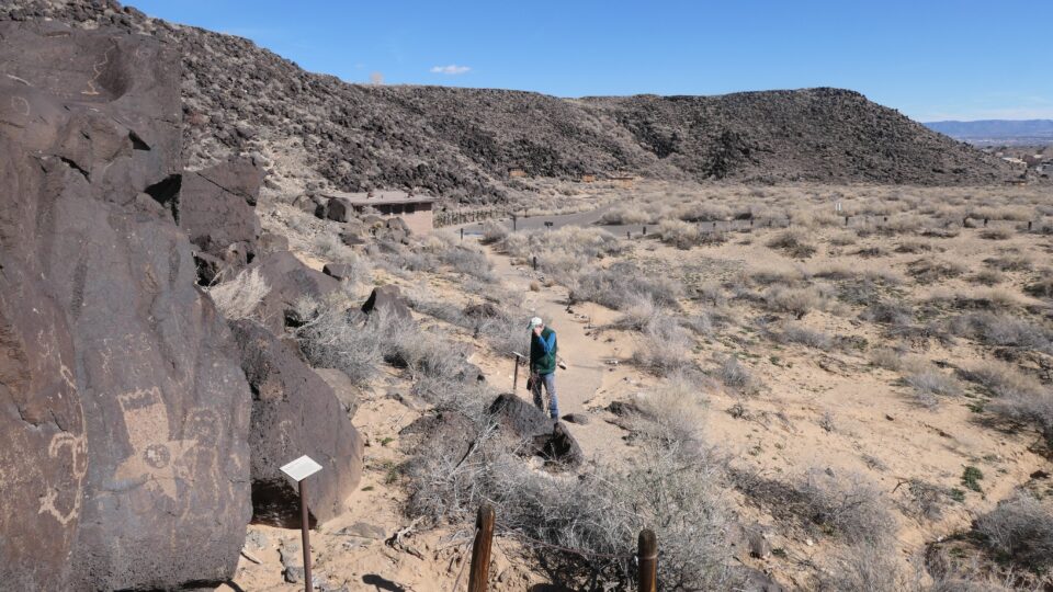
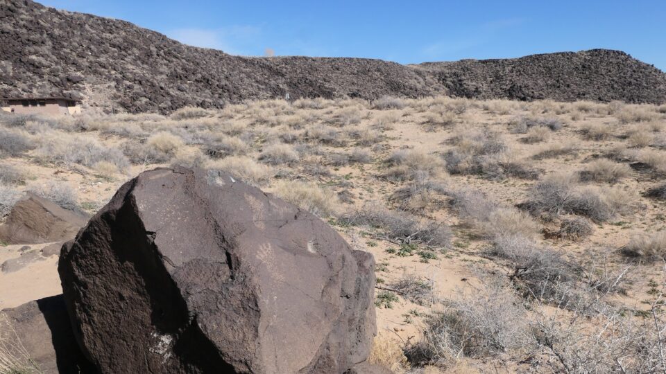
Our choice was Boca Negra canyon, where there are several short trails to see the petroglyphs. The official motorhome parking lot was near the entrance and somewhat isolated, so we ignored the signs and drove in and parked in the car parking lot, next to the trailheads, where we could easily keep an eye on our motorhome. While hiking, we would be leaving our valuables (our computers, our passports, our food) inside.
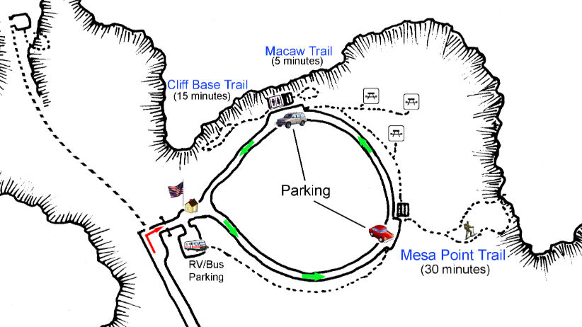
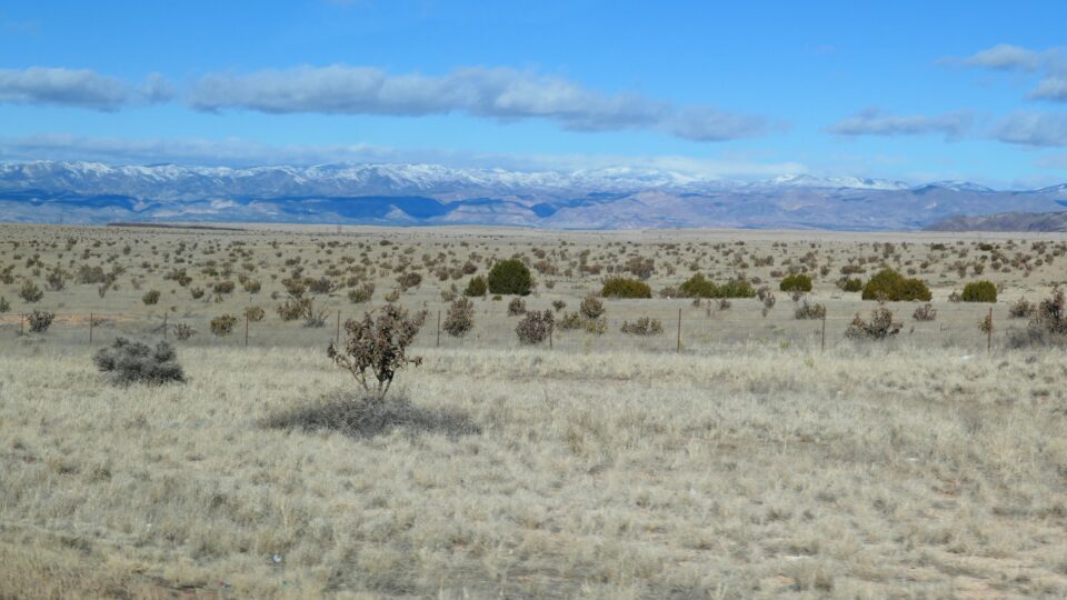
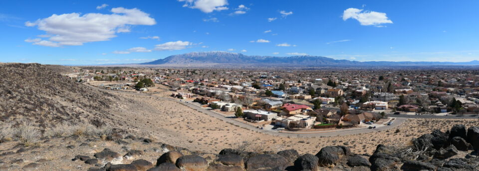
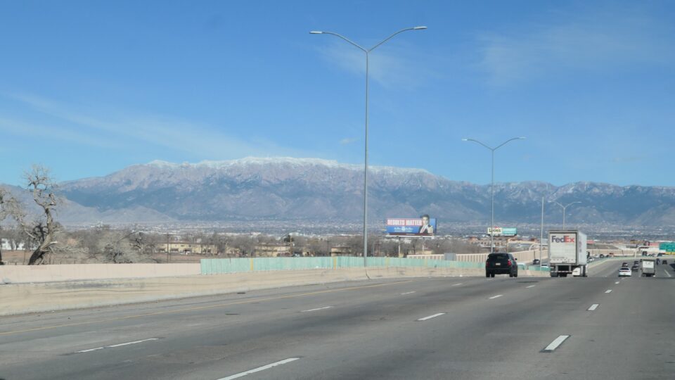
The first trail, the Mesa Point trail, was up a hill. When we reached the top, we were rewarded with a panoramic view of Albuquerque and the mountains that surround the city.
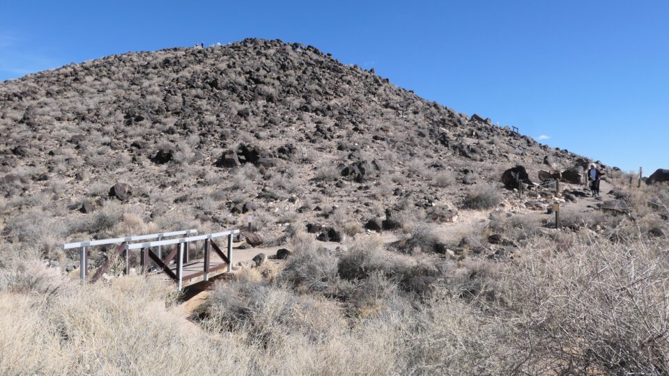
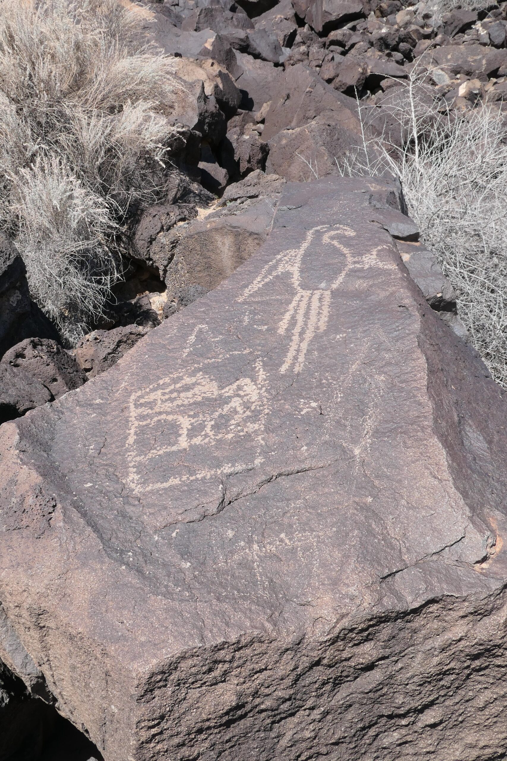
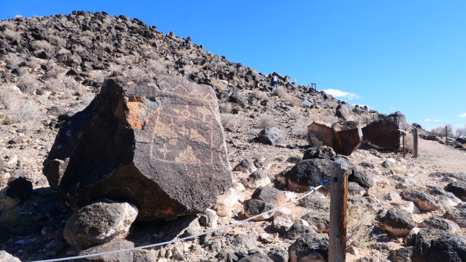
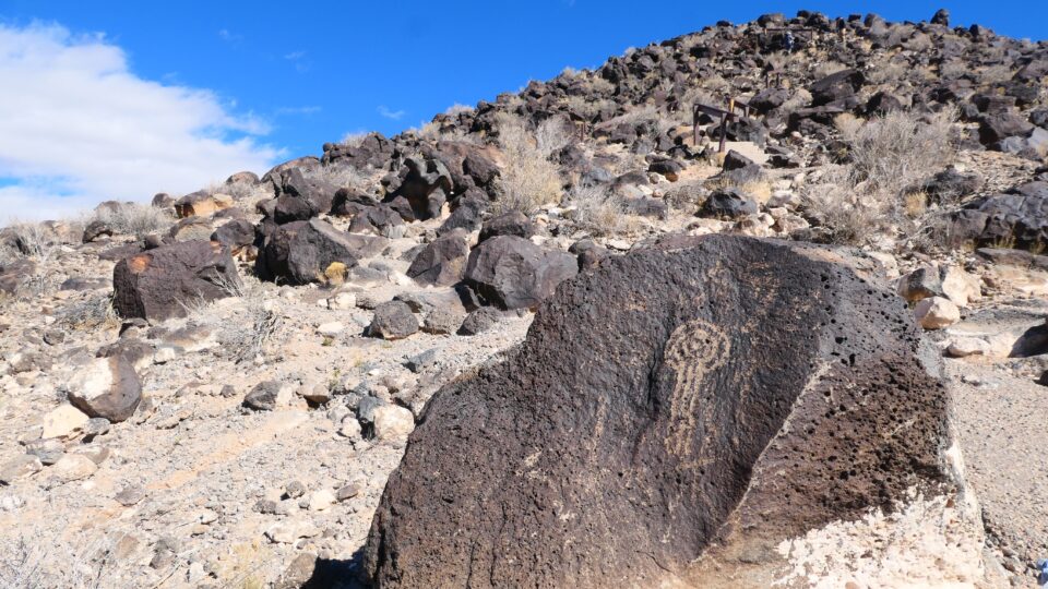
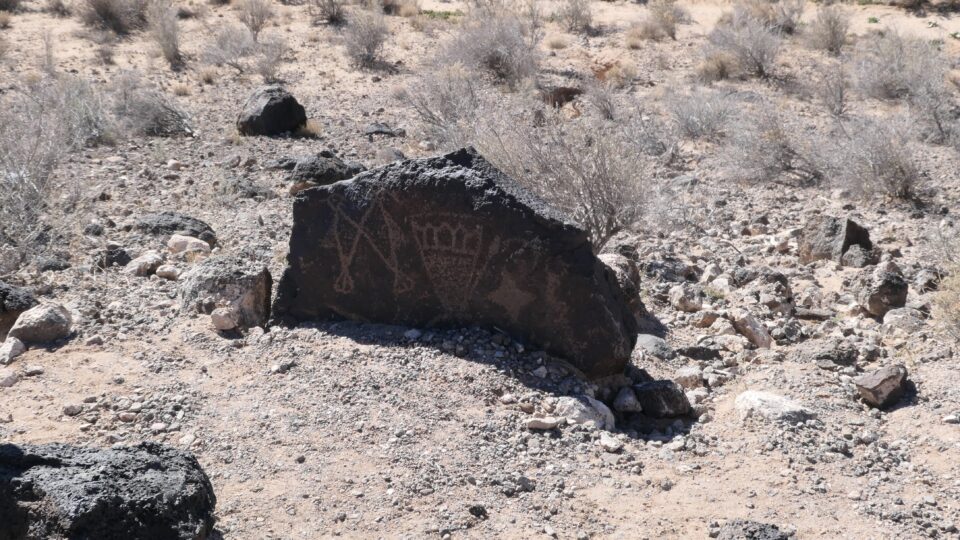
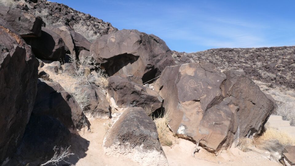
On the way up, we saw our first petroglyphs. Petroglyphs, which are chiseled into the rock, differ from rock paintings, which are painted on the rock. Archeologists have found over 21,000 petroglyphs in the canyons of the monument. It is estimated that most of these were created by the ancestors of the Pueblo people, between 1300 and 1700 C.E.
We then went on what we thought was the second trail, but discovered that this was just a path to the picnic tables. This turned out to be a good mistake because on the way we saw a roadrunner. It did not say beep, beep nor run very fast, but it was still very exciting to see one.
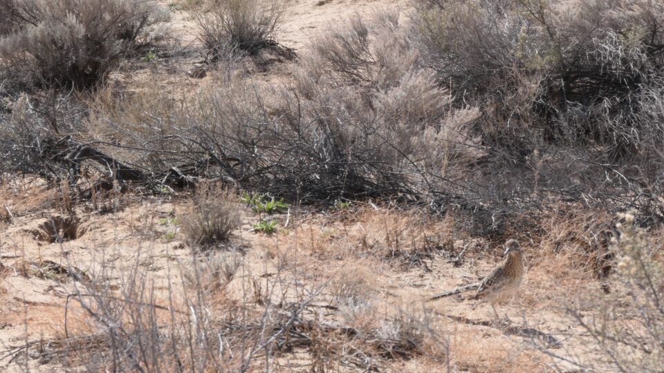
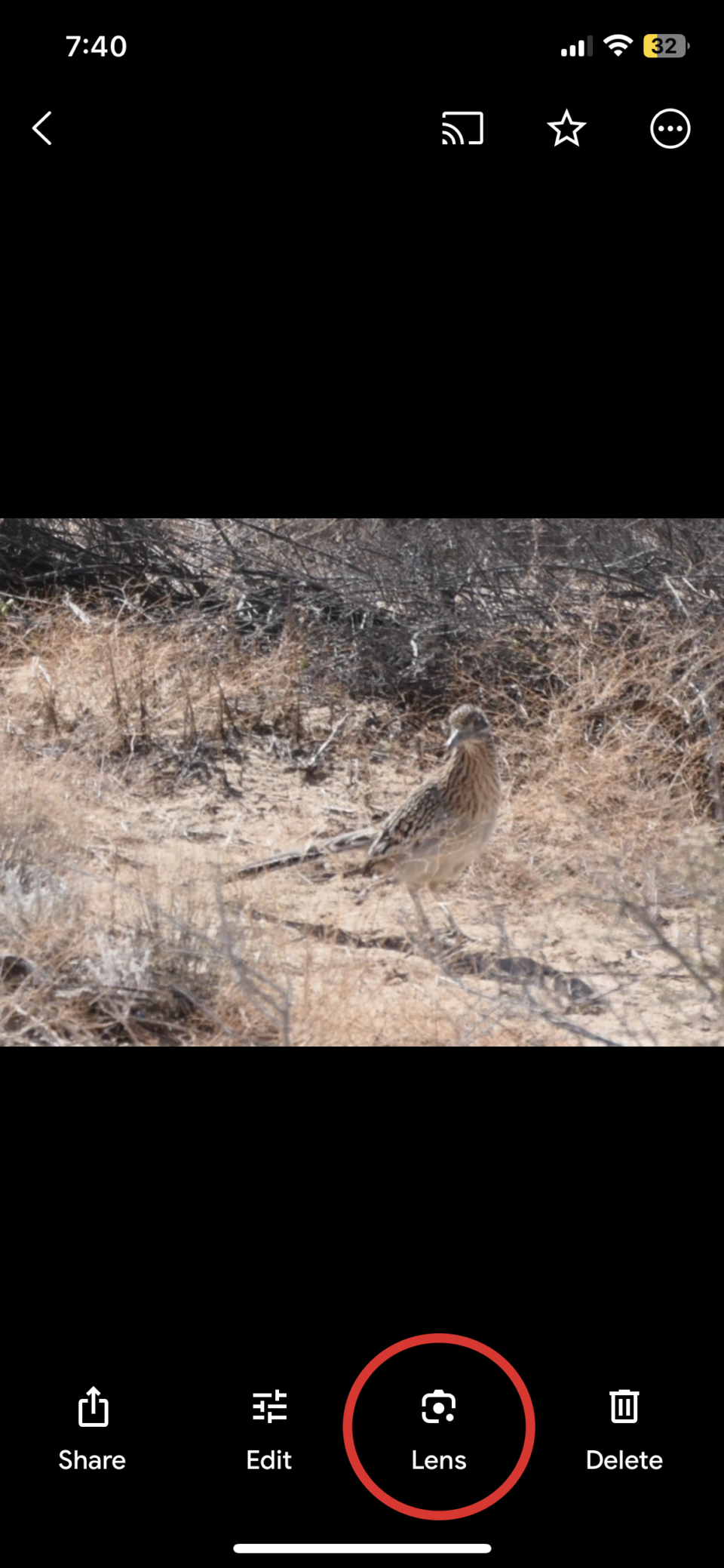
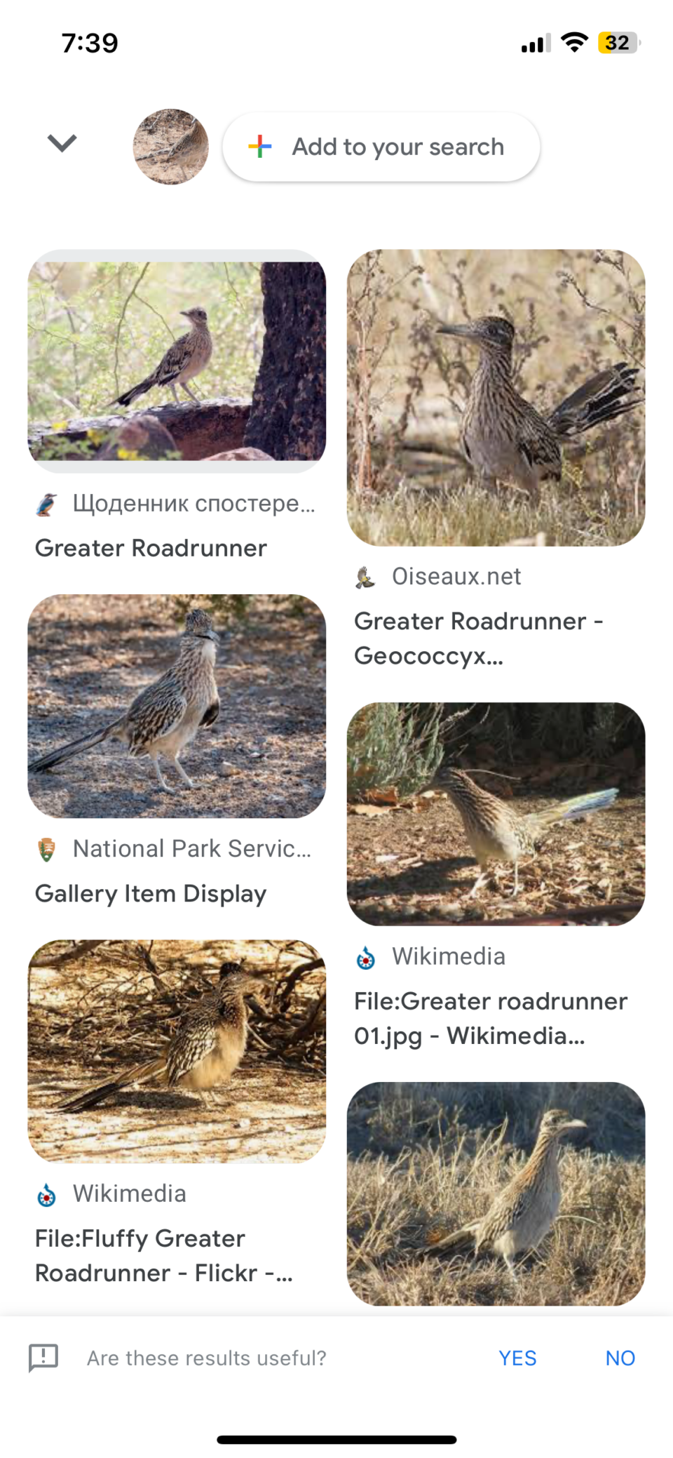
How do I know this was a roadrunner? First, instead of flying, it ran through the desert shrubs. However, to be absolutely sure, I used a feature in Google Photos. When looking at a picture in Google Photos, next to the Share icon (which I use all the time) is a Lens icon. I recently learned, if you click on the Lens icon, you get the results of a search on Google for similar photos. This confirmed that what we saw was not just any roadrunner, but a Greater Roadrunner.
The next trail, the Macaw trail, was very short. As the name implies, the trail lead to a petroglyph of a bird that looks like a Macaw. Today we don’t know the significance of the petroglyphs, but we do know that their design and placement was not random, and they once had a meaning that we no longer understand.
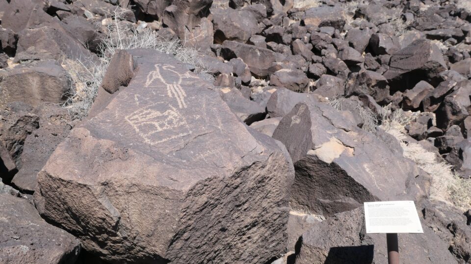
The last trail, called the Cliff Base Trail, was my personal favorite. Here was the largest selection of petroglyphs, and being furthest from where most people parked their cars, there were no other people around. We had the scenery all to ourselves.
This was winter, days are short and it was soon time to head to our parking spot for the night. Petroglyph National Monument is on the western side of Albuquerque. The KOA campground, were where we would spend the next three nights is located on the southeastern side of the city. We drove there, prepared Shabbat and looked forward to the opportunity to rest in the coming day.
0 comments on “Reached Albuquerque”Add yours →